Day 12: Lassen Volcanic National Park to Greenville, CA
September 14th, 201279.2 mi / 6:14:55 time / 12.6 mph avg. / 4318 ft. climbing
Staying at Greenville National Forest Campground
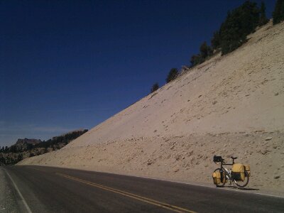
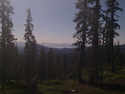
For the second day in a row, I faced a big morning climb, and the two experiences couldn’t have been more different. At 6000+ feet, the temperatures stayed a perfect 65-70 degrees, even in this he continued cloudless skies. The park road was nearly empty; I saw a car every 15 minutes or so, and it felt like the park was all mine. I took it easy, never pushing, going pure aerobic cardio the whole way. The elevation only seemed to be affecting my oxygen uptake when I wondered “is the elevation affecting my oxygen uptake?”, which probably means it wasn’t affecting it at all. California has roadside elevation markers for every 1000 feet, so I ticked by 7000, then 8000, and then the top, at 8512. Unfortunately there was no sign for the summit, but it obvious enough for me to still get a photo. 7.8 mph average over 22 miles and 3200 feet of climbing.
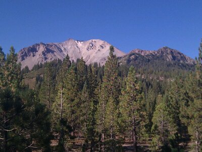
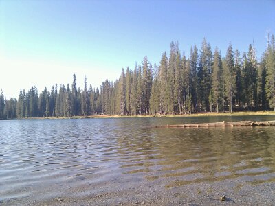
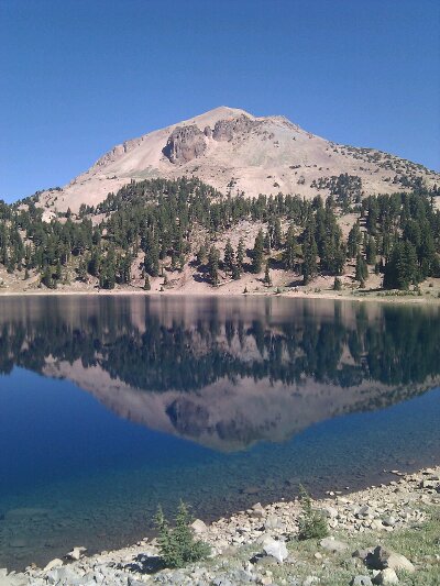
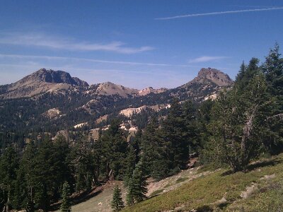
There are a lot more peaks in the park than just the 10500 foot Lassen Peak. They’re all remnants of a much larger, historical volcano, so that’s why everything is all crumbled and lumpy, unlike the symmetrical cone of a Mt. Hood or a Mt. Shasta. I kind of like the lack of perfection, because it gives a lot more variety and different views.
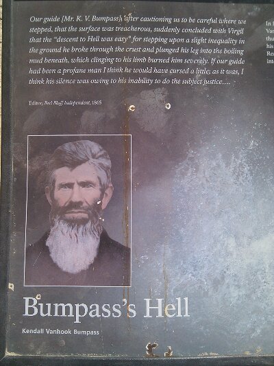
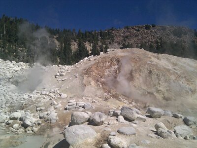
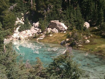
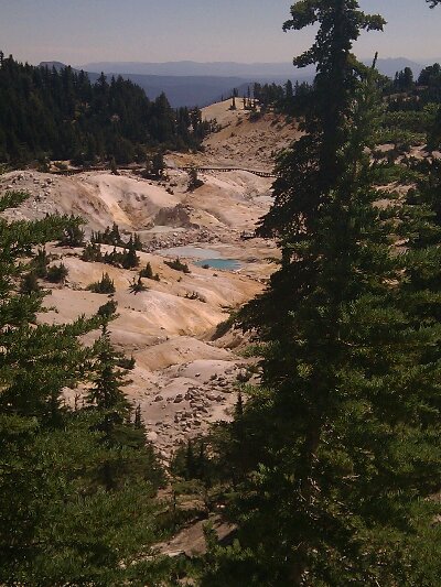
Just after the summit I stopped to hike the 3 mile round-trip trail to Bumpass Hell, because how could I skip a place with a name like that? And here I thought I had already been through Bumpass Hell yesterday, on that section of road that had a jarring crack every 10 yards, but apparently not (thanks folks, I’ll be here for the rest of the month!) In reality, Bumpass Hell is the proof that “Volcanic” truly belongs in the Park’s name. It’s an active the thermal basin with boiling pools and steaming fumaroles and sulfur air. It was discovered by some guy named Bumpass whose travails were recorded in the wonderful prose below. I figured it would be a pretty weak thermal area compared to Yellowstone, just a single steaming vent saying “I am a volcano! Really! Look, I’m steaming!” So I was surprised with how large and varied and fuming it was; except for the lack of actual geysers, I’d say it was on par with what I’d seen at Yellowstone. Hiking the 300 feet back up from the basin felt like more work than climbing the 8000 feet to get there!
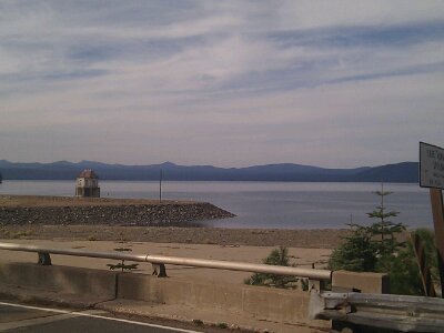
Then it was a long, fun descent to the Visitor Center cafe, where I got a National Park-priced ($18) lunch, though at least it included a beer (another Sierra Nevada, now fully appropriate!) The descent continued for another 10 miles or so, and then flattened as I neared Lake Almanor. Besides getting a nice reminder that I actually can move pretty well on flat ground, Lake Almanor was pretty much a pain in my ass. The main town, Chester, was 3 miles north of the crossroads where I turned south, so I didn’t go there, and then there was a series of lakeside areas which may have had a restaurant or something, but there was no clear info, they might have been closed for the season, and they were somewhat off the route too. I was planning to stay at a National Forest campground a mile or two north of Greenville, but that would be 50+ miles without a fuel stop. I had enough food to survive to the next morning, but if this was another waterless campground, there would be trouble. I decided if that was the case, I’d continue on to Greenville, let Lake Almanor declare victory over me, and get a motel there.
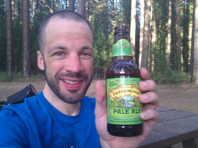
But at the final hamlet on the lake, Canyondam, a store! A beautiful dump of a store, with an old woman in an easy chair behind the counter, stacks of merchandise and other junk cluttering the aisles, dust covering half the food, and a random selection of worn, decades-old paperbacks for sale. I generally don’t care at all about expiration dates on food, but I was definitely checking here! The can of peaches, block of Tillamook cheese, and Sierra Nevada Pale Ale all looked good. The proprietor was even happy to let me fill my water bottles, provided I could navigate the even-more-treacherous path to the utility closet in the back room.
So I was all set, and 7 miles later, made it to the campground. “CLOSED FOR SEASON”. Crap. Oh, wait, I forgot, closed campgrounds are great! No charge, no crowds, but also, no toilets. Not a problem here since my morning business could be taken care of in the nearby town. I rolled around the taped entry and found a site as far off the road as I could. Oh, and there’s water, and it’s still on!
September 14th, 2012 at 12:34 pm
That looks like a man happy to have his beer! Bumpass Hell! (My tablet wants to make it bum pass ;)) They must’ve thought he was crazy too. Well… though now Yellow Stone doesn’t seem as special. Sigh. 🙁
September 15th, 2012 at 12:27 pm
Pretty neat looking park!