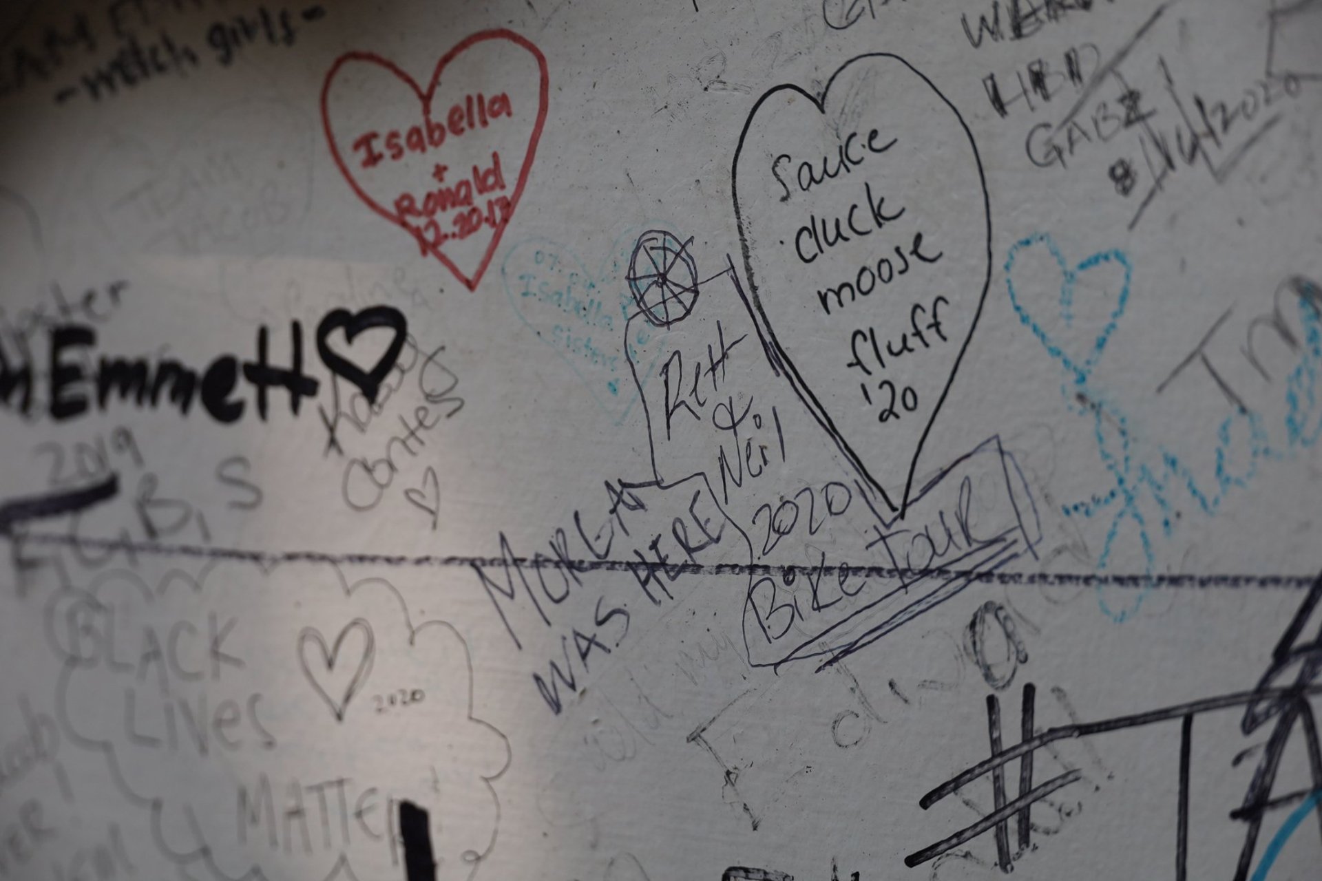
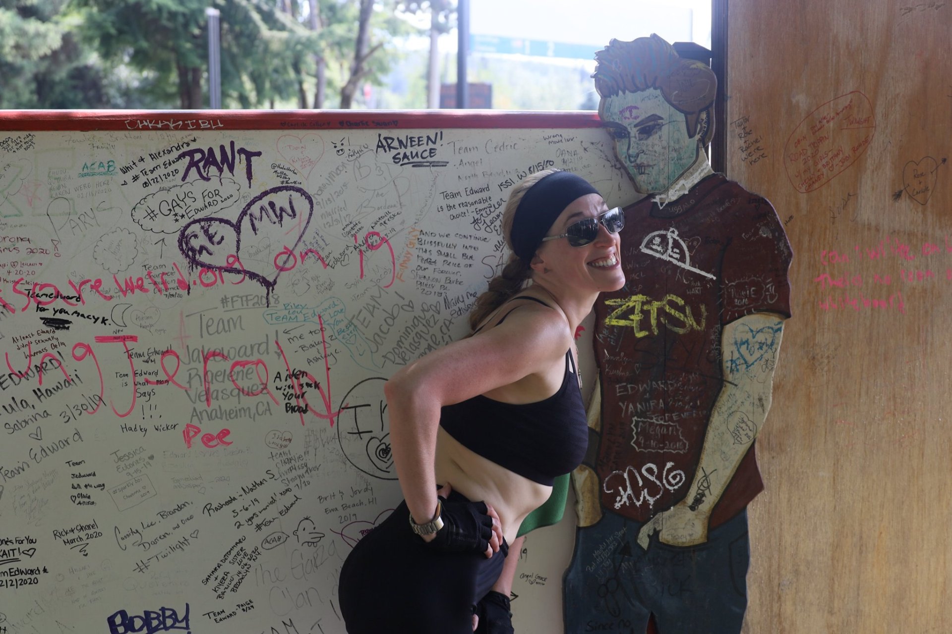
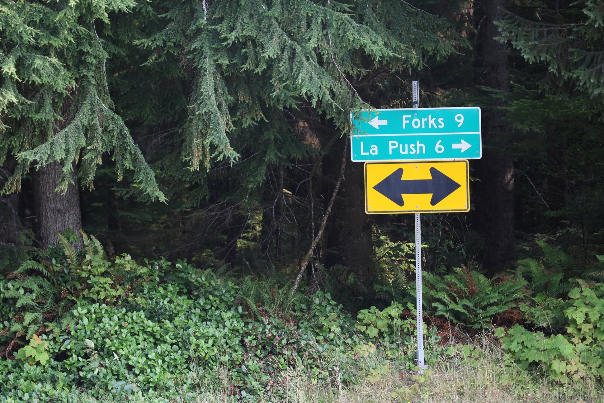
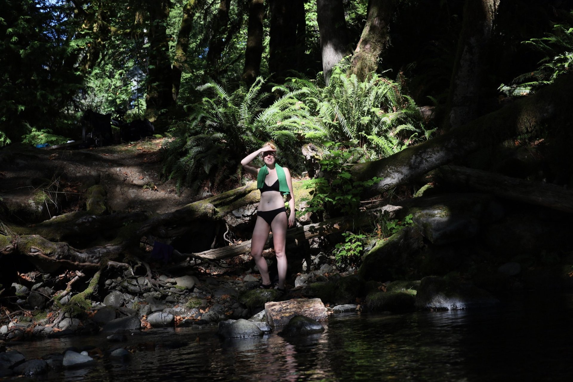
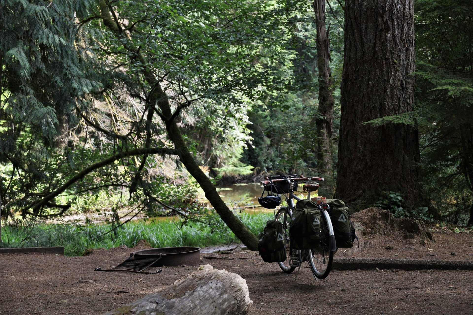
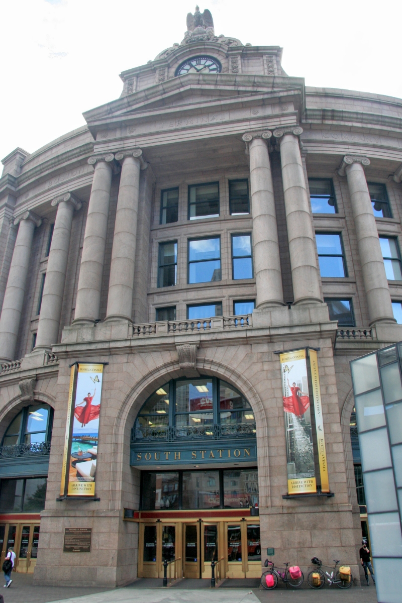
Day 9: Sequim, WA to Redmond, WA

September 8th, 2020

63.5 mi / 11.7 mph / 1784 ft. climbing

Trip Totals:
392.3 mi / 11.1 mph / 14274 ft. climbing

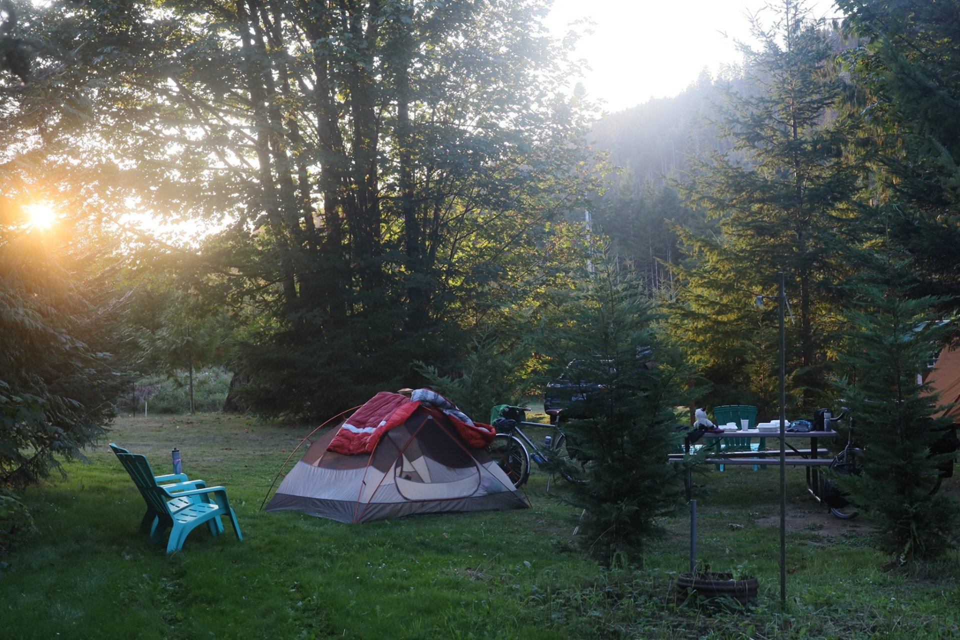
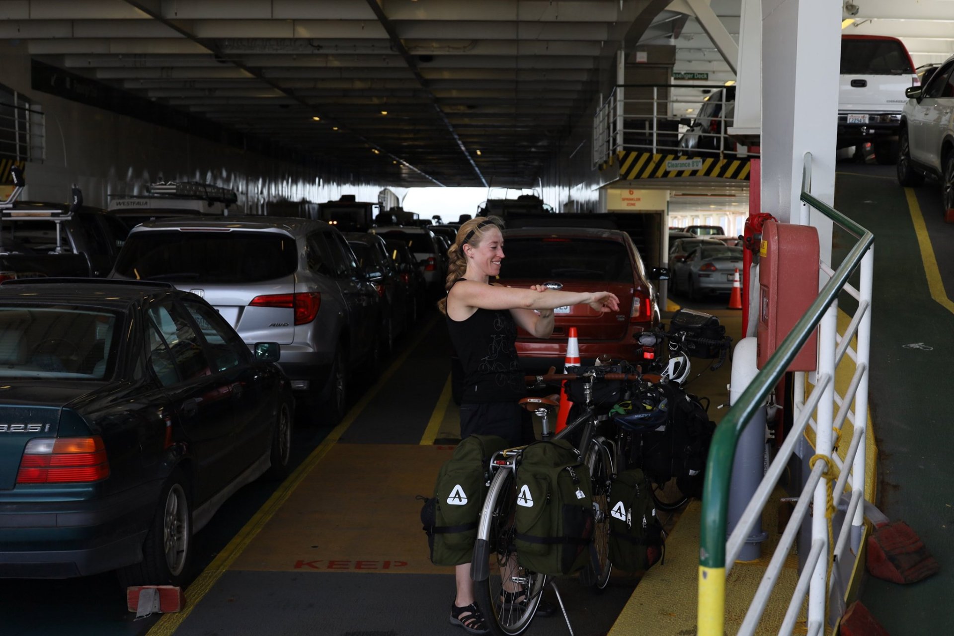
Our day to really head home. Up early in the pre-dawn to do our biggest mileage of the trip (plus a ferry crossing), our bike-touring neighbor who arrived in the dark was also packed up and gone before the light (or before anyone could ask him to pay the $12?)

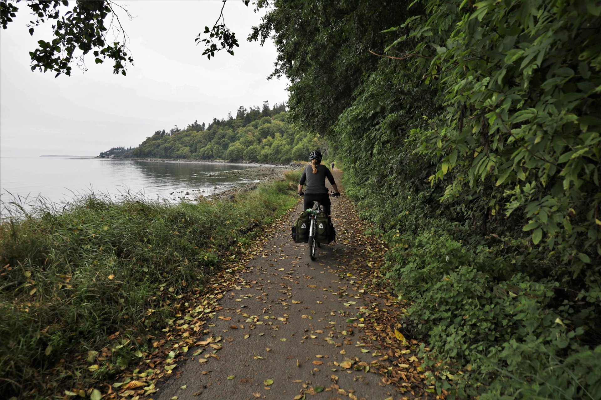
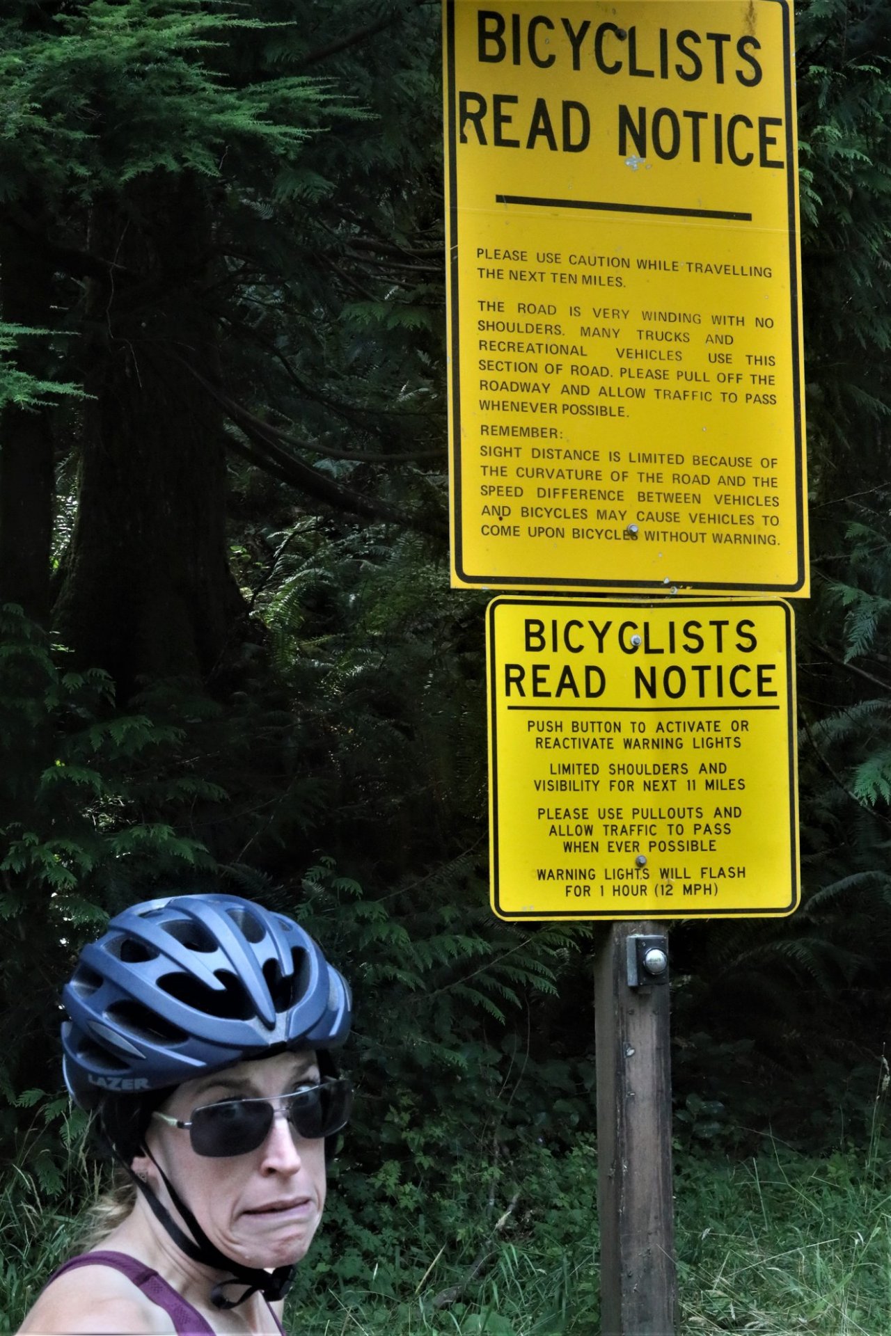
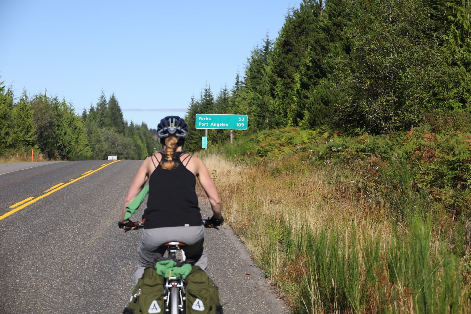
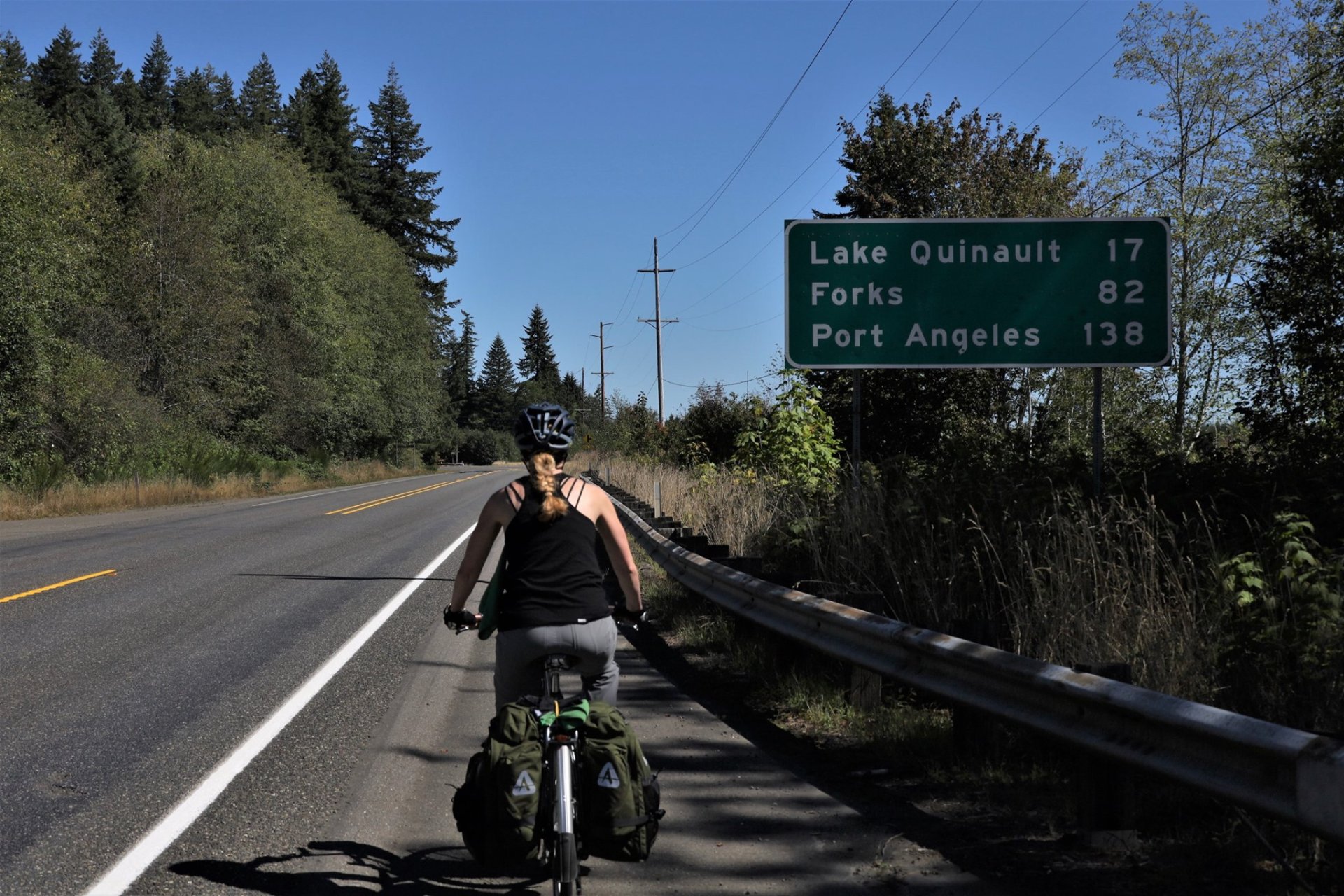
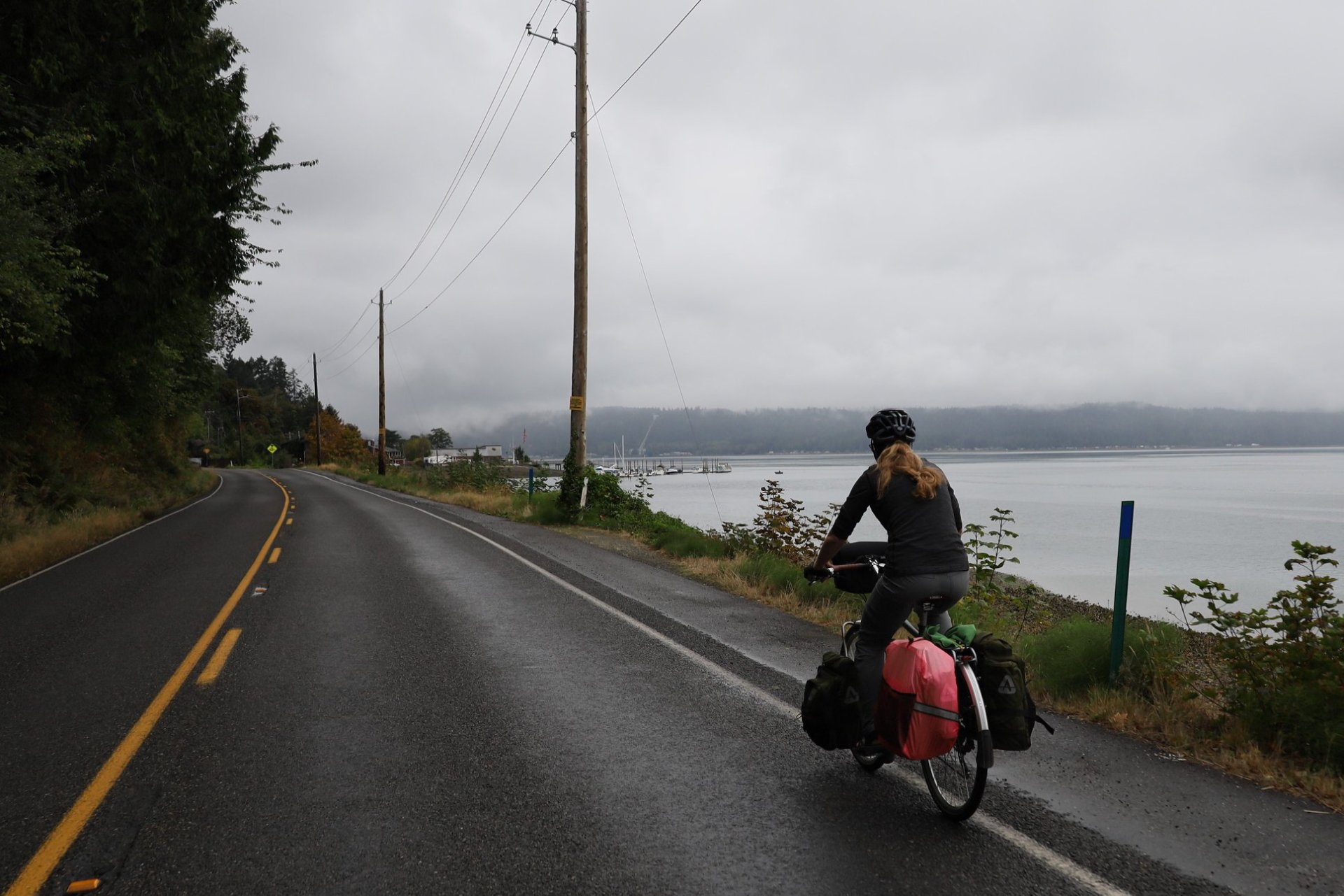
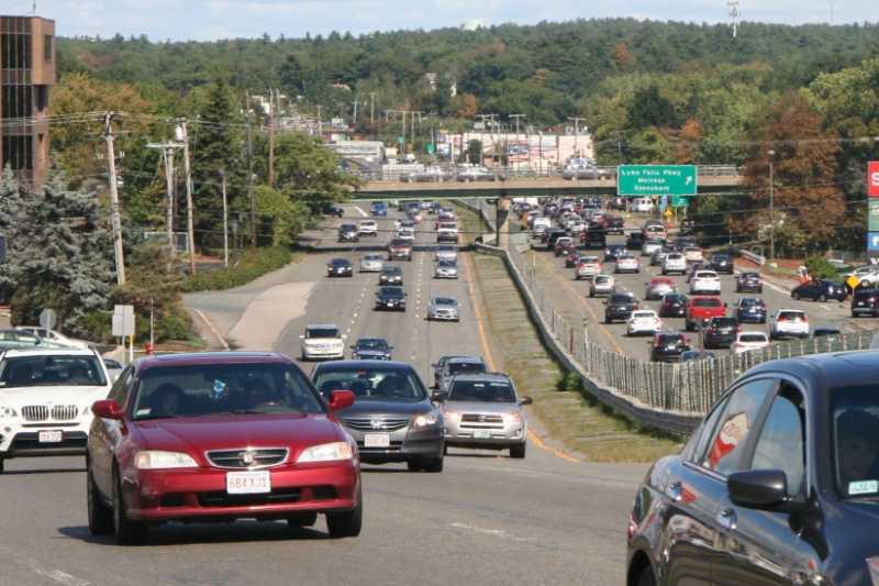
Some peaceful final riding on the Olympic Discovery Trail, and quiet roads, before we hit the US/state highways for most of the ride home. The vehicles roaring by us formed an unending stream, and literally every 3rd or 4th vehicle was an RV of some sort; it seemed that the entire Olympic Peninsula was being drained of RVs, flowing back across Puget Sound at the close of Labor Day weekend. At least the shoulders were huge so the noise was the only annoyance.

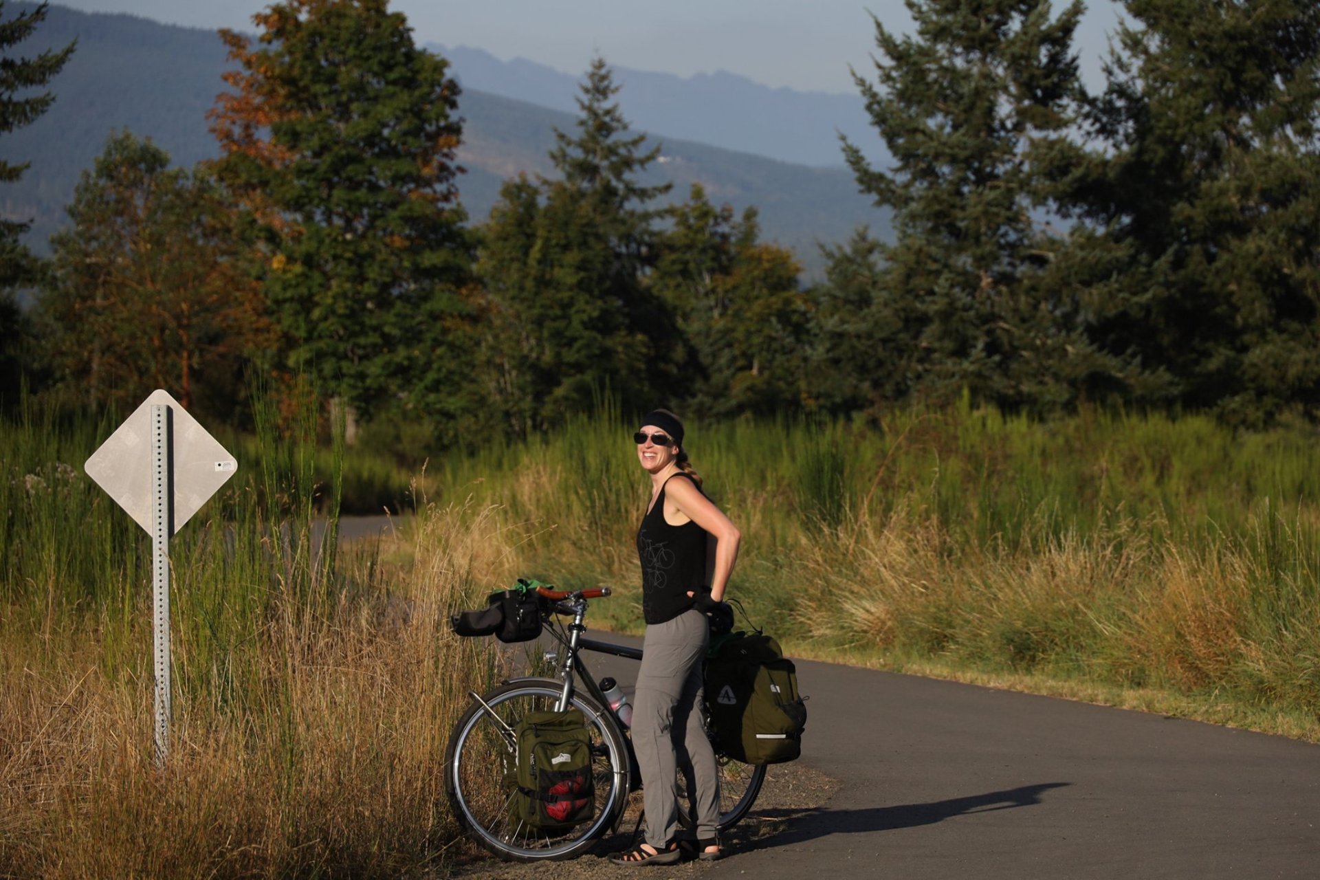
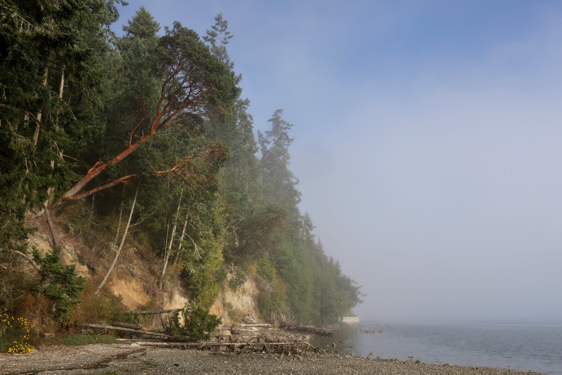
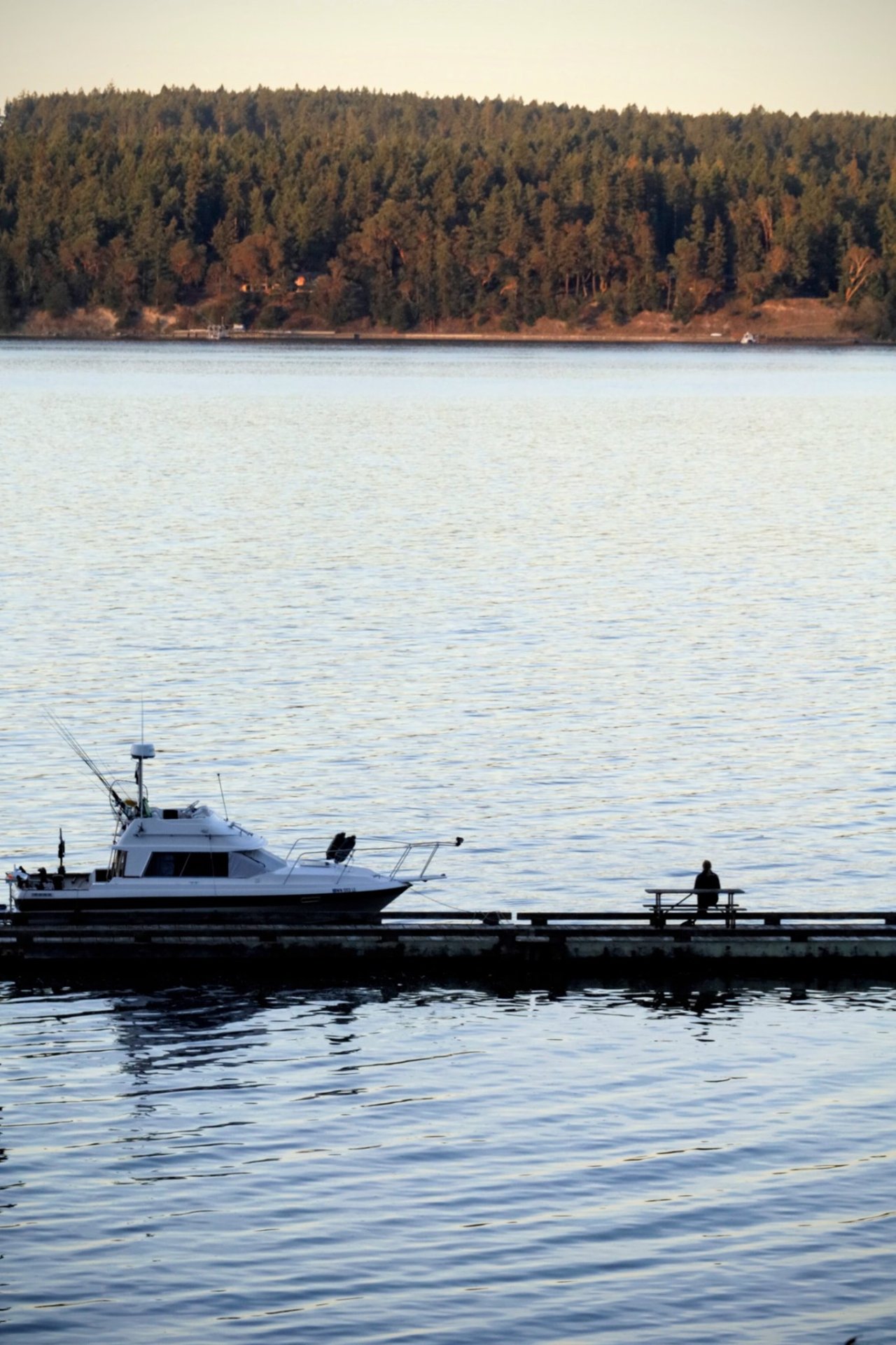
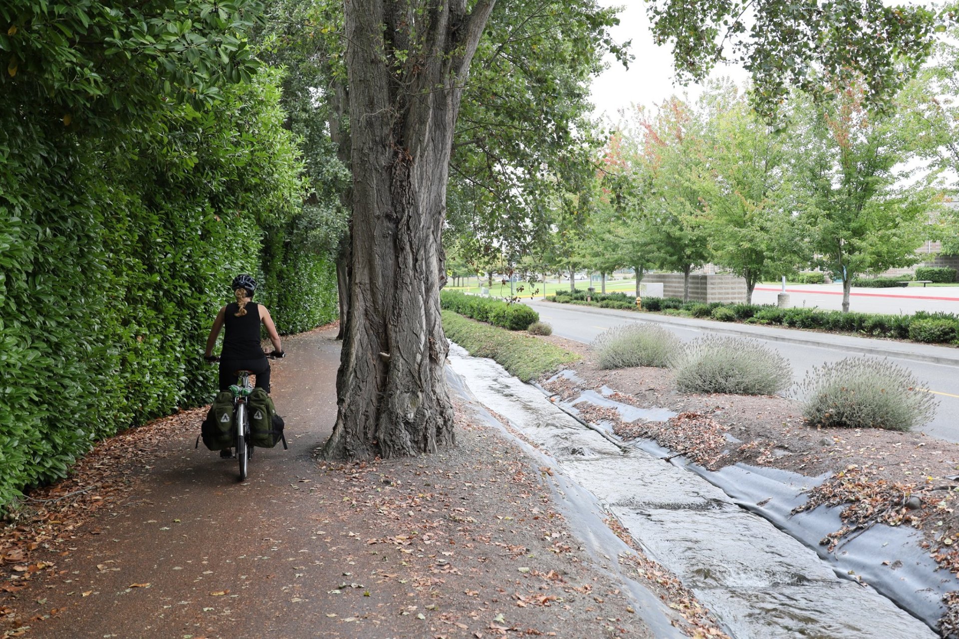
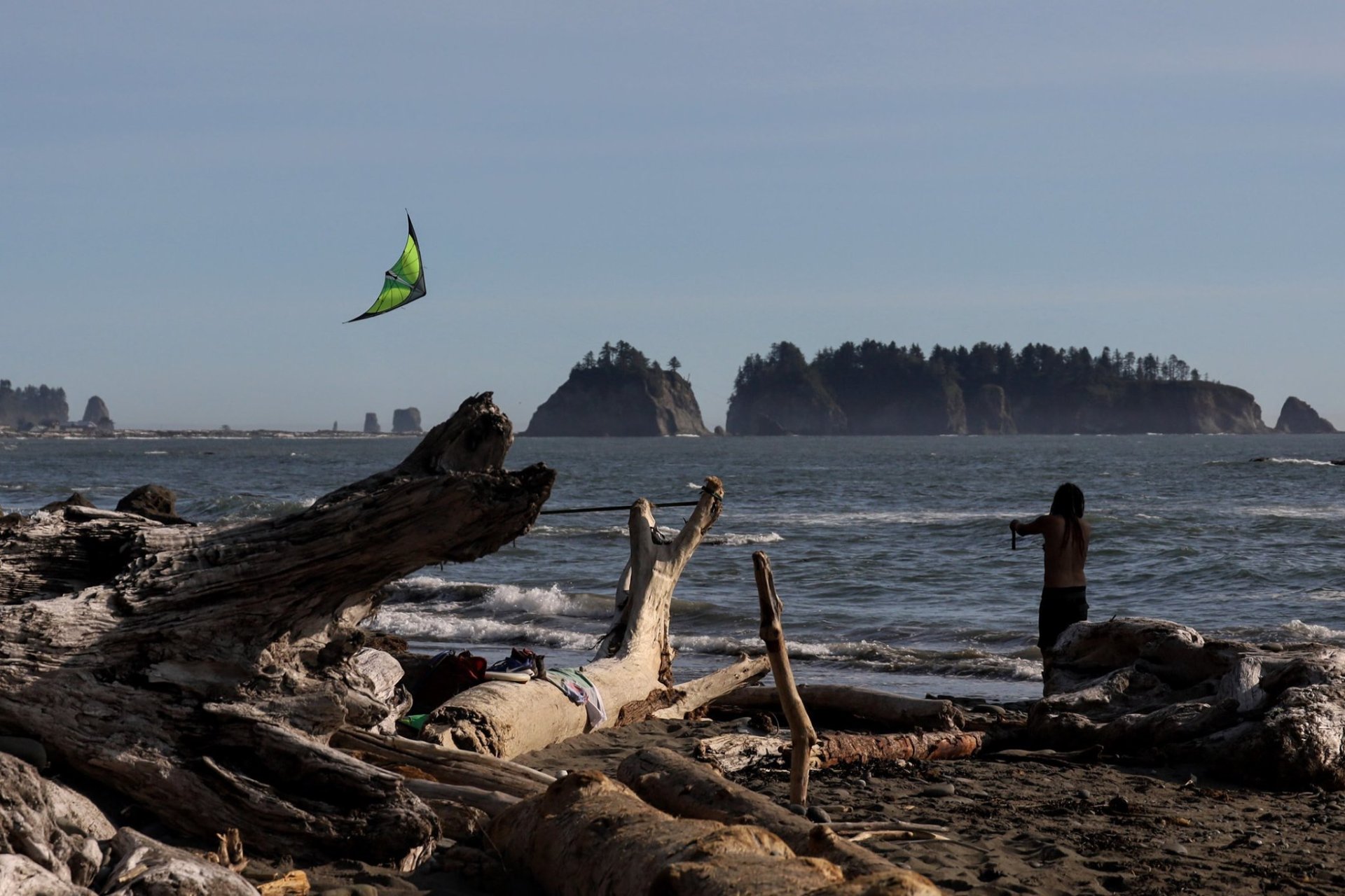
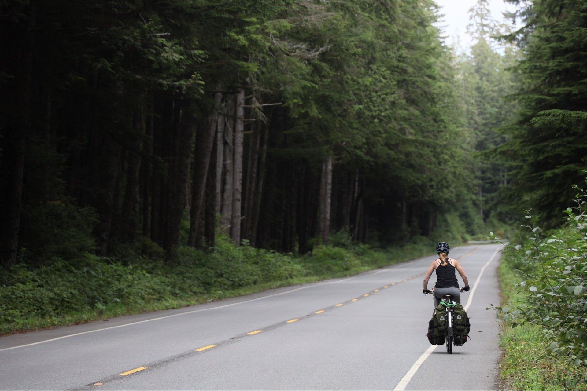
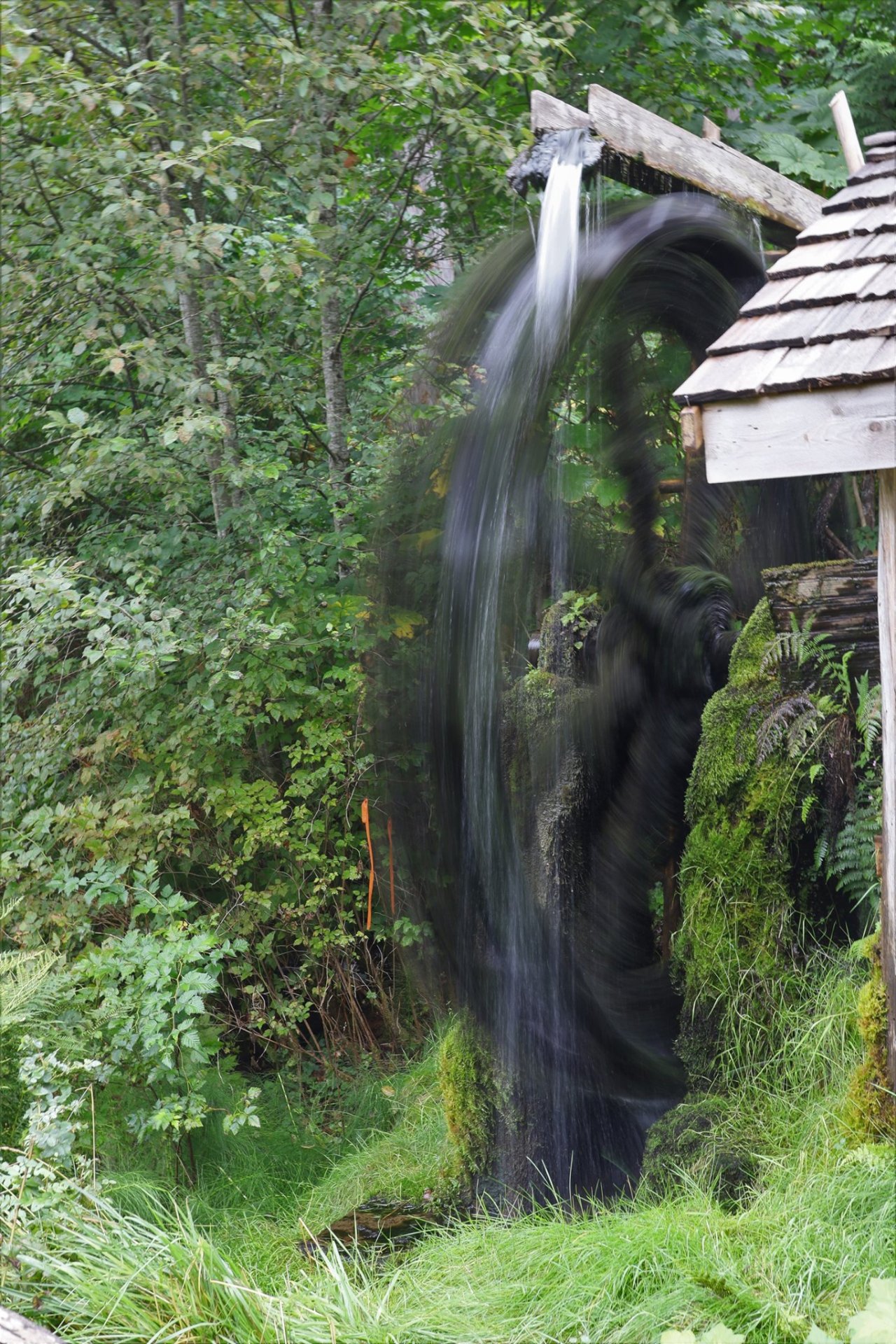
On the Olympic Discovery Trail

Some 15 miles out from the Kingston ferry, we checked the schedule, and decided to target the 1:30pm departure. The 12:45pm might be possible if we pushed it, or held off on lunch ‘til then, but we didn’t feel any need to wreck ourselves, especially since we had plenty of riding to do after.

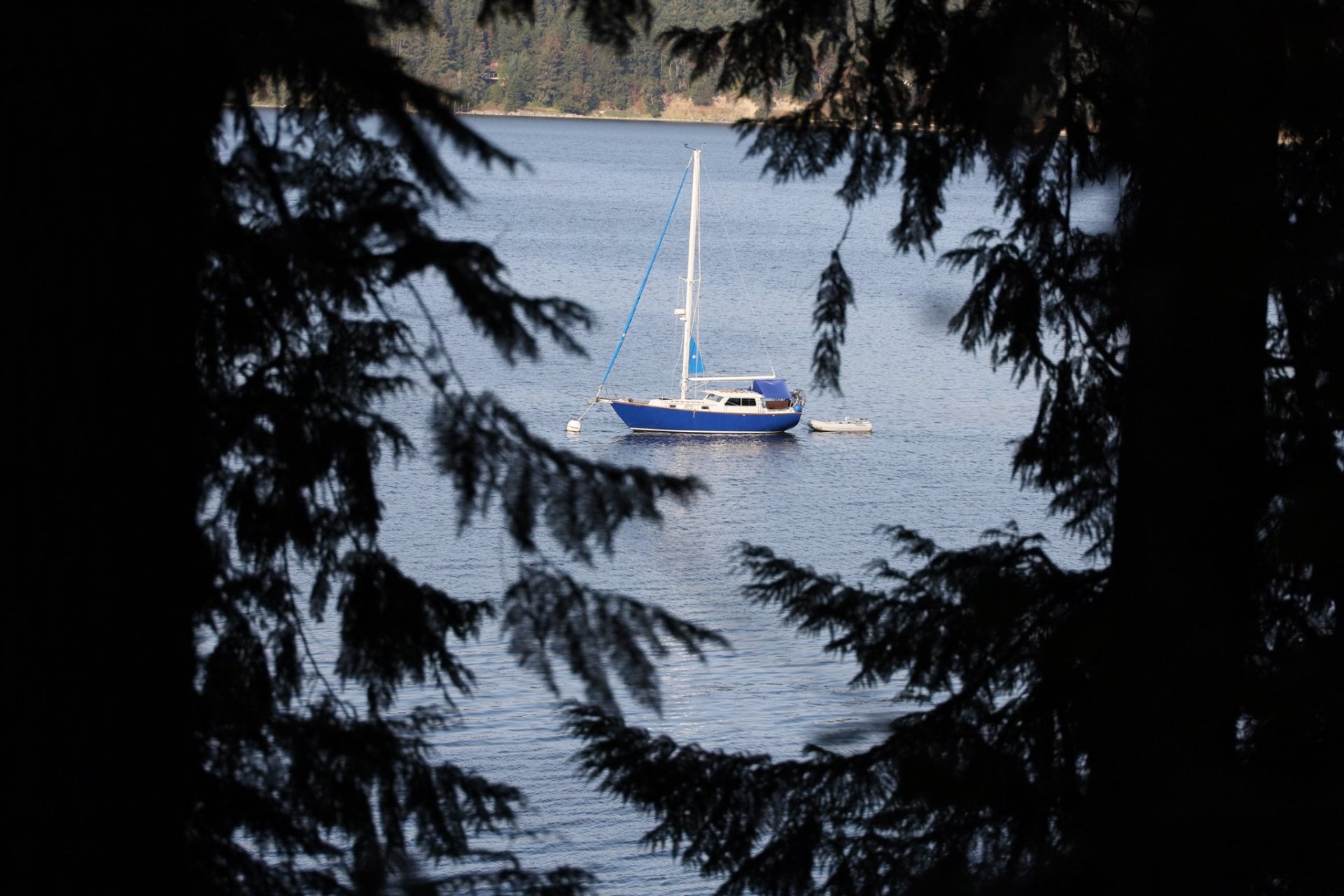
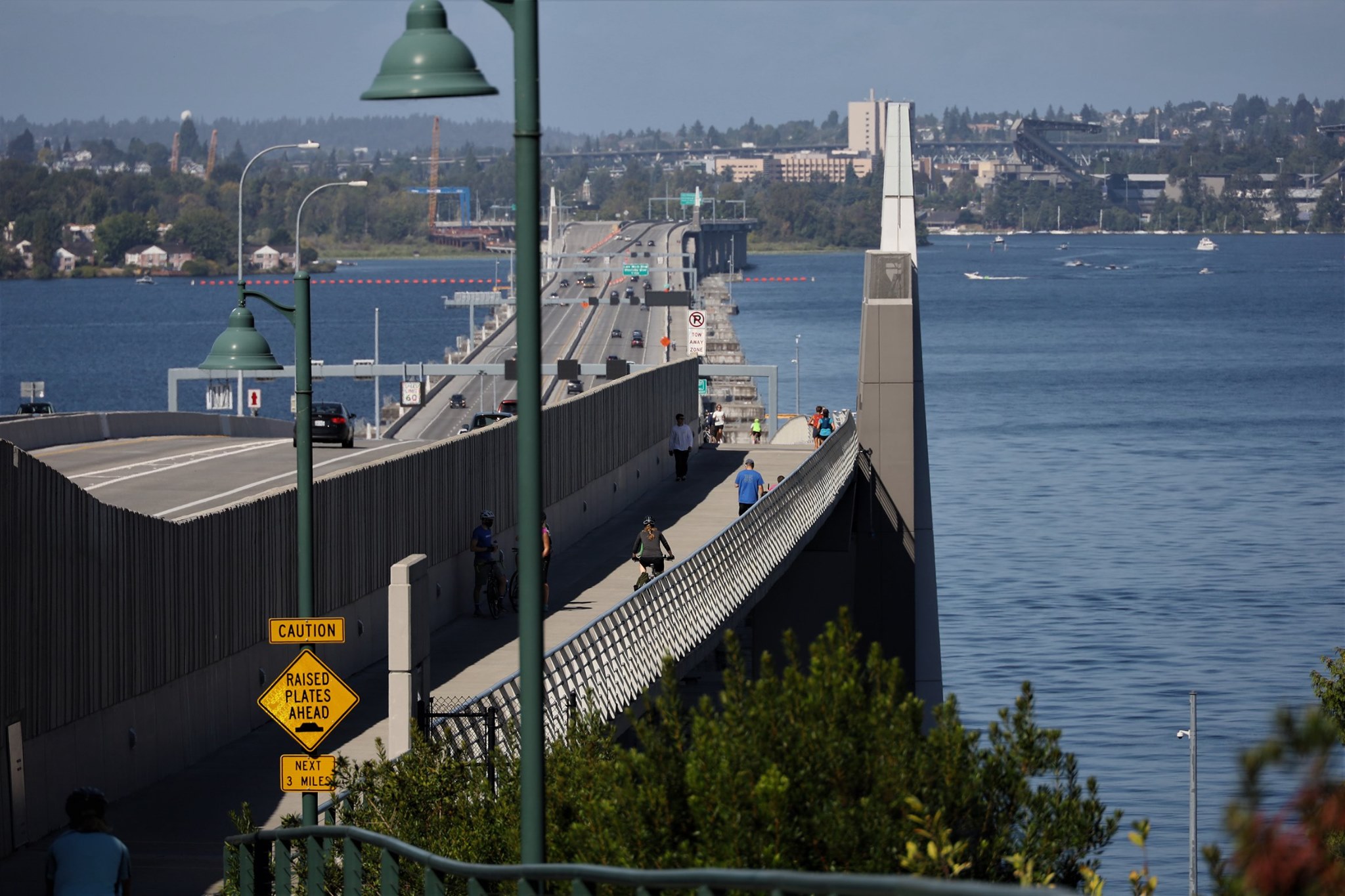
Just as we got onto the Hood Canal bridge, the lights started flashing, indicating that it would be opening up to allow boats through. Ok, we’re definitely not making that 12:45pm now! This was our third time over the bridge since we’ve lived in Washington, and the second time we’ve been stopped. The first time must have been a submarine from the Navy base, but our car was stopped so far back in the line that we couldn’t even see the bridge. This time it was just a couple of dinky sailboats. It takes a long time to open and close the bridge, so it seems silly that any approaching boat causes the bridge to open, but those are apparently the rules of the sea! At least it was much quicker than when the sub went through, maybe 15 minutes, but I almost wished it was a sub since passing all the stopped cars on the shoulder let us get a front-row vantage point this time!

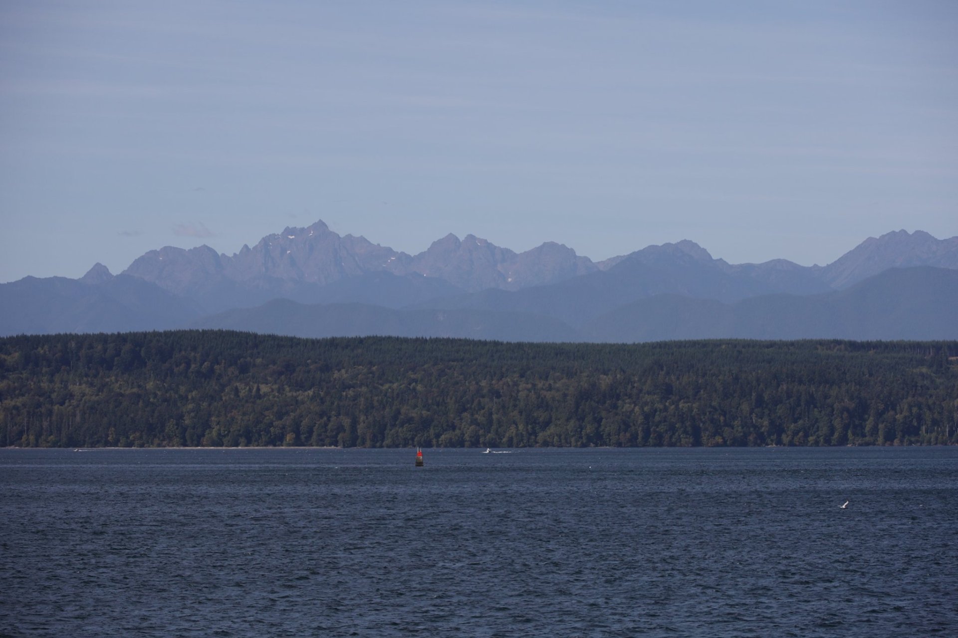
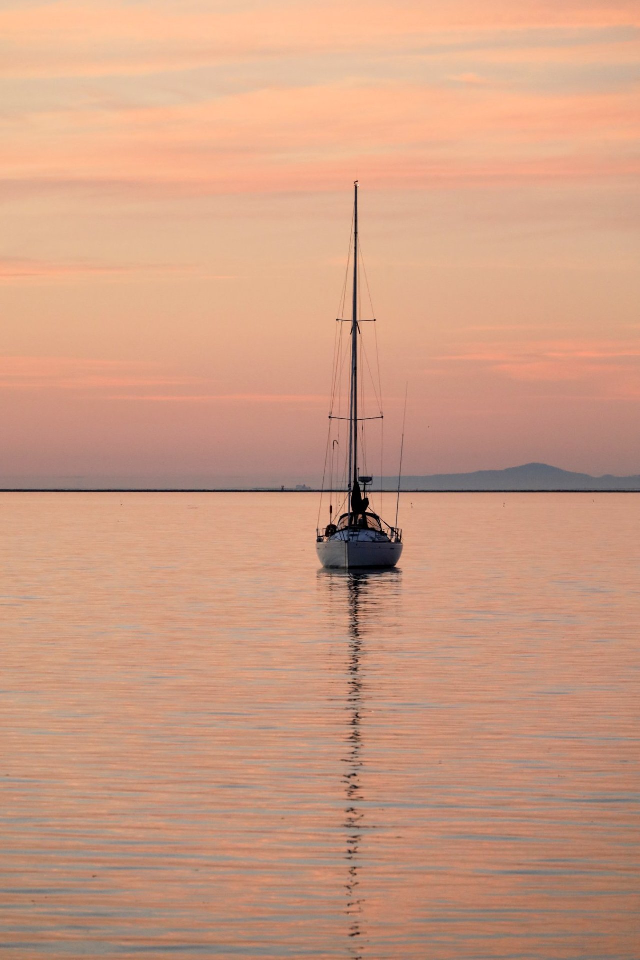
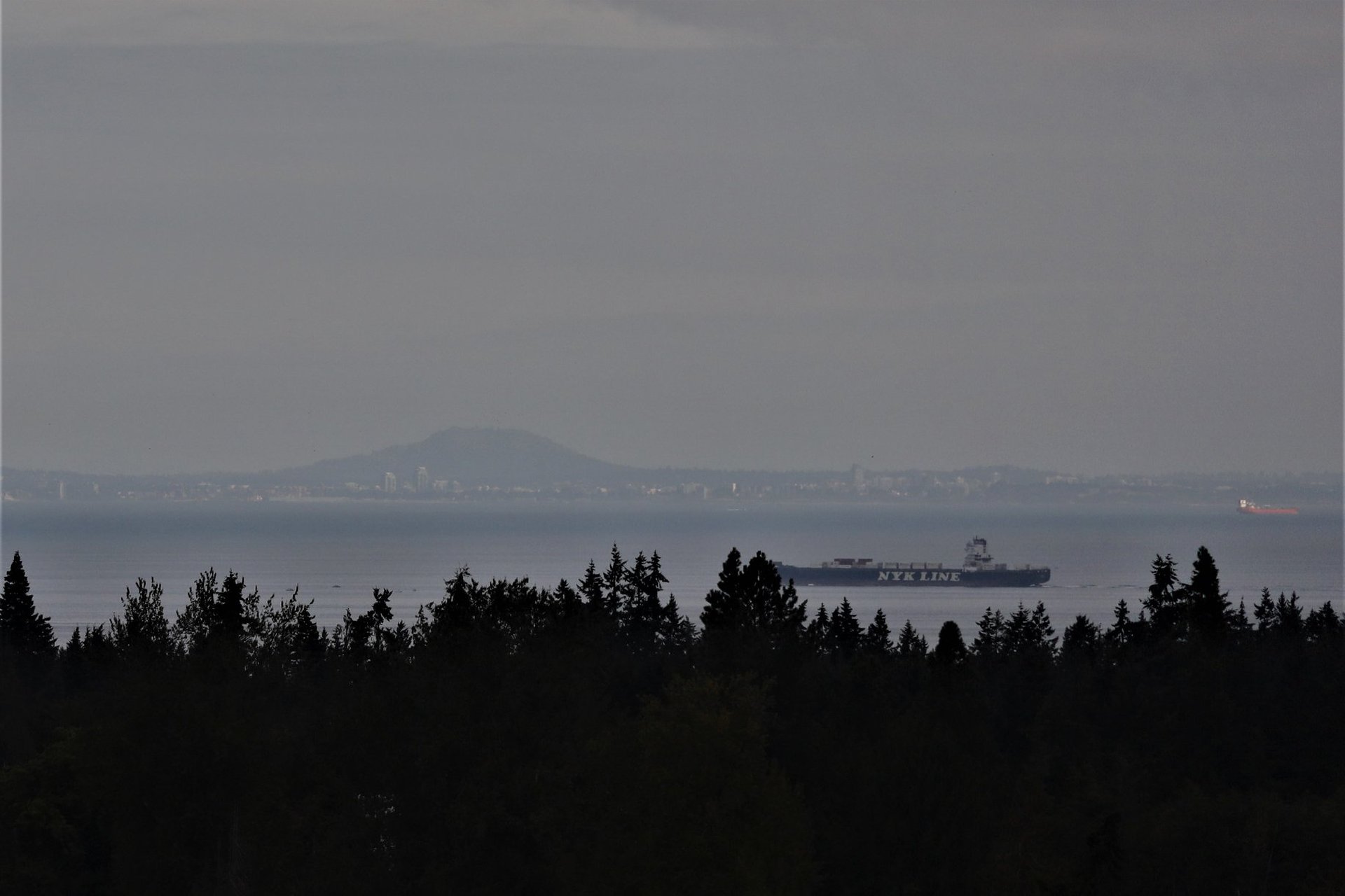
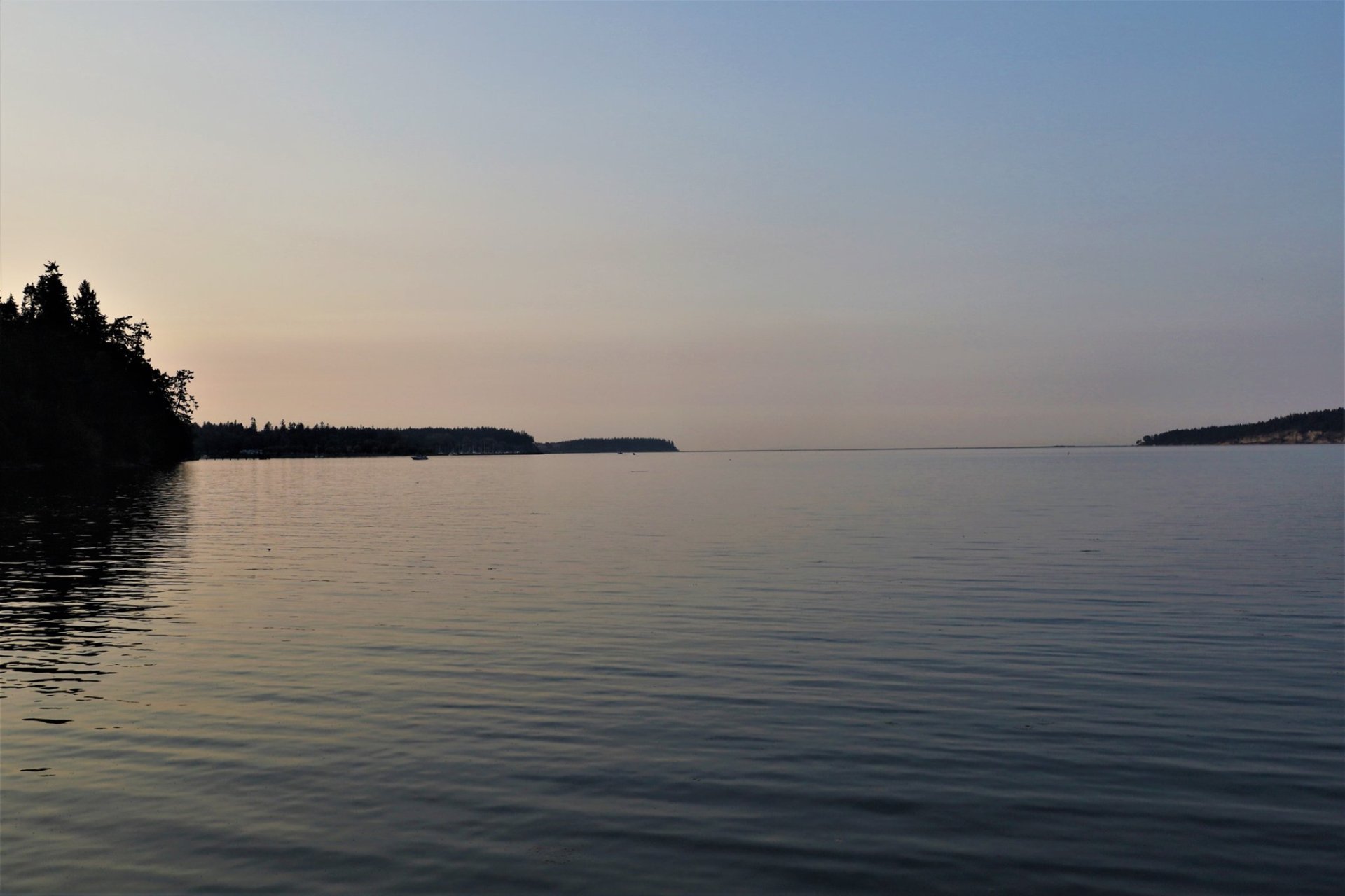
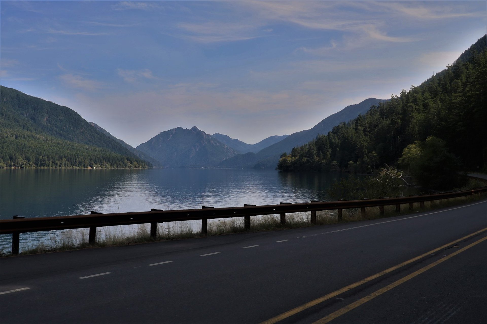
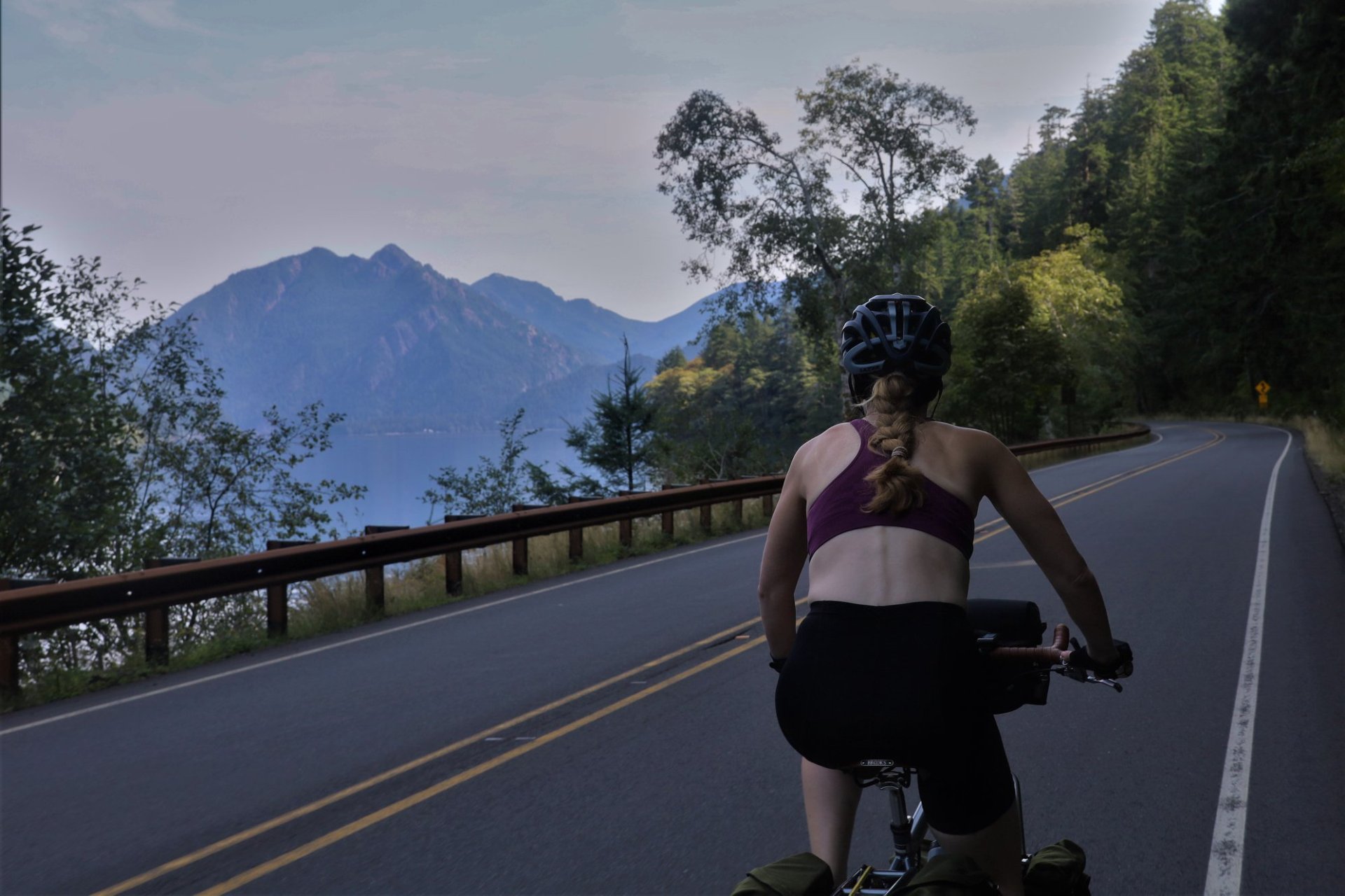
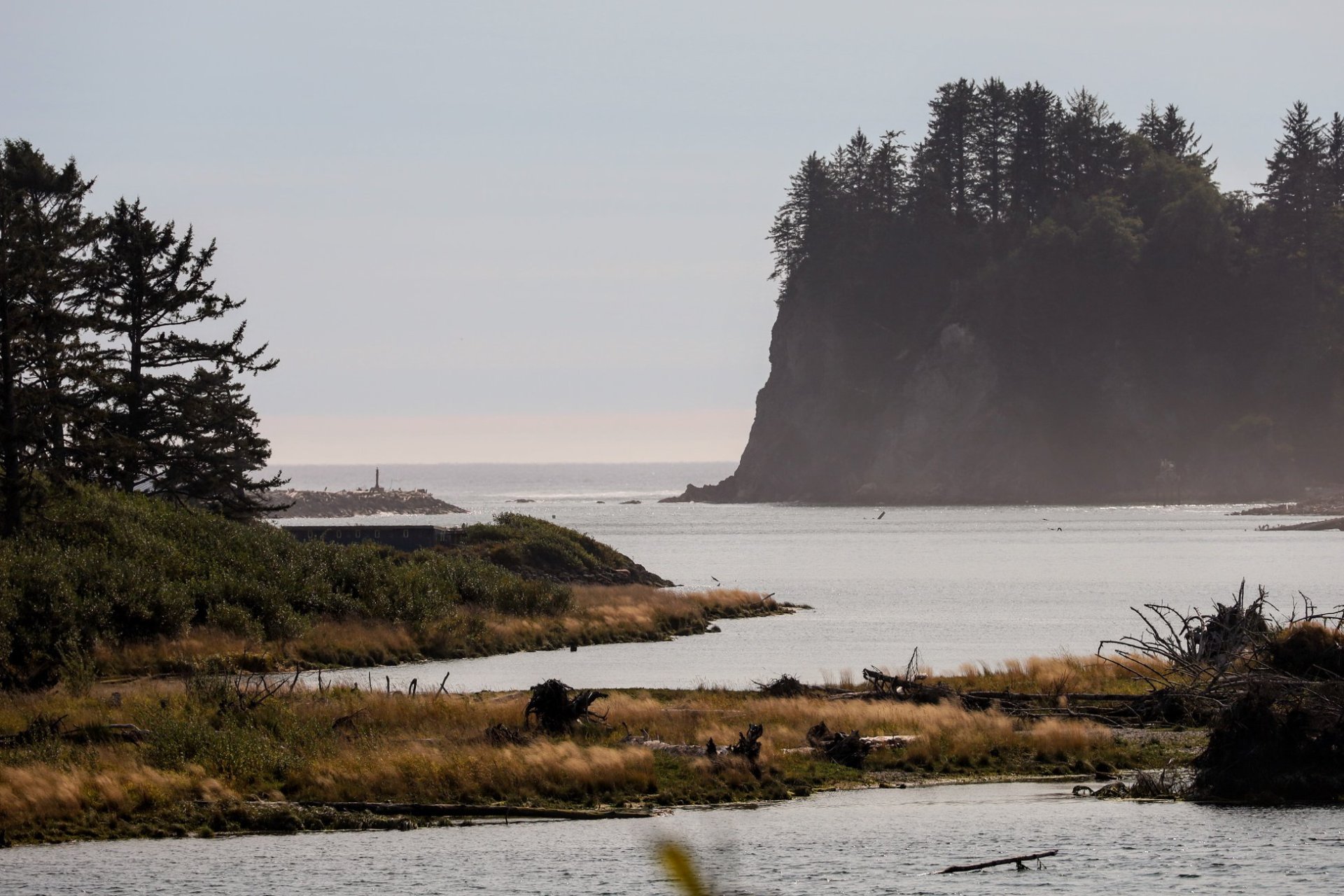
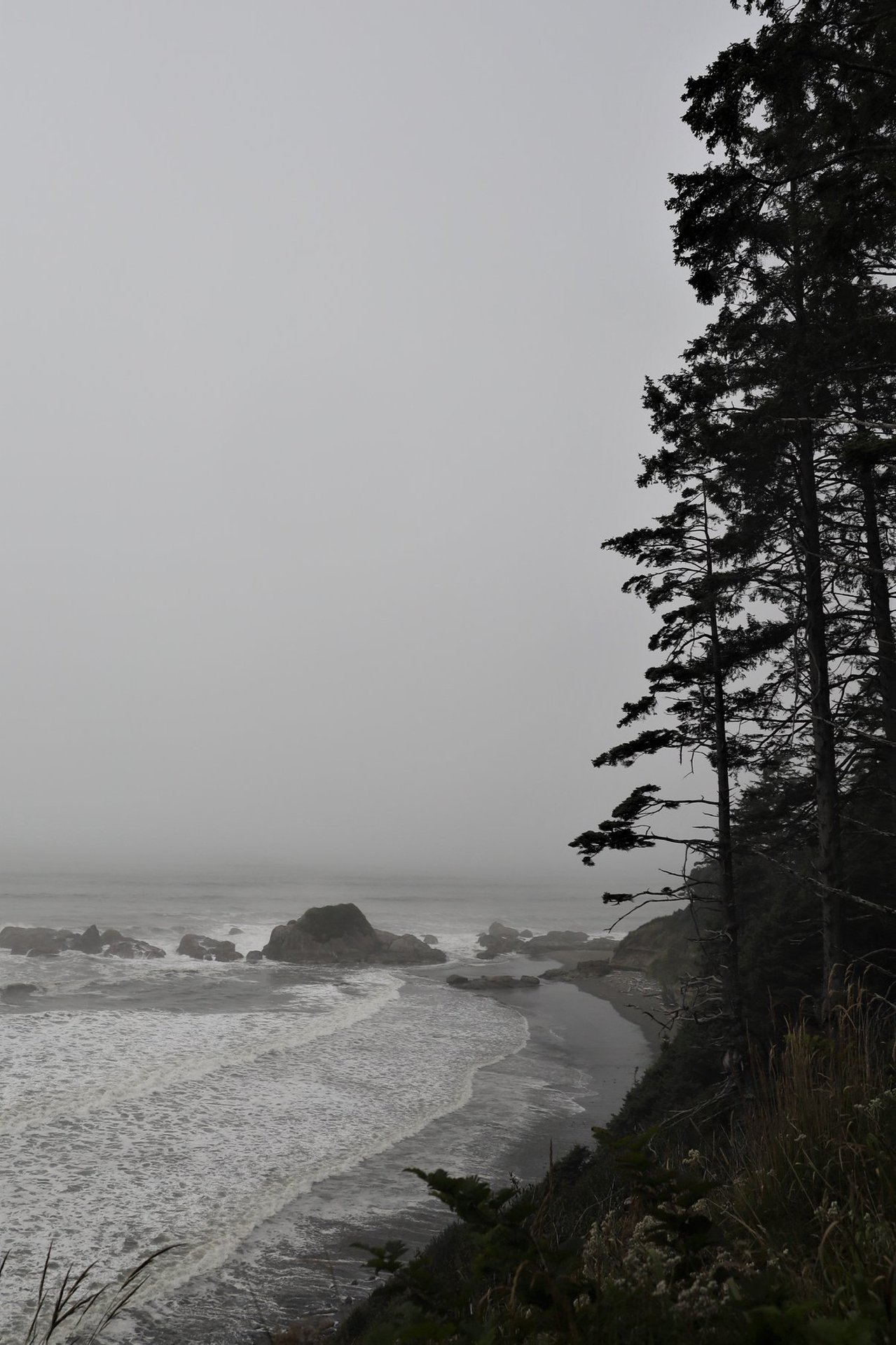
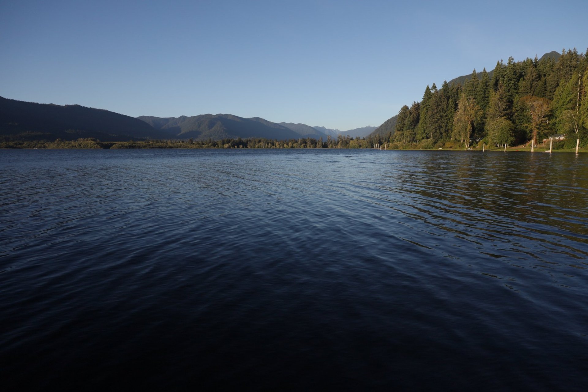
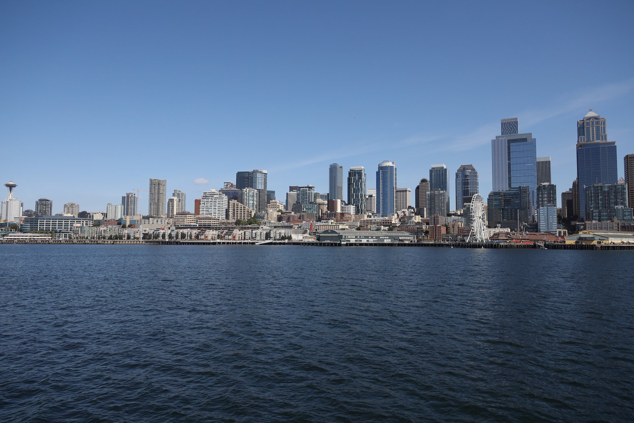
Our best (or only!) view of the mountains we’d been circling for the entire ride comes only as we leave them!

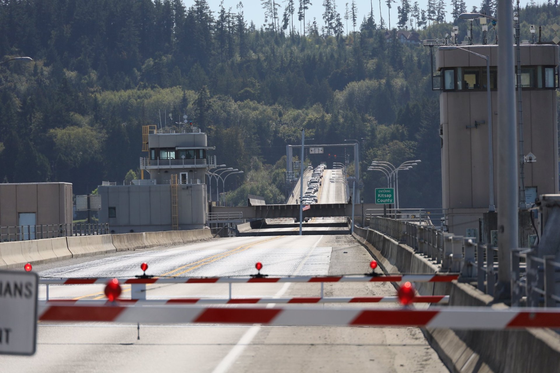
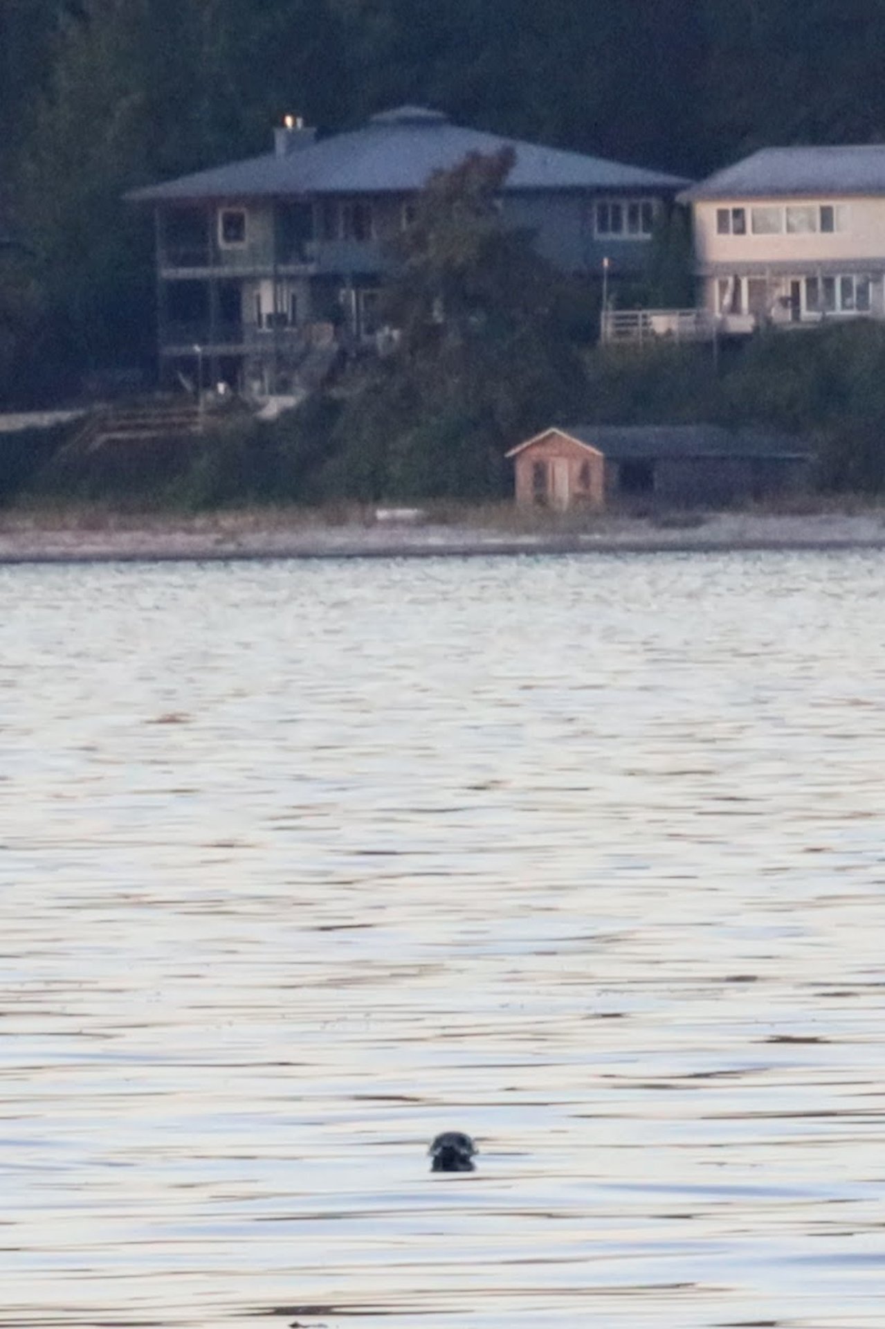
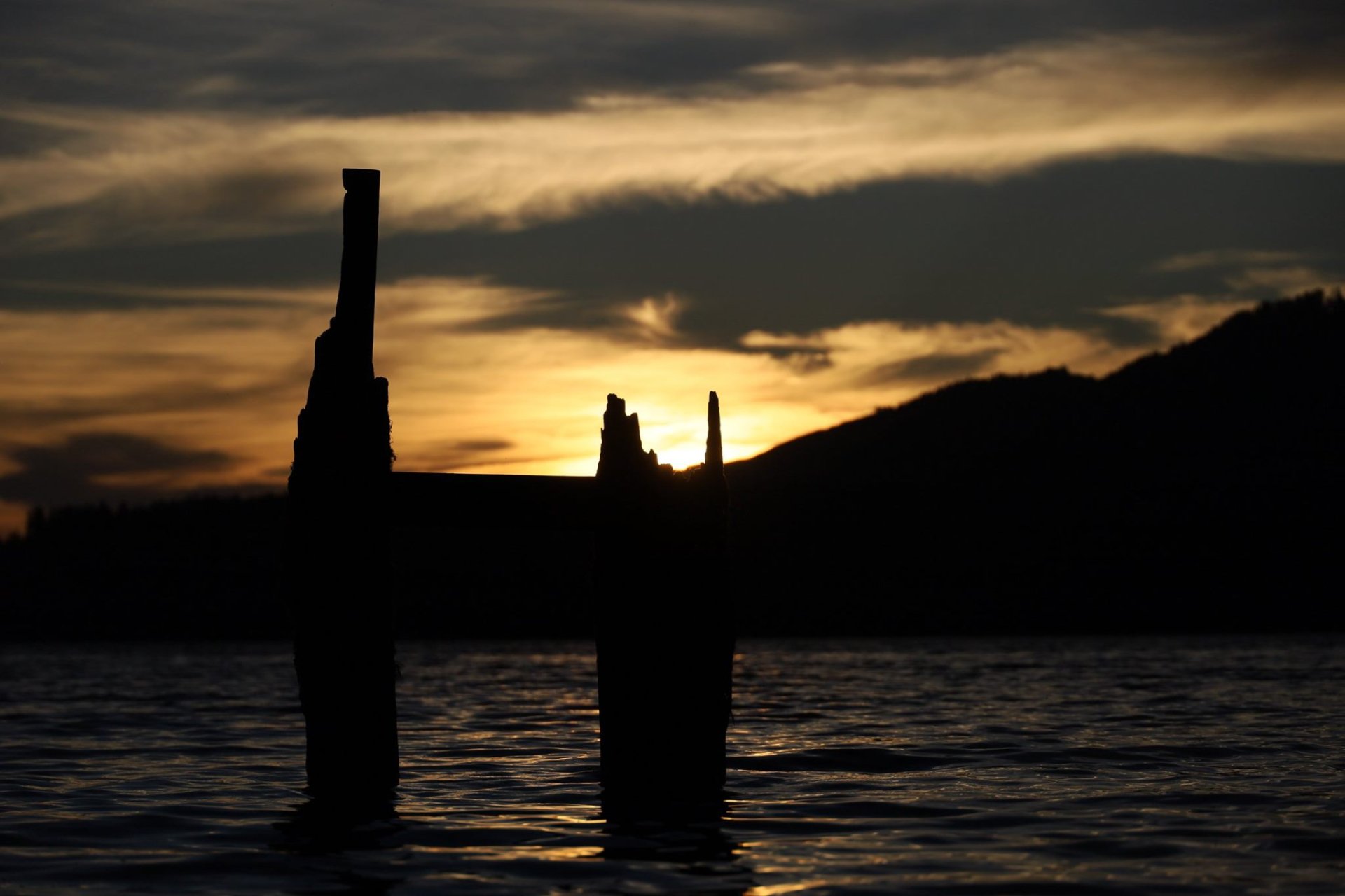
Hood Canal bridge. The little American Flag at the center of the image is attached to the mast of a sailboat passing through the gap that opened up in the bridge.

We stopped to eat lunch in a field in quaint historic Port Gamble, and when we set out again, it looked like we’d definitely have no problem making the 1:30pm ferry. Then I thought, hey, if the 12:45pm ferry is late, maybe there’d be an outside chance of us following the last cars on before it departs. Checking my phone as we rode (safety first!) it looked like it was on-time. Oh well.

Since we’d taken this ferry on our bikes before, we knew right where to go this time, and, whoa, is that the boat still at the dock? It looked like the last cars were in fact still being loaded onto the 12:45! As we rolled up trying to assess the situation, Rett saw the worker directing cars glance over at us and yell “bikes – GO!”, so, we went! Scrambled aboard just as the rope was being drawn behind us, and moments later we were underway! Yeah!! Objectively, it was a fairly stupid inconsequential thing, but to us it *felt* awesome that despite setbacks, and without even trying, we beat our goal! Also it was simply invigorating to feel that movie-scene leaping-across-the-gap-rush to catch the departing boat!

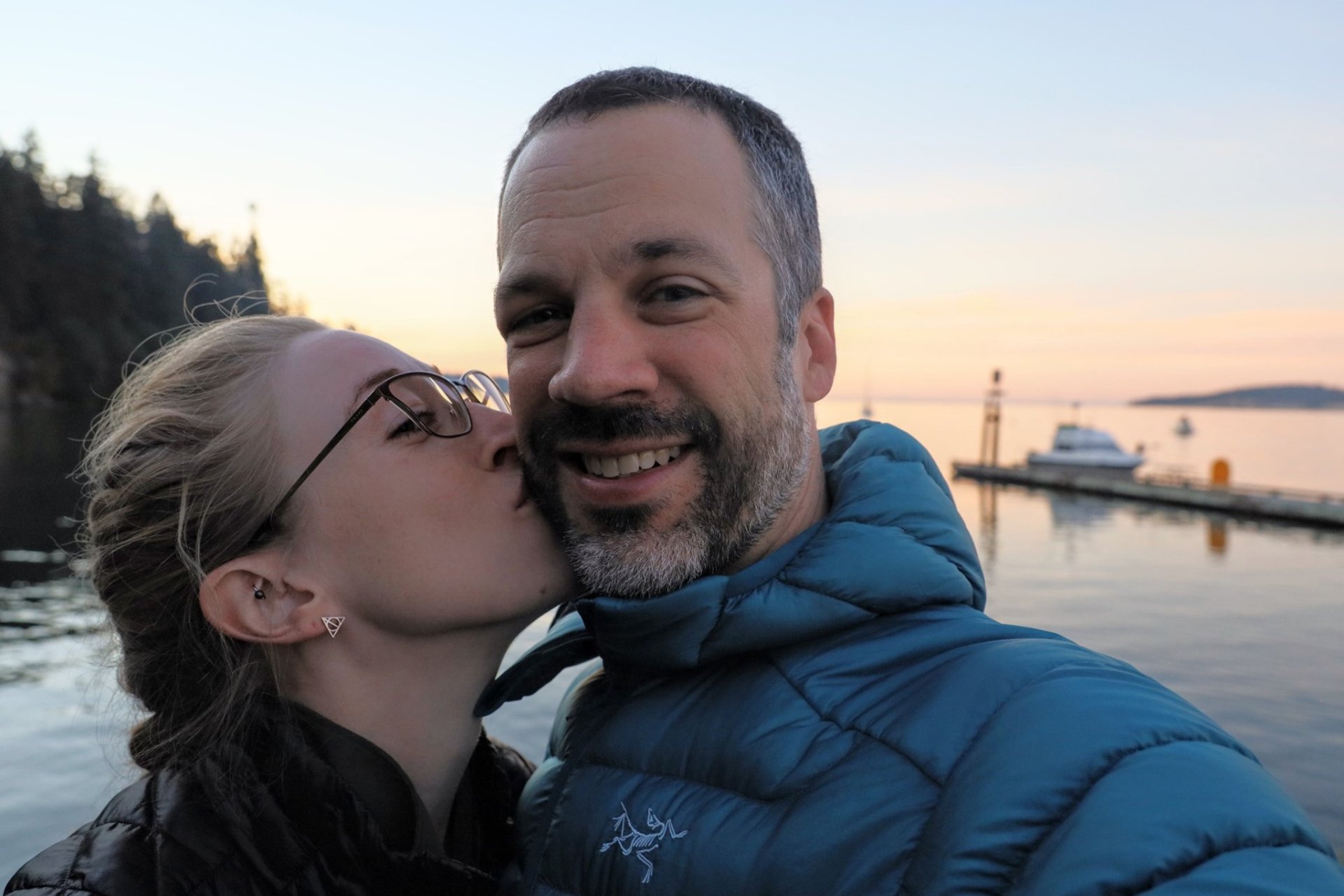
Well-deserved satisfaction after scrambling aboard the ferry at the last-possible second!

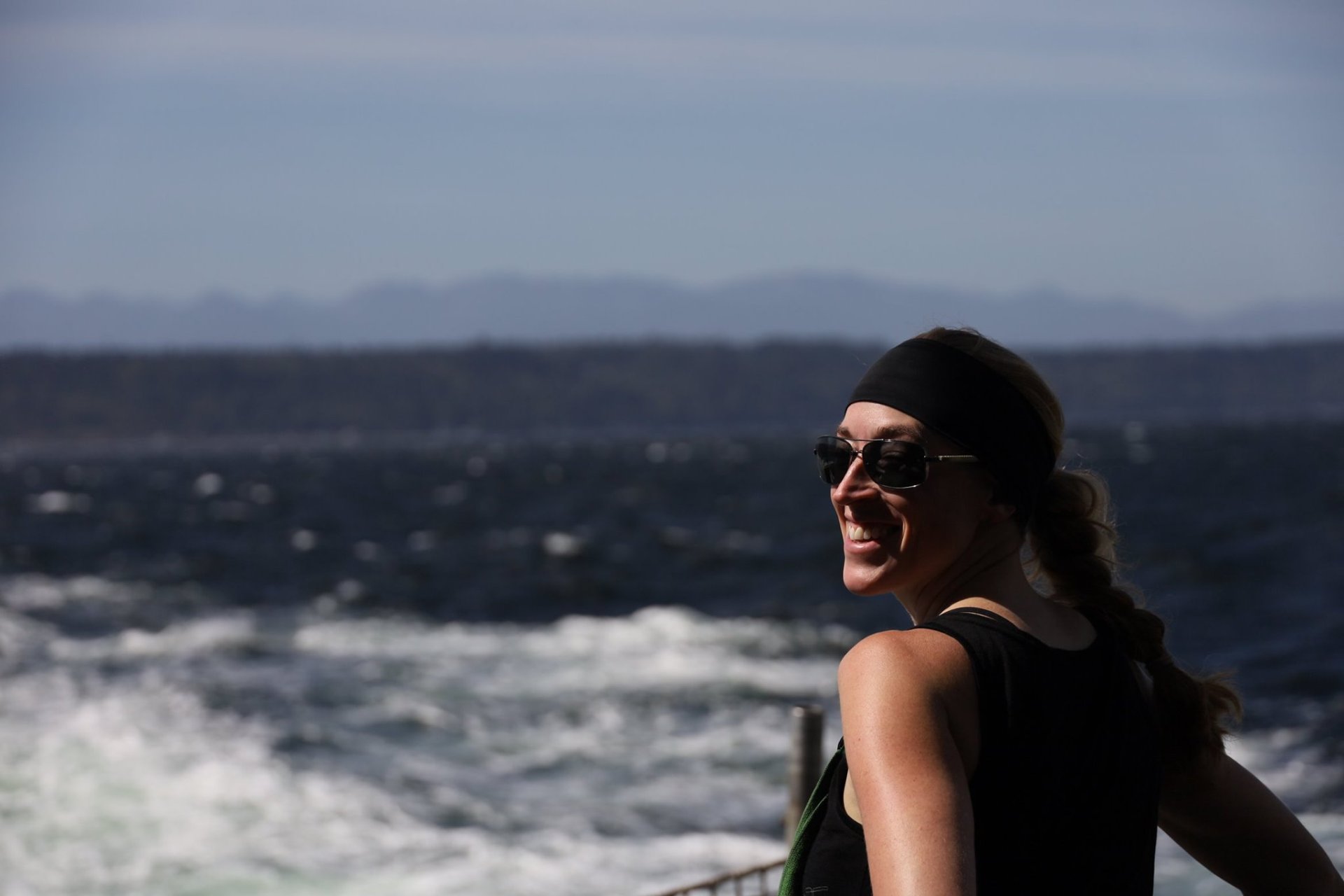
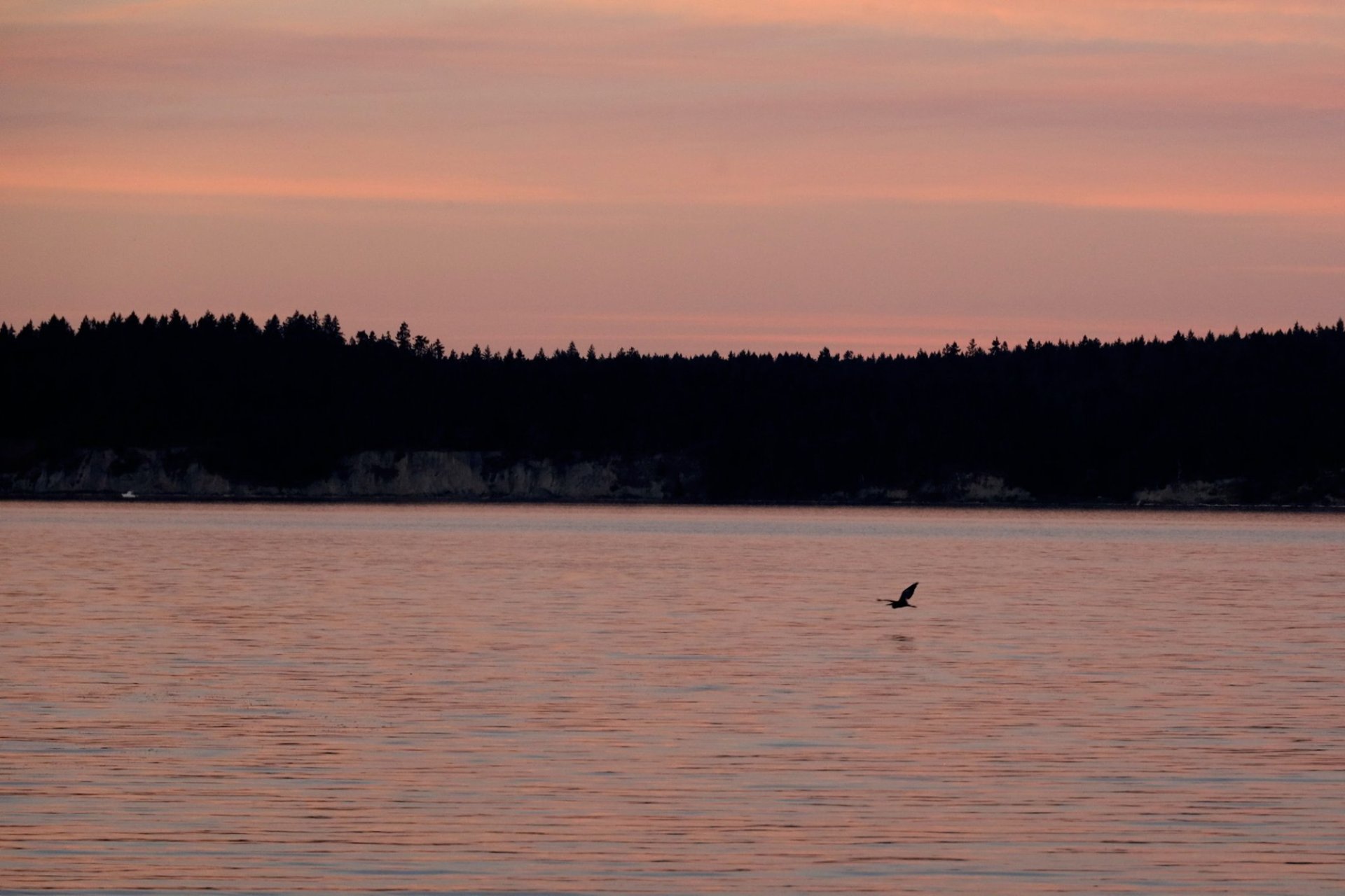
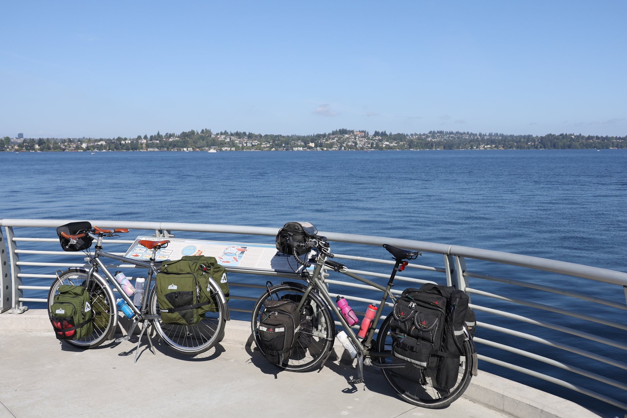
Ferrying across Puget Sound looking back at the Olympics. Just hours later the California/Oregon wildfire smoke would come rushing in, shutting us inside for ~2 weeks. Perfect timing!

Back on the “mainland”, we still had a big hill to go up and down before reaching home, but it was much easier than the first time we’d done it, so a pleasing indicator spending a week riding bikes makes us stronger bike riders and not exhausted bike riders. Our longest day was also the perfect day to catch our most-consistent tailwinds of the trip.

We stopped at our favorite Cairn Brewing, 11 miles from home, for some celebratory beers and for some cans to take home, as we do every couple weeks. I realized then that while my first couple bike tours had started and ended at my front door (a maxim endorsed by Ken Kifer, one of my bike-touring inspirations), none of my subsequent ones had, which means Rett had never done a door-to-door. So it was empowering to imagine our neighbors, who may have seen us rolling out 9 days ago, and upon seeing our return, might briefly think “Have they been gone this whole time?” before realizing “nah, that’s crazy, because no one goes out of a bike ride that lasts 9 days!” But, we did!

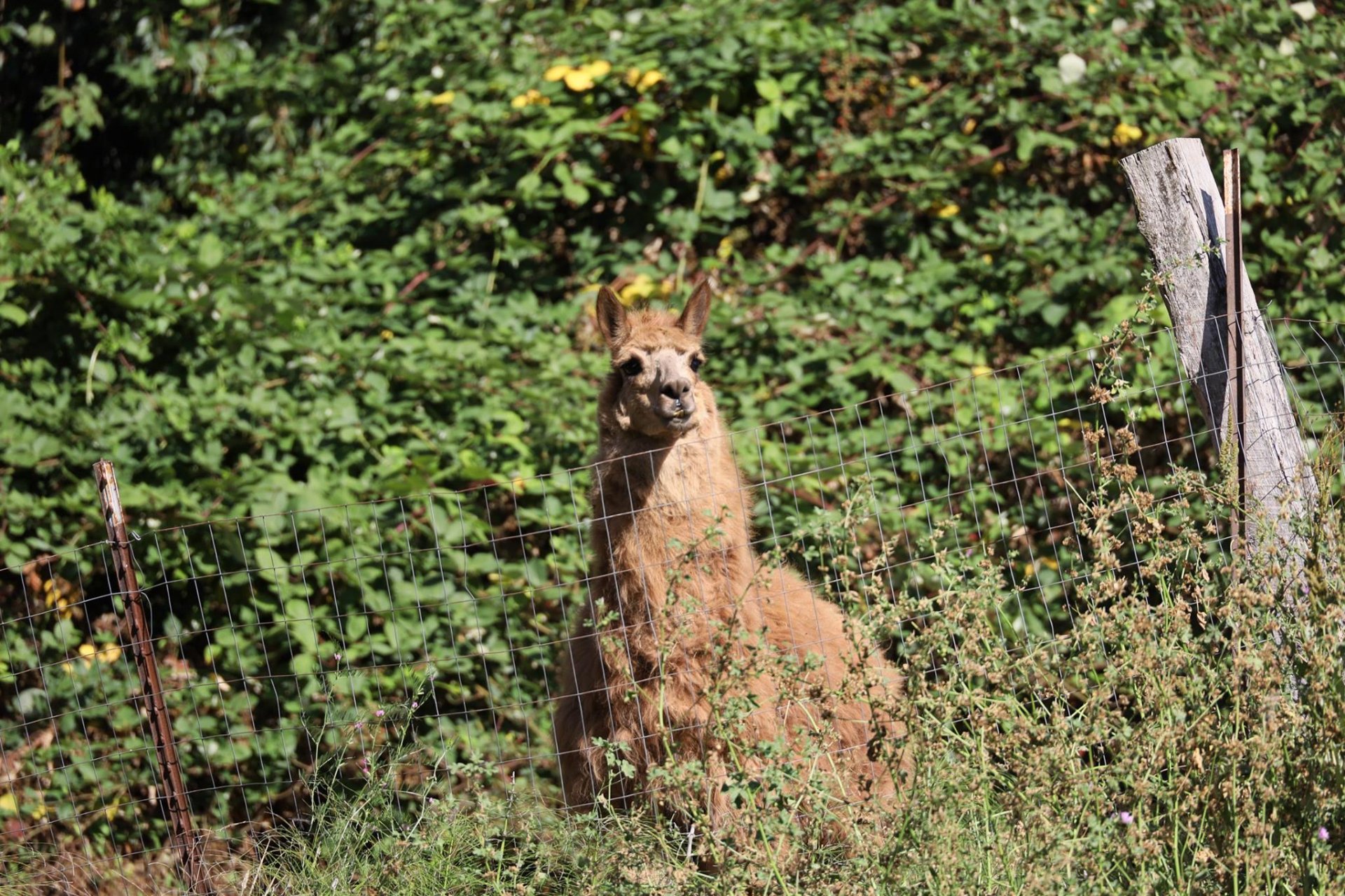
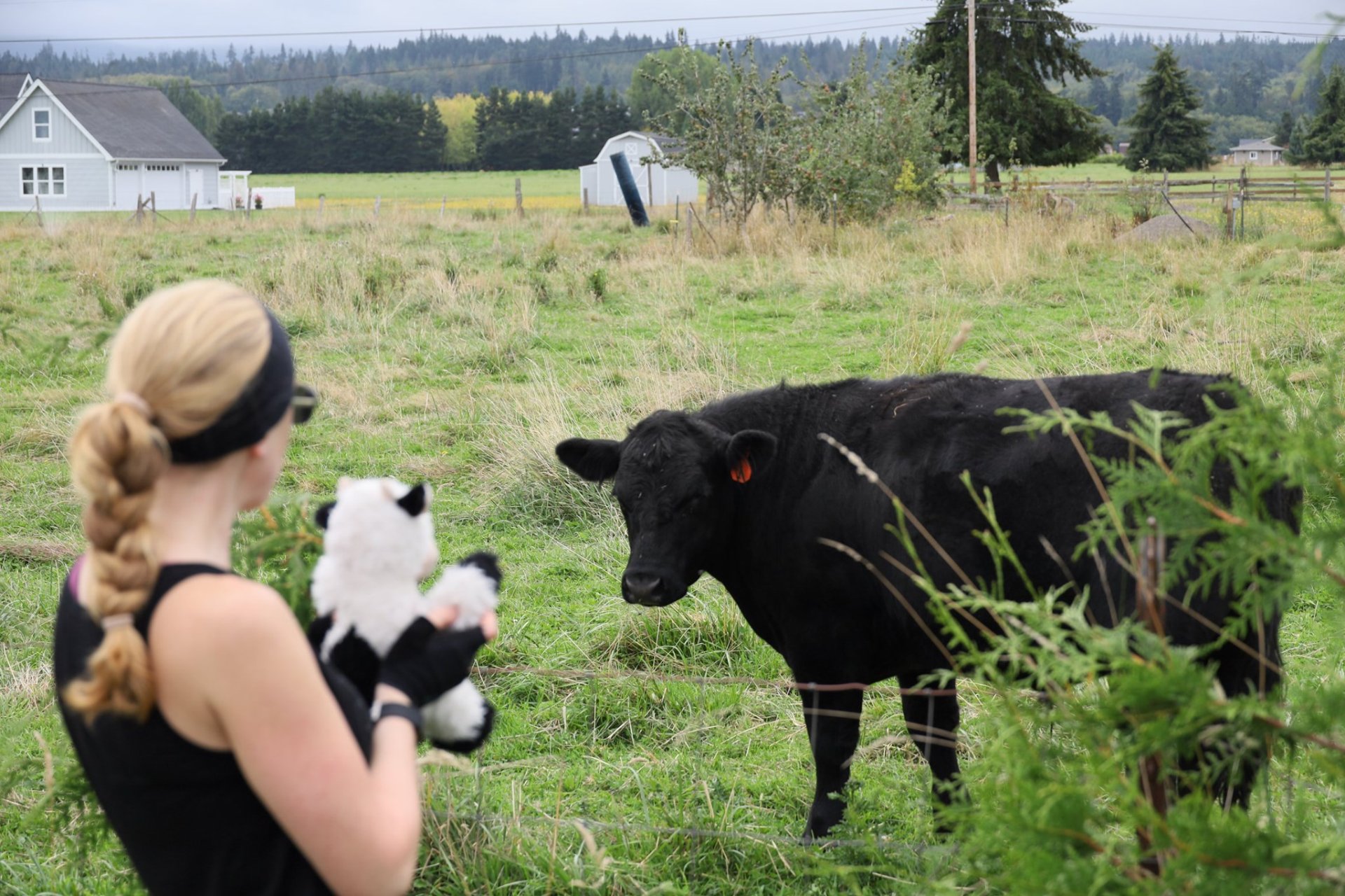
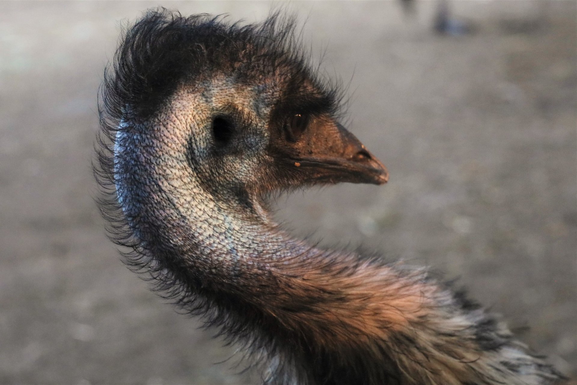
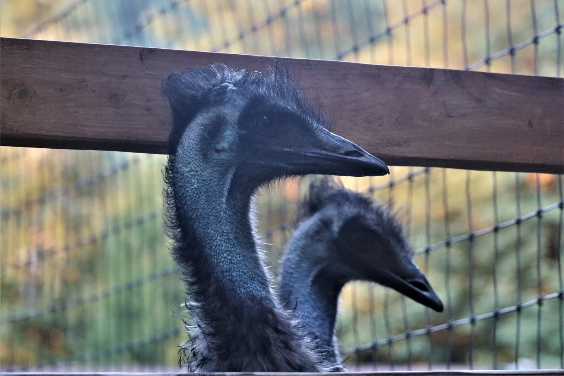
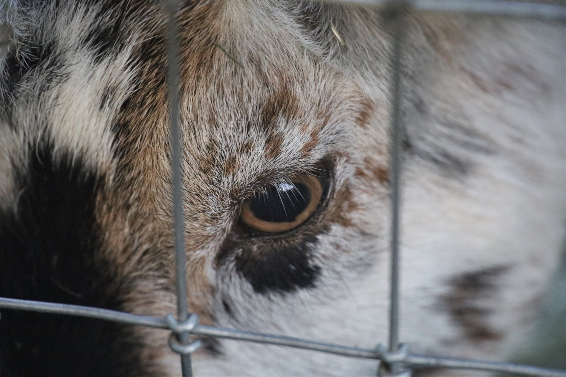
Our favorite alpaca friend came running down to meet us, just as excited as we were, giving us a boost for the final few miles. We hadn’t seen him in months and thought he might be gone, so going out of our way and up an unnecessary hill 60 miles in was a big risk, but it paid off!

Only then did I discover that the vibration from 11 miles of riding had caused the bolts on the inside of my pannier to punch a perfectly round hole in two of the beer cans, draining 16oz of Imperial Blueberry Wheat into a place far worse than our mouths. Luckily the only contents that got soaked were the tent and the pannier fabric itself, so it was the least-bad pannier of my 4 to take such alcohol abuse, and, if it was going to happen, the very end of our trip was the best possible time to be taught a lesson about safe beer transportation!

The beer cans that drained their contents into my pannier.

And if that was one of the worst mishaps of the trip, that’s a pretty good trip. Claire, the new touring bike I built for Rett, acquitted herself admirably, a big improvement over her didn’t-even-know-if-she’d-like-touring old bike. And we both were carrying a ton of weight, which made us slow, but was an important part of our goal to be more comfortably self-contained than we’ve been before. That was both a requirement of COVID-19 touring, but more importantly, an experiment to learn if we would enjoy truly living a life on our bikes. The result: we loved it!

Day 8: Sequim, WA

September 7th, 2020

4.70 mi / 9.02 mph / 188 ft. climbing
Staying at Sequim Bay State Park Campground

The timing of this trip was based on where and when reservable campsites were available, and holiday weekend campsites are real hard to come by in one of the rainiest areas of the country during its 2-month rainless period, so the plan had us returning home on Sunday. Since the route home takes us right past our friend’s house, Rett had gently nudged her to throw a small Labor Day BBQ, and she had generously run with the idea. Unfortunately her man-friend came down with some COVID-potential symptoms a couple of days ago, so sadly-but-smartly, she had to cancel the BBQ.

In Rett’s mind, the BBQ was the only reason we were finishing our trip on Sunday rather than Labor Day Monday. In my mind, it was because there was no place for us to stay on Sunday night. But now that we’d secured a really nice hiker/biker site at Sequim Bay State Park, and the BBQ was off, we realized there was no remaining reason for us to go home just yet. So, let’s not!

While I’ve stayed multiple nights at National Parks, specifically to hike some famous epic trails, I’ve never done an unplanned nothing-day while on a bike tour, so I figured it would be interesting to see what it feels like.

Morning fog on Sequim Bay (definitely fog…this was from the pre-smoke days!)

Morning fog on Sequim Bay (definitely fog…this was from the pre-smoke days!)

Yeah, this sure is a place that’s worth spending another day in doing nothing!

We took our time getting out of bed, but we did need to get groceries for the day since three extra meals hadn’t been part of our plan. Luckily it was an easy 2 miles down the Olympic Discovery Trail to a super-stocked casino gas station, where we loaded up on as much beer (and ice!) as we did food.

We explored the entirety of the park, confirming we had the best campsite, and spotted two insane guys climbing around the underside of the bike trail bridge and relaxing(???) in a hammock suspended six stories above the ravine. Had a nice talk with a cyclist who stopped by our site and extolled the virtues of the cycling community around Sequim (“In an area halfway between Seattle and rural life, there’s definitely a mix of political views in the cycling club, and we all go home and tell our spouses how crazy the others are, but we all get along!”)

In the lower-left, there’s a guy inside the green-gray hammock suspended between the beams of the bridge, and more towards the center is his friend standing on one of the beams.

Wide shot of the bridge-troll daredevils/relaxers(???)

Then it was mostly just relaxing around our campsite, sipping beers, munching on snacks, reading books, writing this post. Almost impossibly soon, we found ourselves down at the dock watching the water soften to pink as the day turned to our last night, for real this time. And Rett spotted her seal again!

Rett seal-watching on our last night of vacation…

Hello Mr. Seal!

Sequim Bay

Heron over Sequim Bay

Us

As we sat around the campfire, a headlamp from the dark blinded our eyes. Another cyclist, arriving at the last possible moment to end the shutout of other hiker/biker site-users we’ve seen on this trip. No story-swapping though, as he was silently asleep in his tent before we even put our fire out.

Campfire, from back when we could still do such things!

The moon had been rising super-orange the last few nights, so much so that I thought it was a sodium-vapor light on a building shining into our tent the first couple nights (it was even oranger than this picture shows). Only recently have I realized that was probably a precursor of the wildfire smoke arriving in force to Washington.

Day 7: Port Angeles, WA to Sequim, WA

September 6th, 2020

39.2 mi / 10.2 mph / 1238 ft. climbing
Staying at Sequim Bay State Park Campground

Despite the brisk business at our campground’s restaurant, the kids visiting the petting zoo, and all the noisy animals from said zoo (who knew emus make a deep thrumming noise, like a guttering toilet?), the Emerald Valley Inn was the quietest and chillest night we’ve had the whole trip. And then you stroll over to the restaurant window, order up some breakfast (and 2nd breakfast of lemon-blueberry scones for the road), and stroll past the goats and chickens and donkey and emus back to your picnic table to eat. Hard to make bike camping fancier than that!

Our new tent setup with our two-person, zipperless sleeping bag. It’s great!

Friends help each other out! Yes, the donkey is (grudgingly? cheerfully?) letting the goat climb on her ass to reach the cedar needles.

The day’s ride was almost exclusively on the trail part of the Olympic Discovery Trail, which took us through a really unique mix of places from Port Angeles through Sequim. Some parts are former railroad, but many are not, and must have been thin strips of land purchased from existing landowners. We biked mere feet away from the waters of Puget Sound, under dense forest canopies, across the middle of a farmer’s pastures, and over four of the coolest bike-trail bridges I’ve ever gone over (including one that required pushing the bikes back up the hill on the other side). It also included all sorts of annoying bike-trail sharp-turns, awkward road-crossings, and unclear signage, but Rett said that despite all those things that give her particular trouble, she’d take it again over the highway.

View of Victoria, Canada from above Port Angeles, USA

Boats at Port Angeles

Riding the Olympic Discovery Trail along the Strait of Juan de Fuca.

Moo cow meets moo cow!

Gnome birdhouse maker along the trail

This combine must have been on fire (exploded?) shortly before we passed.

Another unique section of the Olympic Discovery Trail in Sequim.

The final perfect bit of the trail is that it led directly into the backside of Sequim Bay State Park and the hiker/biker campsites that are just off the trail. This was the only night for which we didn’t have a reservation (the park had been fully-booked for Labor Day weekend for weeks), so we hoped there wouldn’t be a sudden surge of bike tourers heading out from Seattle on this Saturday and filling all the last-minute spots. Of the four parks with hiker/biker sites we’d be staying in, we’d seen zero of them occupied (the place we saw two biking couples was one that *didn’t* have hiker/biker sites), but would that suddenly change? Nope, we had our choice of the three spots, so got a huge, beautiful site far away from the rest of the full campground. Ideal.

Sequim Bay State Park campsite

Sequim Bay State Park

Sequim Bay State Park bridge with overachieving craftsmanship

Boat in Sequim Bay

My crazy silly wife giving a dance performance on the park stage (this is something her body would not have let her do on her first two bike tours!)

Dinner was a rehydrated feast of “ramen”, which turned into more of a beef stew (with jerky, dehydrated veggies, and soba noodles cooked into the broth), and was none the worse for it! Exploring down to the bay, Rett thought she spotted an otter in the water, but the camera revealed it to be a seal! A new animal added to our list!

Ramen Beef Stew!

A seal!

Sequim Bay Sunset

Day 6: La Push, WA to Port Angeles, WA

September 5th, 2020

55.4 mi / 11.5 mph / 2003 ft. climbing
Staying at Emerald Valley Inn Campground

Often, the things that sound the scariest, end up being the best. The most-challenging part of planning this route was navigating along the northern side of the Olympic Mountains. Adventure Cycling’s route (which we’ve largely been following) sends you way up north near the Sound, on a fairly remote and hilly road that added a lot of distance. Another option is the Olympic Discovery Trail, a bike path that traverses the north shore of Lake Crescent. While it looked really cool, it had some sections of insane gravel with drop-offs straight into the lake, so given Rett’s non-native biking skills, that was a no-go. Oh, and the route is closed for construction until October anyway (at which point it will all be paved… yay!) So that left US-101, on the south side of Lake Crescent.

Fisherman in the Sol Duc River

We’ve come to learn the US-101 sends a demonic logging trucker barreling at you every 10 minutes, and due to the mountains being right up against the shore of Lake Crescent, the road loses its shoulder for the curvy, 10-mile stretch. They have giant yellow signs at each end warning cyclists of the danger, and a button to push that will turn on flashing lights for an hour to warn loggers (and other marginally-less-demonic drivers) of the cyclists that might dirty their 10-foot high grille with their splattered blood and guts.

Even before we got to that point, we took a detour off US-101 that added a couple miles because we wanted something quieter. And wow, quieter was what we got. On this alternate, an on-road section of the Olympic Discovery Trail, we saw about 6 cars over the 10-mile stretch, including during our roadside lunch break. And 3 of them might have been the same guy. Downside was that the road was paved with some of the chunkiest, tire-sucking aggregate we’ve seen so far, so it was slow going. But we could take both sides of the entire road looking for the smoothest spots! Sometimes changing things up can trick our brains into thinking the miles are going by faster, even if the clock says they’re going slower.

Lunch break at the intersection of Nowhere Rd. and Nothing Ln.

Then after a long downhill from our high point of the trip (1100 ft.) we pushed the button, and girded for battle with the terror of Lake Crescent. Except, it turns out, we fell in love with it. The traffic, slowed by the curves, by the views, and *maybe* by the bicyclist warning lights, ended up being less-scary than many other sections of US-101 we’d already done. The road was smooth, flatter than anything we’ve been on for the whole trip, and even had a hint of a shoulder.

Cyclist warning / light system at Lake Crescent on US-101

And that lake! Oh my, the lake! Clear green-blue water, reflecting the sunlit mountains onto our cool shady side. Unfortunately the viewpoint turnouts were all on the opposite side of the road, and the hour-long duration of the warning lights meant we didn’t have time to stop for photos anyway. But as usual, moving at bicycle speed is the optimal way to absorb your environment. Rett gave a hell of a push, which ended up catching up with her on the far end, as an endless uphill during which it seemed the shoulder would never reappear was beating her legs to a pulp. But finally the shoulder returned, and any of the pain was temporary, as Granny’s Cafe was only a few miles further!

Lake Crescent

Lake Crescent

It was time for our first private campground of the trip, which was just 7 tent sites behind the Emerald Valley Inn. More importantly, Granny’s Cafe is also part of the property, so Rett got a day off from cooking, as we made four separate walks up to their order window during our stay, the most-important being Rett’s blackberry pie just after our arrival. And they have a small menagerie to entertain us too.

Alive and full of pie, what more could we ask for?

Tent site at the Emerald Valley Inn. Our folding chairs are awesome, but having a real chair to lounge in was sure a nice amenity!

Emu!

If anyone still has any doubts that birds are dinosaurs, they just need to look at an emu.

Goat!

Goat!

Blackberry Pie from Granny’s Cafe

Day 5: Forks, WA to La Push, WA

September 4th, 2020

22.76 mi / 11.43 mph / 501 ft. climbing
Staying at Mora National Park Campground

Rett loves ‘Twilight’. Yeah, the vampire/werewolf love-triangle teen romance series of books and movies. The story is set in Forks, Washington, but we’ve already visited many of the movie locations in the Portland, Oregon area where they were actually filmed. Still, ever since we knew we were moving to Washington, Rett has been excited about the idea of visiting Forks. Until recently, she had no idea that she’d end up doing it on her bike.

Welcome to Forks!

So I’d scheduled today as an “off day”. Giving us plenty of time to visit all of the things ‘Twilight’-related. Of course an “off day” always manages to get turned “on” somehow.

First stop was the Tourist Center, where Forks (pop. 3250, rainfall: ~120 inches/year, by far the largest town west of the Olympics) has wisely dived headfirst into the ‘Twilight’ fan-service and made it a business. (We were successfully able to ignore the fact that Forks is more-recently famous for felling trees across a road to block-in a mixed-race family innocently looking for a camping spot because they insanely thought they were Antifa agitators come to destroy their nowhere town). Next was the laundromat. Not because it was a movie location, but….to do laundry. Then, our first restaurant meal of the trip, with our first beers! Finally! After a final stop at the high school, it was time to leave the family stronghold of the vampiric Cullen clan, and cross over to the lands of their shape-shifting rivals, the Quileute Tribe.

Bella’s truck

Beer, sweet beer! Well, cider and mead, in Rett’s case.

Hey!!! 🙁

Well, not quite, because their tribal lands are closed due to COVID-19, so instead we returned to the Pacific coast just across the river from their La Push, at Rialto Beach instead.

We survived and didn’t get attacked by any shape-shifters, so I guess at least we know we aren’t vampires.

Notes from hundreds of Twilight fans.

Our mark!

Edward is appropriately hiding on the shady backside of the sign.

Choose Your Side

We’ve been to the beach in Oregon that stood in for the La Push Beach in the movies, and it was spectacular. And I’m sure the beaches on the La Push side here in Washington are very nice too. But Rialto Beach blows them away. Undoubtedly the highlight of the trip for me, and I’m so happy Rett was willing on our “off day” to do the mile+ slog down the stony beach to the Hole-in-Wall, and ridiculous sea-stacks that old-man-Luke-Skywalker was probably using as his latest refuge. Let’s just say I took 103 pictures today, like 4 times more than normal. And none of them do justice to the epic scale of rocks and water and skeleton trees.

The mouth of the Quillayute River flowing into the Pacific, with La Push beach across the river to the left.

Luke Skywalker’s hideout, with a green kite and a small Rett for scale.

A natural throne for my queen

The most-massive piles of driftwood I’ve ever seen.

Ocean waves

A lot of people (including these hippie kite-flyers) hiked out to camp overnight. Something on our list for next time!

Stacks

Helpful guy at the bottom left for scale.

Hole-In-The-Wall

Heading “home” to camp.

Heading “home” to camp.

There are these huge rocks. In the ocean. Right there. With trees growing on them. Awesome.

So despite our low-mileage day, we ended up getting into our equally-epic National Park campsite just before sunset. And Rett magically threw together her now-famous camp-stove Pomodoro pasta in the near-dark to cap one of the best days of bike touring I’ve ever had. Now hopefully the werewolves know that Rett at least is torn between being Team Edward vs. Team Jacob, and will leave us in peace for the night.

Day 4: Quinault, WA to Forks, WA

September 3rd, 2020

62.90 mi / 10.81 mph / 2330 ft. climbing
Staying at Bogachiel State Park Campground

Today our ride covered the clock face around the Olympic Mountains from approximately 7 o’clock to 10 o’clock. At 9 o’clock, we were directly on the opposite side of the mountains from Seattle, riding along the Pacific Ocean, in a whole different world from that city at the 3 o’clock position.

In terms of the actual time, our ride covered a significantly greater chunk of hours. This was easily our biggest push of the trip ‘til the end, so we were up at 6am and soon into the white fog that rendered the formerly-expansive Lake Quinault completely invisible. The fog quickly gave way to deep blue skies and more riding on US 101, our exclusive route for the day. We got groceries first thing in the morning, because there wouldn’t be anything even attempting to resemble a town for the entire 63 miles. Like I said, the total opposite of the other side of the mountains, where the Seattle metro area runs for at least that long.

Our site mates from the previous night, Will and Sierra

Getting closer to Forks!

The main reason for the difference is presumably the rain. The west side of the mountains gets more than 100 inches of rain a year, while the Seattle area, in their shadow, gets around 30, about the same as Chicago. While it’s beautiful here during this rain-free week, it makes it hard to imagine the “normal”, always-wet state-of-affairs that exists here for the majority of the year, and it feels like we’re visiting the place without coming anywhere close to knowing it.

Anyway, back to the Pacific Ocean! We rode our bikes to the ocean! That makes two oceans Rett has reached on her bike, which is an inspiring achievement for someone who didn’t learn to ride a bike until she was 35. At Kalaloch beach, the gray driftwood merged into the gray sand which merged into gray sea and into the gray coastal fog that lived and breathed within a mile or so of the water. We saw the “Tree of Life”, or better, Yggdrasil, as it’s a tree whose roots are as visible as its crown. It was easy to imagine Viking longboats pulling out of the fog and onto the beach behind us, ready to go to war against the werewolves to claim the land.

Gray at the Pacific

The Tree of Life / Yggdrasil

The Tree of Life / Yggdrasil

Gray Pacific

After four tough days spent 99% outside, Rett’s ability to walk around camp is better than it’s ever been on a bike tour, a testament to all the prep and learning and training she’s done for this one. Our campsite is nice but the least spectacular so far, but the bathrooms/showers at Bogachiel are top-notch! So clean! They must actively root out the bugs every morning, because there were none, despite the wide-open doors! And, despite the long day, we still had time for our first campfire of the trip! Yay, bike touring!

Riding through Olympic National Park

Bogachiel River at sunset

Campfire!

Day 3: Montesano, WA to Quinault, WA

September 2nd, 2020

51.6 mi / 10.5 mph / 2220 ft climbing
Staying at Falls Creek National Forest Campground

Today dawned with that luminous mix of sun and fog that tells my soul that the Pacific coast is drawing near. Though once that burned off, it actually got hot, which, I guess we shouldn’t complain about given that rain is supposed to be the dominant weather feature here on the Olympic Peninsula, and it looks like we’re going to get the opposite of that. The first half of the day put us on some quiet and quaint country roads that were a bit more farming than forest. The second half had us back in the private forestlands, with sections where gray weathering stumps stood as tombstones and branch debris made massive burial mounds, marking all that remained of what once was green. But then came other replanted sections of various ages, so now I can do a decent job of telling you the age of a forest by looking at it, if that’s a skill you need.

Lake Sylvia State Park in the morning

Lake Sylvia State Park in the morning

Roadside lunch

In Humptulips (LOL), we stopped at the small grocery/gas (basically the only one we saw all day) for some cold drinks, and finally it felt a bit like bike touring in non-COVID times. Part of that was because we actually chatted with the owner for a bit, which is something that happens a lot less that normal. She said the usual “hundreds” of bike tourers that pass through on this popular route each summer have been only a trickle this year, which isn’t too surprising, especially since after two and a half days, we hadn’t seen any either. On the other hand, she said they’ve got more people in cars than normal. A pink-haired Native girl driving a pimped-out Civic overheard us and warned us that there was “a breakout over by Quinault Lodge, which they’re keeping quiet”. I presume she meant COVID-19, which wouldn’t be problem for us since we’d be 100% outdoors, but a valuable warning in a place where I’d figure most people wouldn’t care (though the Indian Reservations here are all closed to outsiders due to COVID-19).

Heading to Forks!

And then when we reached camp on Lake Quinault, there were a couple of bike tourers on a tandem! We chatted for a bit, shared shockingly similar stories about COVID altering our bike touring plans, and offered them a spot at our reserved campsite, but they were able to grab one of the non-reservables. Would have been nice to talk to them more, but that little bit even made us feel more connected to community.

A swim in the creek next to our campsite!

We even got a little waterfall

Since we are only out for 8 days, we managed to make reservations for most of our nights during this super-busy season. Full campgrounds are always a problem for bike tourers, who often arrive late in the day and don’t know where they’ll be in advance. Many places on the west coast (including Washington State Parks) hold aside “hiker/biker” campsites, or often you can find someone willing to let you set up in the back of their site. But we figured people would be a lot less-willing to approach us and offer their site in these times (and those who would make such an offer would likely be the exact people we’d want to avoid!) so we just figured making reservations would take the pressure of everyone. But obviously we’d be wiling to share our reservations with people who understand this pandemic isn’t “fake news”.

Campfire smoke in Falls Creek Campground

Falls Creek Campsite

So then, as we finished up our third Rett-genius meal in a row (Margherita Mac & Cheese, with tomatoes, basil, and mozzarella balls!) a different couple on bikes came over and asked if they could share. Of course! Our site was ridiculously huge and awesome, so it almost felt stupid to have it all to ourselves anyway. We had already taken showers in the waterfall-fed creek right next to the site, recommended it to them, and as they said afterward, it made us feel reborn in a way that a campground shower never could. Will and Sierra are more off-road bike-packing than us, but still had some great concessions to comfort that we like too in our old age, so it was really generous of them to share their experiences with us in the fading light when they hadn’t even cooked dinner yet. They’re headed the same way we are, so it would be great if our paths crossed some more, but if we don’t see them again, hopefully there will be others now!

Dinner!

Lake Quinault at sunset

Lake Quinault at sunset

Day 2: Belfair, WA to Montesano, WA

September 1st, 2020

55.6 mi / 11.7 mph / 1302 ft climbing
Staying at Lake Sylvia State Park

For today’s ride, it seemed Stephen King sent his oeuvre from its normal home in the extreme northeastern corner of the country to our extreme northwestern corner. While there had been a light rain on our tent through the night, the day dawned grey but mostly-dry. Our ride continued along the very edge of the Hood Canal (sometimes 2 feet from the water), filled with all the the images of seaside life. Eventually the waters of the sound solidified into marsh, the marsh solidified into solid ground, and we were back to the forests.

Best house of the trip so far (it’s right on the water too)

Dalby Water Wheel

That’s when the King-isms began in earnest. First we passed the guard towers and waves of razor wire at a Washington State Penitentiary. Next a “Logger’s Tavern” that hadn’t seen a customer in 30 years. Then, at our lunch stop, on the side of a road filled with forest plantations, lay a human bone. Well, it looked like a human bone, but it probably wasn’t? I’m proud to say that discerning human bones from animal bones is one area in which I’m completely lacking in expertise. Then when I crossed over a small mound to take a leak, there were all the rest of them. Bones, many of them, but fewer than 206, scattered in a small hollow. Yeah, I should probably take a leak somewhere else.

Eating lunch with a bone

All the rest of the bones. Identification please? Or don’t we want to know?

The road, which had been beautifully-empty when riding, became frighteningly-empty as we sat and ate our sandwiches, and saw maybe five cars go by the whole time. Once we started again, one of those rare cars that passed us was a slow-moving Pontiac from another era, whose driver raised his left arm out the window as a signal of some sort to us. Finally, when we descended to the Chehalis River valley, the hulking Dark Towers of a nuclear power plant rose incongruously above the horizon.

This must be the world’s biggest treehouse. Was right down the road from “Tugs and Chugs”, where we did not stop.

Nucular.

After that our terrors became more mundane. Namely, the road to Montesano, whose devilish shoulder was filled with bits of loose gravel, and whose travel lanes were paved with such loose aggregate that it probably slowed us down by 2mph. Both were the wrong choice, but the only choice we had. Nearing the end of a tiring day, it was no fun. But Rett then powered up the final steep hill to Lake Sylvia State Park, cooked up an awesome meal of tuna-pasta with way more in it than tuna and pasta, which we enjoyed with our bottle of lake-chilled wine at another amazing campsite. Proving that even socially-distanced bike touring can still be super luxurious.

Lake Sylvia Campsite

Lake Sylvia Campsite

Dinner!

Day 1: Redmond, WA to Belfair, WA

August 31st, 2020

41.5 mi / 11.04 mph / 1709 ft. climbing
Staying at Twanoh State Park

Hola amigos! I know it’s been a long time since I’ve rapped at ya, but we’ve been hatching plans. Namely, we just started a bike tour! Our first in 4 years. It’s just 8 days of riding, so nothing super-epic, but hopefully long enough to feel like a vacation and “getting away” from the abnormally small bubble into which our lives have been collapsed for the last 6 months of this COVID-19 pandemic.

Only after I’d completed the planning for this trip did I realize that previous-Neil would have never wasted his time on a mere 1-week bike tour. I’ve done a few 4-weekers, and a few 2-weekers, but always considered the latter to be the absolute minimum. So I was momentarily confused as to why I’d just screwed up so royally and planned a dumb 1-week trip. Then I realized that my previous minimum-requirements had been due to the high-cost of the “buy-in”. If riding out your front door from Chicago, by the time you get out of the suburbs and exurbs, you get a couple of days of cornfields before you have to turn around. Or if you take a train or a plane somewhere more majestic, that’s half your trip spent traveling with something that’s not your bike.

Rett riding across Lake Washington on the SR520 floating bridge

But here, from the eastern suburbs of Seattle, we can ride 40 miles (with an hour-long ferry ride in the middle) and end up at one of the most beautiful campsites I’ve ever been in. We’re at Twanoh State Park, surrounded by some mind-bending old-growth behemoths, on the Hood Canal (a dead-end lobe of Puget Sound), and are set to do a clockwise loop of the Olympic Peninsula. Our route will be marking out the numbers on the face of the clock, and the Olympic Mountains (and the National Park of the same name) will be filling the center of the clock face.

All loaded up!

We took a mostly-familiar ride from our front door in Redmond, across Lake Washington, and into Seattle-proper for the first time since COVID began. Rett, with new panniers, and her relatively new bike (Claire), did a great job of urban navigation and to the downtown ferry dock. We had our packed-sandwich lunch on the ferry at an every-other distanced table during the hour-long crossing to Bremerton. Rolled into camp around 4pm for one of the least-stressful days of bike touring we’ve done together.

The fairly lame Seattle skyline seen from the ferry

A pretty rough-looking aircraft carrier at the Bremerton Naval Base (though even in this state, it seemed more like a huge office building sitting in the water than a boat).

Our old-growth campsite at Twanoh State Park

And then, we had pizza for dinner! Sunday pizza! (a Gregie family tradition!) Rett’s taken a strong interest in camp cooking, and it’s been awesome. Pizza, on a backpacking stove, fueled with gasoline, essentially from scratch. Well, not the dough, but fresh-chopped garlic, tomato paste, cheese, pepperoni, spices, and some wizardry with adding steam to the frying pan to heat the topside and melt the cheese. And a fresh spinach salad on the side! And with those giant trees watching us, and a creek burbling right below. A guy walking on the almost-invisible trail on the slope on the other side of the creek stopped and said “wow, you guys have a great site there!” which is the first time I think I’ve ever heard that from a passer-by. If only he knew what we were eating too!

Sunday Pizza Dinner!

Another view of the giants (note the wine bottle in the base of the tree for scale!)

We finished with a stroll down to the water, with the mobs of Sunday-afternoon beach-goers we saw on the way in now all cleared out leaving mostly just us, the millions of barnacle-covered shells, and the blue-tinged Twilight-like twilight saturating the air.

At Hood Canal

At Hood Canal

At Hood Canal

One of the millions of wild shell-formations

Day 19: Salisbury, MA to Boston, MA

September 24th, 2016

41.5 mi / 3:25:15 time / 12.5 mph avg. / ~1500 ft. climbing

Staying at Shay & Dana’s place

The evening rain came as predicted, but we were safely holed up in our tent by then, and it meant we were asleep relatively early. That enabled us to wake up before dawn so that we could make some coffee, walk over to the beach, and watch the sun rise out of the ocean. It had been a while since we’d had a chance to watch a sunrise/set over water, so it was a fitting start to the last day of our tour.

It was beautiful, but also sad. How was our ride already ending? Had eighteen sunrises and sunsets truly crossed the horizon as the world spun ’round under our wheels? It didn’t seem possible, until “…remember that lunch we had in the gazebo? Or that squirrel that ate our M&Ms?” “Oh yeah…that sure seems like a long time ago, and somewhere very far from here…” The sunrise and sunset clearly do a better job of keeping time unbent than our minds do, though we would soon be returning to a world where their passings, rather than being felt by our fallible souls, are rigidly tracked in grids of boxes filled with numbers. It’s perhaps the one time in my life when numbers and grids and records seemed less than exciting.

We left the campground without having to take out our wallets, and fell right into the middle of the Seacoast Century, a big organized bike ride. Another rider had told us about it yesterday, and as seems oddly “normal” for such things, we got very few reactions from the dozens of cyclists who passed us in both directions. Maybe no one wants to be the only person who doesn’t understand the role of the big baggage-bikes in the middle of their ride, so they just keep their mouths shut. Mostly we noted how it seemed like some 80% of the riders were wearing high-viz yellow jackets, which made us wonder if our practical and fashionable black-and-gray color scheme for all of our clothes was the best possible choice.

Our camping friends recommended Pat’s diner for breakfast, so of course that’s where we stopped. A personal greeting from Pat in her 1940’s-era prefab railcar-style diner, and great food to go along with it completed the quality recommendation.

Then it was time to begin our dash to the end. We were back on US 1, known here as the Newburyport Turnpike. An extreme cartographic anomaly, it runs dead straight from Newburyport into the heart of Boston for some 40 miles. I don’t believe there’s another road in the entire Boston region that runs straight for more than 40 yards. I figured that riding through Boston’s exurbs and suburbs wouldn’t be particularly enjoyable on any route, so we might as well take the shortest one. The site I use to gauge the popularity of roads among cyclists showed that almost no one rides the Newburyport Turnpike, but I had driven parts of it before, and did extensive Google StreetViewing of it when planning the trip, so I knew that it at least had a shoulder for its entire length, which is something the longer and curvier routes couldn’t promise.

The tradeoff is that it’s one of the more insane roads I’ve ever traveled. Particularly in the stretch through the Boston suburbs, where there are three lanes in each direction, and interchanges, both of which make it feel like a limited-access expressway, but simultaneously there are businesses lining both sides with driveways directly connecting the “expressway” with their parking lots. This means the right travel lane has to find a compromise between the 60mph traffic flying by in the left lanes, and the old ladies entering the road from their hairdresser’s appointment. While that’s a clear recipe for chaos, my bet was that people would at least be accustomed to that chaos, so adding a couple of touring bikes to the mix wouldn’t be particularly notable or upsetting.

And my bet largely paid off. Yes, crossing the on- and off-ramps at the interchanges was a bit nuts, and Rett was at code red the entire time (though all outward appearances showed she was doing an amazing job of calmly dealing with the chaos). But we only got beeped at once in 20 miles, had no close calls, and got where we wanted to get faster than any other method.

One place we wanted to get to was Friendly’s, a regional favorite of Rett’s, where we got some ice cream dessert with a side of lunch. Soon after, we left the Turnpike, all intact, only to run straight into a homecoming parade that had closed down a bunch of streets in the area. Dammit. Another reroute (we’d already had to take another detour for road construction earlier in the day). But this time, our bikes were our saviors. The parade had gridlocked traffic for miles, but we were able to slide through, and probably made it back onto our route 20-30 minutes faster than if we had been in a car. Yeah, bikes!

Then we hit some bike lanes, made a wrong turn, made another wrong turn, got some directions from a passerby, and made another wrong turn. Oh, Boston. You’re amazing in your impossibility. I literally had my GPS-enabled phone turned on, strapped to my handlebars, looking at our little dot moving across the map, and still could not determine the correct places to turn!

So our arrival at our final destination, Boston’s South Station, was both anticlimactic and utterly appropriate for Boston. My directions were directing us the wrong way down a one-way street, so we once more pulled up onto a sidewalk to re-plot, and decided that it was easiest to just walk our bikes on the sidewalk for a block to the station. Thus, without even really being aware of it, our riding reached its end on that random sidewalk, just a few more wrong turns short of 900 miles for the entire trip.

We went over to the Amtrak baggage department (located out on track 11!) to box up our bikes to send back to Chicago on the train without us ($63.50 per bike, plus one $15 bike box, plus one free reused box). As we finished packing them up, Rett’s good friend Shay and her husband Dana magically appeared to help us wrangle our multitude of bags (now loosed from their bicycle steeds) and backtracked us out in their car to their apartment in the suburbs, where we caught up, told any tales that hadn’t made it into this journal, and got some quality showers.

Apparently easing the logistics of the end of our trip wasn’t enough from them, so they generously took us out to perhaps the best meal of the trip at the Seaport Grille in Dana’s old stomping ground of Gloucester. After, we got treated to a spin through Rockport, with its almost impossible-to-believe storybook streets of old shops casting their golden glow out onto the darkened paths. We stayed up talking way too late for people who had to catch a morning flight back to Chicago, but it sure was nice to have good friends to help ease our transition back into the real world.

But wait. Why can’t riding our bikes be “the real world”? Hmm… Excellent question.  To be continued, someday, as the road goes ever on…