Day 07: Kelley’s Island, OH to Sandusky, OH

June 1st, 2014

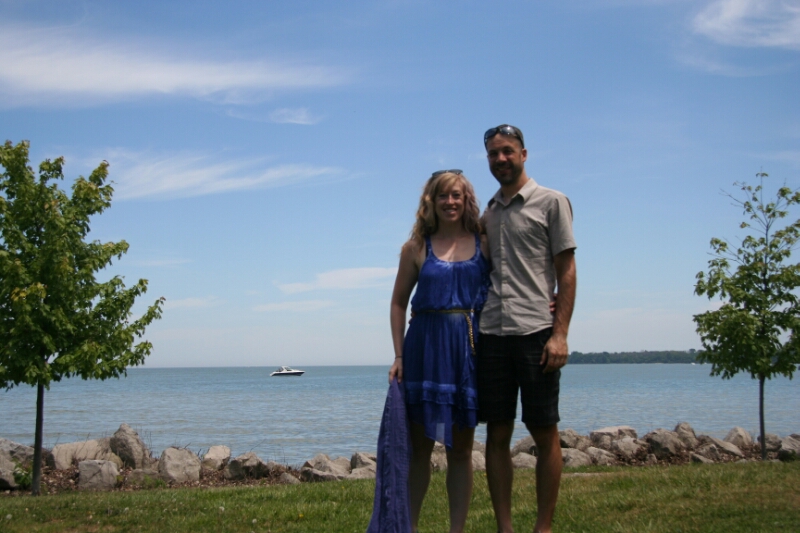
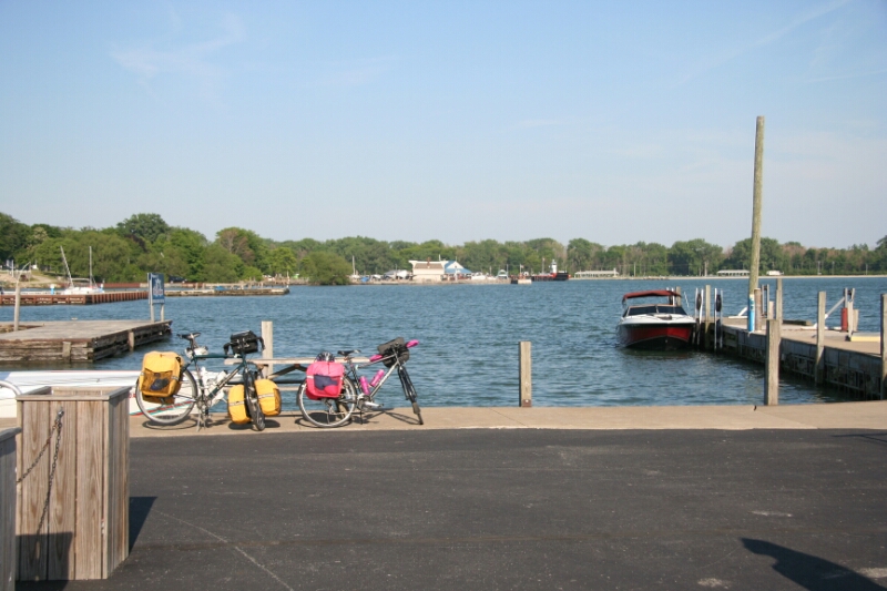
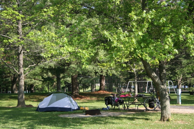
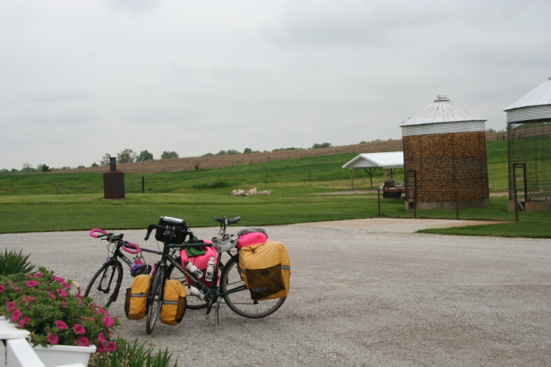
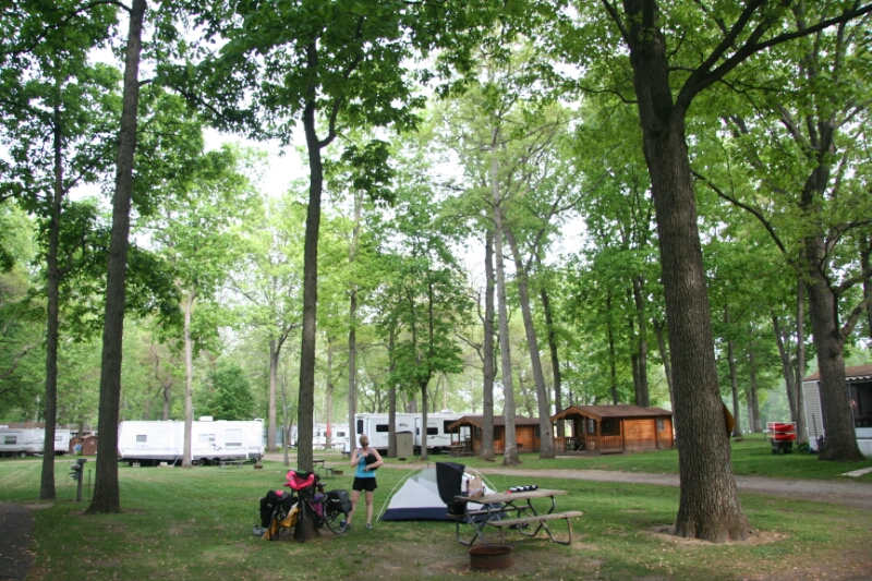
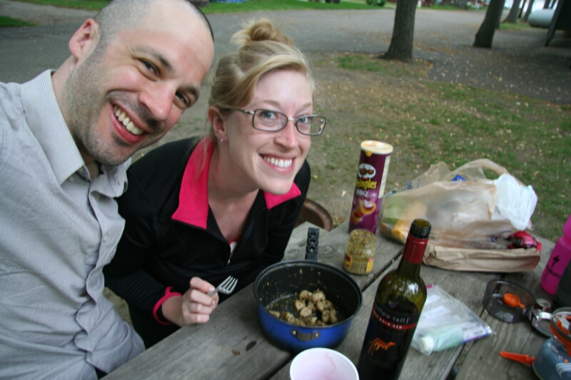
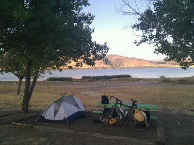
Today was a day to rest, and enjoy the island! We still woke up at 6:30 as we have every morning, but managed to keep dozing until 8:30 by which time the sun was heating up the tent too much, not to mention the big ol’ bird that landed on top of it! Later on a red-winged blackbird attacked my head, so it seems it’s the birds that are the pain in this campground. During last night’s adventures I had packed all our food into my pannier, under the theory that a raccoon opening a pannier and leaving us foodless would be a lot less bad than ripping a hole in the tent. Luckily all food was untouched when we returned, so the Kelley’s Island raccoon team, if it exists, could use some lessons from the birds.

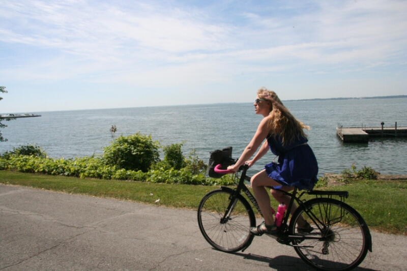
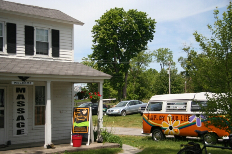
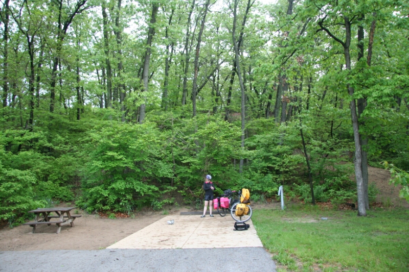
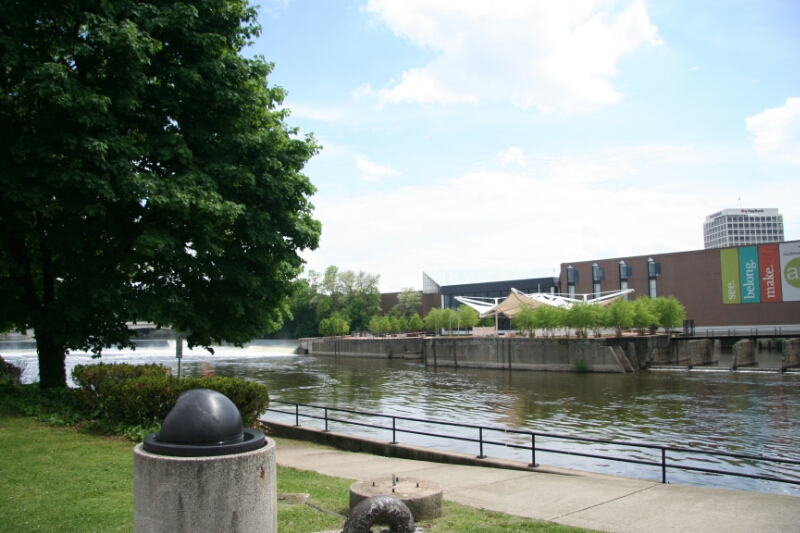
We took a 3 mile ride along the west coast of the island to get some breakfast at the brewpub; don’t worry, I had milk and Rett had a coffee drink. Then Rett went to get a massage while I did some writing in the park at the center of town. We slowly rolled back to pick up all our gear back at the campground for 1pm checkout.

image

image

image

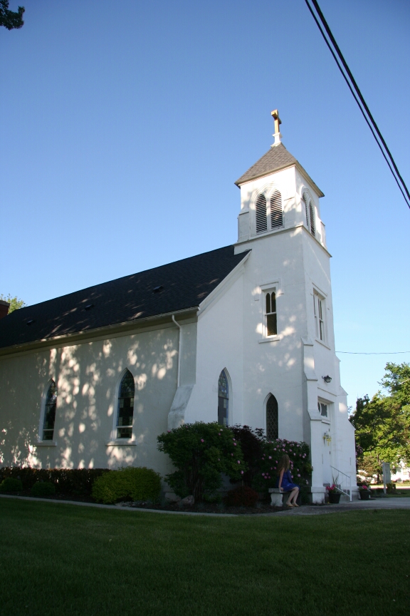
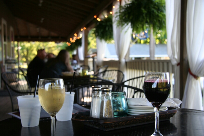
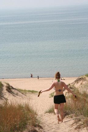
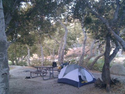
After one last look at our lakefront real estate, we rode back to town, parked our loaded rigs in the park, and stopped in The Casino for a dockside drink, their toilets, and to look at the gross dudes pulling in with their floozies in their cigarette boats. Maybe since it’s the low-key island, it seems like there are a fair number of past-their-prime prowlers about, which adds to the charm.
image

We stopped over to another place for their lobster chowder, and another drink, but by that point maybe all the drinks or food of the past few days caught up with me and I started feeling pretty blah. So back to the park where I laid down in the grass and shade, while Rett checked out a couple shops. For some reason I actually felt a little weird admitting that I wasn’t feeling 100%, but was then simultaneously proud of myself for doing so. Especially since I felt quite a bit better after the rest.

Then we made a failed trip back to the brewpub for dinner (they closed at 5), and instead ended up at a martini bar/restaurant, perhaps the fanciest place on the island. A lot of locals, like the bartender from the chowder place, or the ambulance driver who rescued the barstool-faller the night before, were hanging out at the bar. Late on a Sunday afternoon, it really had the feel of the end-of-season rather than the beginning, with most of the tourists gone, and only the interwoven dramas of the summer employees left, and fading like the sun.

We originally had planned to camp for two nights, and leave on the Monday morning ferry, but less than a week before the trip I noticed that on the 2014 schedule, there would be no Monday morning ferry! Good thing I noticed, since otherwise we would have been stuck on the island til Friday. Or, maybe that actually would have been perfect.

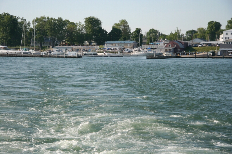
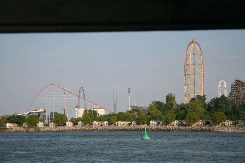
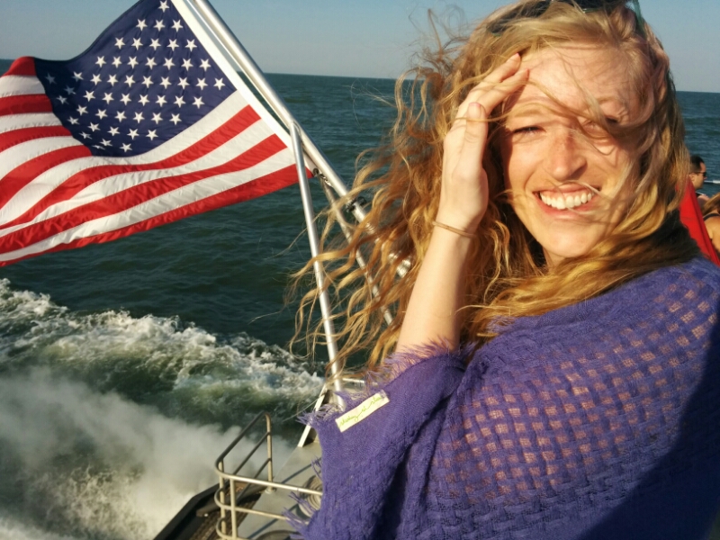
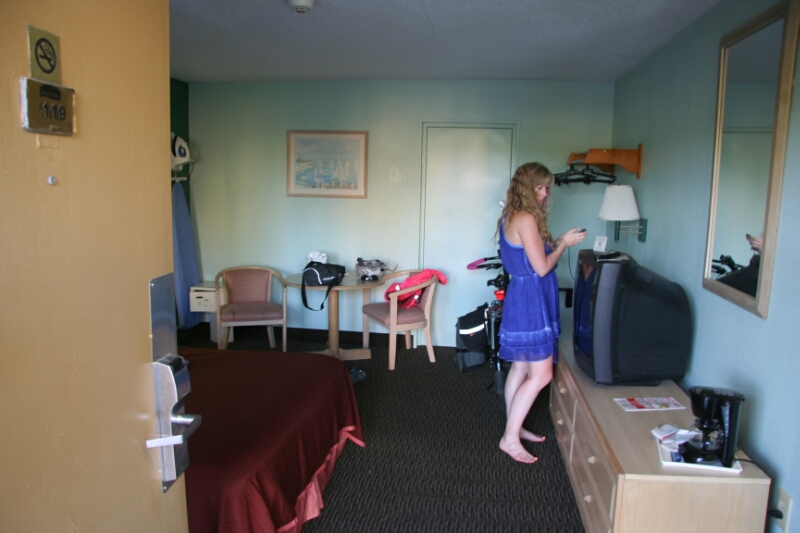
Anyway, we caught the last boat to Sandusky, this time the Jet Express catamaran, where we might have been the only sober people on board. Rett reveled in the knock-you-over speed and spray as we flew past Cedar Point and into Sandusky. A couple miles down the road brought us to our nicest cheap motel so far, where we decided to pay $20 more than the campground to insure against the risk of rain overnight and to get the best rest possible for restarting our ride tomorrow. We’re gonna miss that island, it was the perfect place to take a break.

image

image

image
image
image

Day 06: Perrysburg, OH to Kelley’s Island, OH

May 30th, 2014

51.0 mi / 5:29:20 time /  9.3 mph avg. / 199 ft. climbing

A bike tour can essentially be seen as an extended balancing act. Of course balancing a two-wheeled mechanical contraption is of foremost importance, but it goes much deeper than that. Covering distance must be weighed against the ability to enjoy that distance. Eating too little vs. eating too much. Covering your skin to protect you from the sun vs. uncovering your skin to protect you from the heat. All these and more were weighed by Rett and I this day.

At first-breakfast at Starbucks, we balanced our need for energy with our need to save room for second-breakfast. Rolling down US-20, we found a speed that kept us moving against the headwind without ripping us to pieces. Hopefully the steady headwinds from the last few days will eventually be balanced by tailwinds. Or maybe the sunny skies and lower temperatures are already the balancing part of the equation.
image

Second-breakfast had some really good cinnamon French Toast at Rayz Cafe. Then onwards through Oak Harbor, and soon after, our first view of Lake Erie! The scent, and the roadside environment actually made it feel much like an ocean holiday resort, quite unlike anything on at least the western shore of Lake Michigan. Seeing the water and sailboats and wave-runners was the most exciting moment of the trip for me so far; my mind was suddenly snapped into the realization that we had made it to a different place, somewhere quite distant from our start.
image

Crossing over onto the Marblehead Peninsula, we got some ice-cream fuel, and then it was time to balance Rett’s desire to make it on the 3:30pm ferry with my desire to not overwhelm her body in the race against the clock. And psychologically, to balance a belief that we could actually succeed in covering the 10 miles in that time, with preparation for disappointment in case the effort ended up being a waste. All day the headwinds and the 6 days of riding had Rett’s legs in a worn-out state, but she fought like hell against them with her mind, and thanks to her hard work (and desire to start our island break as soon as possible!) we made it aboard the boat to Kelley’s Island with a whole ten minutes to spare. Success!
image

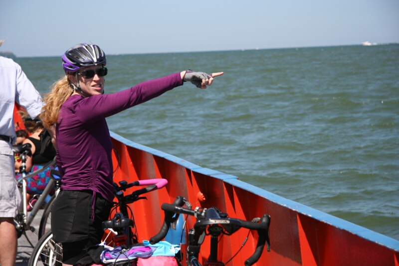
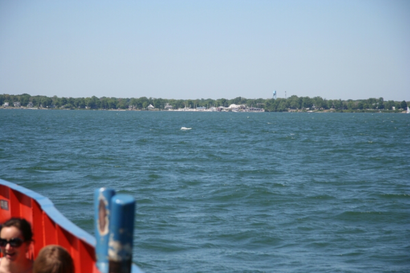
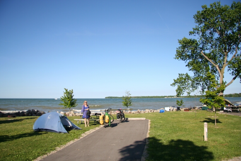
Kelley’s Island is 20 wind-cooled minutes into Lake Erie, with views of the giant Cedar Point roller coasters in the distant haze. We slowly rolled the two miles to the state park on the opposite side of the island and snagged the last available lakeside campsite. Here we would balance the unbroken effort of the last six days with a day of rest and relaxation.
image
image
image

The island is small, low-key (even on the weekend, here somewhat before peak season), and charmingly unpretentious. Bicycles and golf carts are the major forms of transportation on the few island roads. We instead left our bikes in camp and took a two-mile walk to the Kelley’s Island Wine Co. for dinner, with plans to then head further to the 4-bar “downtown” area. It was a pretty long walk for Rett’s aching knees though, so I was really hoping we’d be able to find some other way back when the cold and dark came on.
image
image

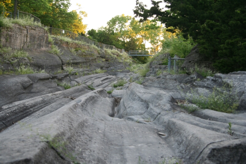
The wines actually balanced nicely against my low expectations, and the food was great. Sitting out on the covered front porch, we commented to each other on The Rabble-Rousers: a foul-mouthed drunken idiot getting behind the wheel of a golf cart with three similarly drunk adults and three (hopefully sober) kids. We overheard the other couple on the porch make a similar comment, and, finding a common bond in our distaste for idiots, we quickly struck up a conversation. One thing led to another, and soon we were riding in their car with them over to the Glacial Grooves, a unique geological feature in the the state park. We took in the sunset, inhaled the atmosphere, and shared stimulating conversation. Sometimes, the more you talk with people, the more you realize that you have less in common than you initially thought. It was the opposite with Charlie and Laurie, and I became more and more happy that we’d run into them.
image
image
image

We then went back into town with them, and Charlie led us to a bar for drinks and more conversation. The awkward dancing on the outdoor patio, the bachelorette party remnants, and the mom using her 34-year-old daughter as her wingman carried forth the vibe that I was really digging about the island.

After one more bar hop, Charlie and Laurie had to catch the ferry back to the mainland, but first they were kind enough to take us all the way back across the island and drop us directly at our campsite. Even more, they informed us that Bike (er, motorcycle) Week was happening in Sandusky (where we planned to stay the next night), and if we had trouble finding a place, Charlie promised that he would drive out, pick us up, let us crash at their place, and drive us back to our route the next day. Amazing. What generous and genuine people. They helped turn a good day into a great night.

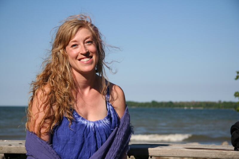
As I stood outside our tent, with my girlfriend at my side, the stars wheeling above us, and the waves softly crashing at our feet isolating us from the world at large, everything just felt right. Balanced. That’s one great day of bike touring.

Day 05: Fayette, OH to Perrysburg, OH

May 29th, 2014

47.2 mi / 5:03:50 time / 9.3 mph avg. / 318 ft. climbing
Staying at EconoLodge Motel

Only one more raccoon visit happened overnight, with one sniffing out some plastic bags in Rett’s pannier rain cover. The night was actually oddly quiet; I think the campground overlords control even the behavior of the insects in order to keep the peace.

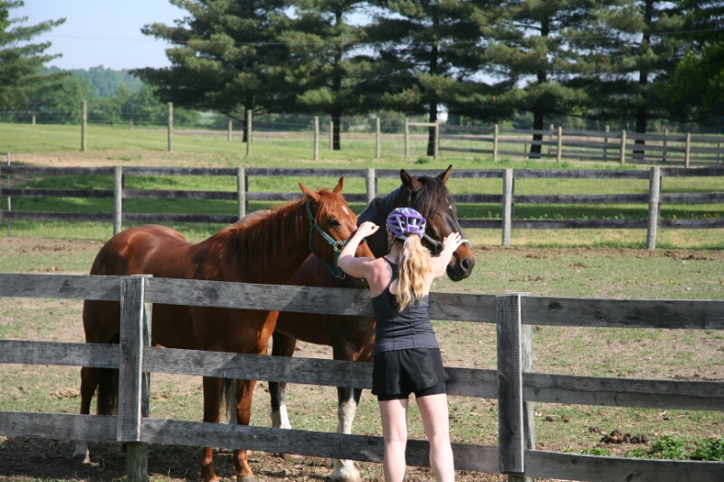
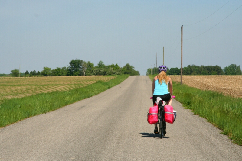
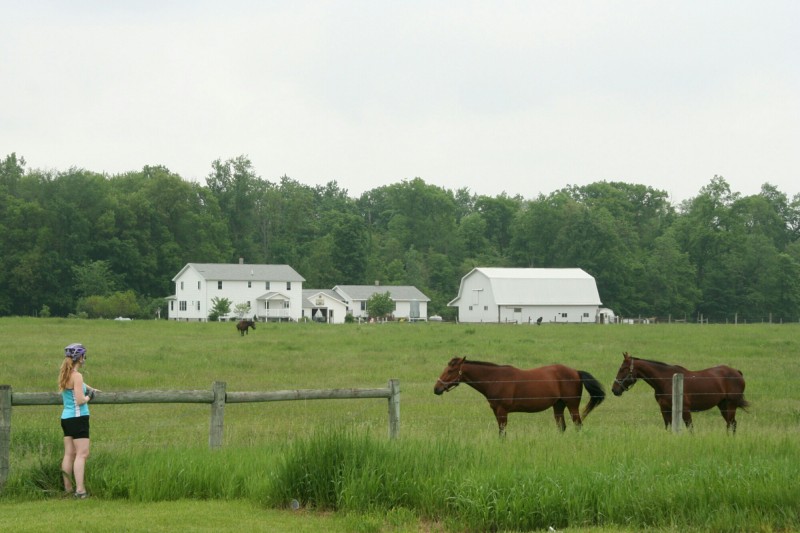
Today and yesterday felt like some of the most remote sections of bike touring I’ve done outside of the desert southwest; after our second night in a row camping far from any town, we then had another 21 miles to go before the first breakfast opportunity. So we made extra preparations to have first-breakfast provisions on hand (led by a bag of donuts), and they seemed to serve Rett’s morning legs pretty well. A repeat of yesterday, we had mid-70s, low humidity, and sun. And more headwind. We saw about 4 cars in the first hour of riding, several unleashed but not-too-aggressive dogs, we talked with a friendly county sheriff’s deputy, and Rett made her second roadside restroom stop of the trip (the latter two were thankfully unrelated!) At one point where her energy started to flag, it was restored with speed and giant smiles after she got a chance to pet some horsies in a roadside paddock.
image

After late second-breakfast, we got ice cream a bit later in Swanton, a town made ugly by an outlying highway that clearly destroyed the railroad-centric downtown and replaced that core density with sprawl. Ugh. And that girl honking at us and gesturing angrily in her convertible was pretty ugly too.

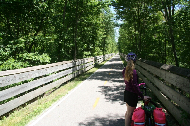
Then we got on the Cannonball Trail for 10 miles into Perrysburg. It was smooth, flat, shaded, wind-blocking, and directly on our path. Those are pretty much our criteria for taking a trail over a road, and it was lucky that all this came together here.
image
image
image
Coming into Perrysburg, near the end of the day, with the heat peaking, through some difficult traffic and a difficult intersection, I inadvertently piled on enough to break through Rett’s stress limit. She normally does so well under difficult biking conditions that I sometimes forget how stressful such conditions can actually be for someone biking less than a year. Her rear, while definitely on the mend, likely also added to the stress level.

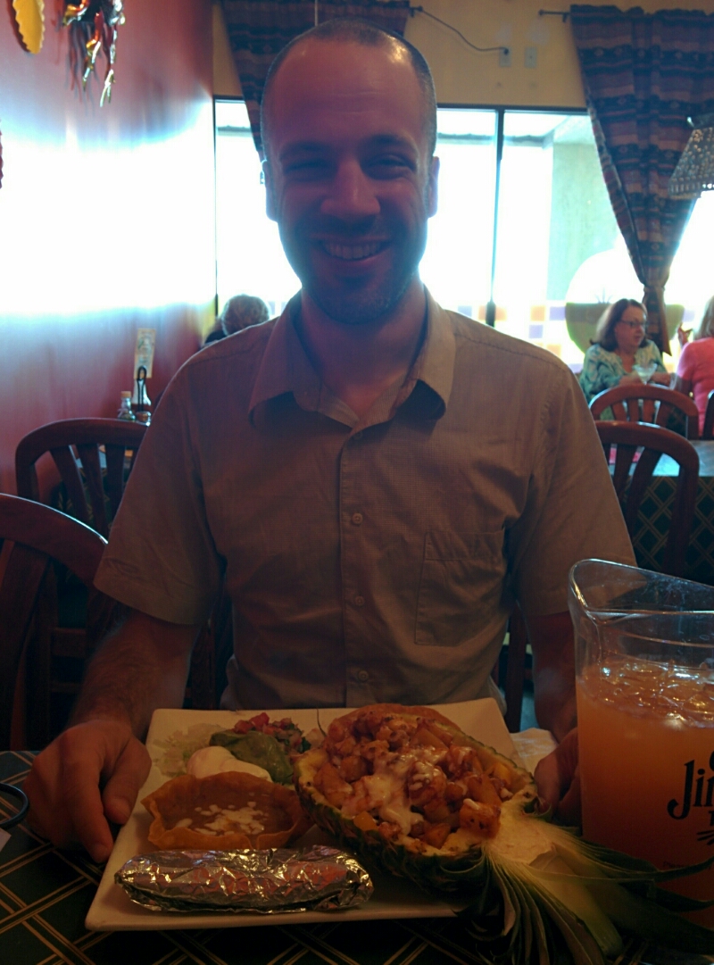
But we quickly cooled down, and some Internet/phone work got us a $45 EconoLodge room, booked for us by the Quality Inn receptionist against the will of the EconoLodge receptionist, who didn’t want to give us a first-floor room (which makes it a lot easier to roll our bikes inside). Woo hoo! Google pointed out a highly rated independent Mexican restaurant in the sea of chains, and boy, that shrimp+bacon+chorizo+mango inside-a-pineapple thing was my favorite meal so far. It’s very odd to go 5 nights without a trip to a restaurant for dinner, but that’s just how this trip has worked out. So it was nice for Rett to see that campground cooking is not necessarily the standard for my tours. For $45, the motel ain’t the greatest, but it’s better than a tent, made for a relaxing evening, and I’m at least 50% sure we won’t have a raccoon problem!
image

Day 04: Orland, IN to Fayette, OH

May 28th, 2014

47.0 mi /  5:11:13 time /  9.1 mph avg. / 926 ft. climbing
Staying at Harrison Lake State Park Campground

We knew Rett wasn’t a morning person, though she’s actually been more of a driver of us getting up and on the road than me. That’s just one example of us working really well together, since it wouldn’t be tons of fun if I felt like I had to be the taskmaster. But in terms of riding, it has now repeatedly taken until second-breakfast before her legs stop feeling like lead pipes. Yesterday we unfortunately verified that coffee isn’t a sufficient elixir, but we’ll keep experimenting. Obviously riding three of her most challenging rides ever, three days in a row, contributes to the lead pipes, but the alchemical transformation into gold after second-breakfast has been remarkable.

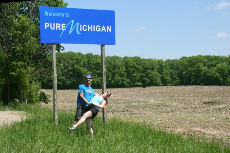
Today’s second-breakfast was at a hippie-style lakeside bar, and extended to do some planning using their wifi. Then through the small town of Fremont, and then, into our third state: Michigan!

image

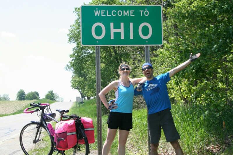
What? Michigan is on the way to New York? Yep, for us it is. And then 20 minutes later, we made it to our fourth state, Ohio!

image

Damn, we’re fast. OK, really it’s just some weird twist of geography and history that drops a corner of Michigan into Ohio, but the important part is that either way, we made it through the whole width of Indiana. Yeah!

Today was scheduled to be a “short day”, and with no threat of rain, and comfortable 75 degree temps with low humidity, it should be easy, right? Well, I forget to take into account the miles of up-and-down hills upon entering Ohio, and the constant 10 mph headwind sure didn’t help matters either. And all the while Rett was still fighting through the pain in her rear.

But oh, what a fighter! Powering up the hills in defiance, keeping the miles ticking down, even when she was losing hope of making it to our destination. But just near the breaking point, the hills flattened, and the impossible seemed possible again. I even learned yet another bike-touring trick from this supposed novice: the mid-ride baby-wipe wash of the face. It breathes a whole new life into you!

We really entered some remote territory today, with only two towns on the whole route, and lots of country roads where we rode side-by-side. One of them sounded like the snap-crackle-pop of Rice Krispies under our wheels, and Rett quickly deduced that it was sun-heated tar bubbles bursting as we rode over them. Weird and kind of fun! There are lots of little ponds around, presumably created when the former swamp that covered this region was more formally separated into water and land.

image

image

Harrison Lake State Park is as nice and clean as all the reviews stated, but I can’t shake the feeling that it’s some dystopian paradise-hell where beauty and order is maintained only through a set of draconian and unnecessary rules: no alcohol, no driving on this bit of road that is an important connector in the park, one hour parking at the shower house, etc. So we had to carefully hide our wine from the roving park rangers, and likely the overhead drones as well. But nothing like contraband wine to make your soup and cheese-and-cracker dinner.

image

The one thing not controlled by any rules? You guessed it: raccoons! We were  both sitting in the tent in the fading light, and I was about to go back out and do some final cleanup, when another brass-balled raccoon sauntered right up to the door of the tent and took off with our box of crackers! I burst out after him, and he dropped it before he could do any damage, though I chased him into and out of a tree with more water bottle missiles anyway (again, none met their target, but he eventually ran off to harass someone with fewer projectiles in his arsenal, I hope).

Why was there a box of crackers right in front of our door? Because I had bagged up all of our food to bring into the tent with us in order to… keep it from raccoons! I just hadn’t yet brought it in. Argh, death to all of them! Thankfully, while Rett isn’t a big fan, they don’t do much to break up her sleeping. We have our fingers crossed that we may have turned a corner on her skin pain, but she still needs as much good sleep as she can get, especially on this second night in a row in a tent. Back to a bit of civilization tomorrow!

Day 03: Granger, IN to Orland, IN

May 28th, 2014

54.5 mi /  5:19:51 time /  10.2 mph avg. /  499 ft. climbing
Staying at Manapogo Park Campground

We were up before our 7am alarm, with Rett getting another good 9+ hours of sleep. Cereal and coffee were nice treats at our AirBNB as we packed up all our blown apart gear (which always takes longer than breaking down camp in a campground because you totally throw all organization to the wind when sleeping inside a building). Rett was even getting a bit antsy with my dawdling, which is greatly preferred over the opposite! Especially since I was waiting for rush hour traffic to die down and rain chances to pass anyway.

A cursory inspection revealed that last night’s Neosporin + Aquaphor treatment had eliminated any visual evidence of Rett’s pain, though of course that didn’t mean that she was quite as fresh as a daisy just yet. The glorious air conditioning had completely dried out her washed pair of favorite padded shorts overnight (and to clear up any confusion over yesterday’s entry, she has been wearing padded shorts the whole time, she had just been saving her good ones for later, and trying to toughen up her skin by not babying it).

Hopping aboard after our quarter mile walk out the beautifully wooded driveway didn’t induce any yelps like yesterday, but it also didn’t appear to be super pleasant. In my planning, I had plotted out three options for the day, and due to her condition, we chose the shortest one, ending at a commercial RV Park (which I usually avoid in favor of state parks and the like). So we made our way over to Elkhart for second-breakfast at McDonald’s, which got Rett’s motor running a little faster.

image

She had the excellent idea a few days ago to pick up some shelf-stable gnocchi from Cost Plus World Market, so in Bristol, while I fixed a flat on her front tire, she found a jar of pesto for tonight’s dinner (the shop girl didn’t know if they had it since she didn’t even know what pesto was!)

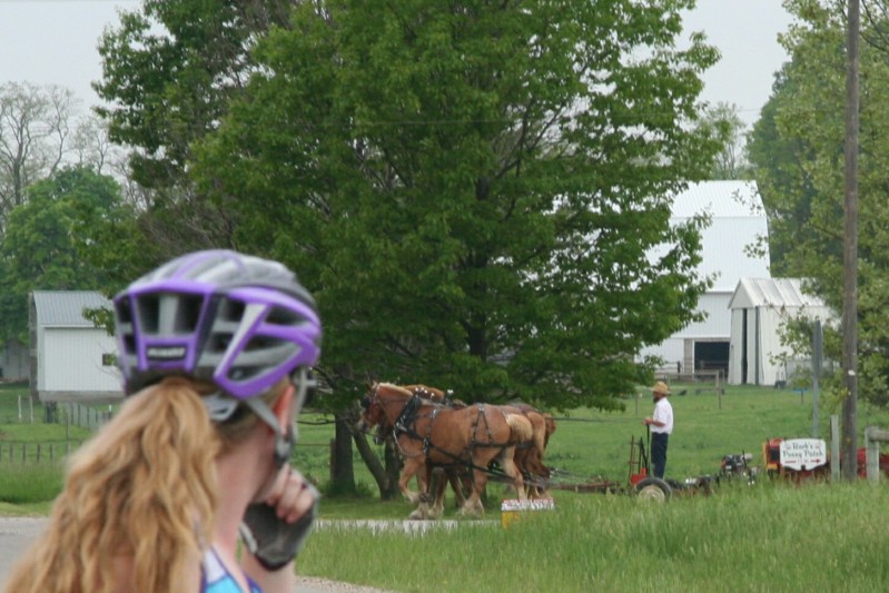
Then we headed out down SR-120, which would be our road for the rest of the day. Smooth year-old asphalt, continuous 4 foot shoulder, cloudy skies to moderate the  temperature, small Amish (Mennonite?) farms populated with lots of horses, an unexpected bakery in the middle of nowhere, and friendly small towns put both Rett and I in a great mood for a beautiful day of true bike touring. After a day of mostly urban riding and a day of major highways in pain, I was glad that Rett finally got a taste of what I consider an ideal bike touring day. And her shorts seemed to be working, to the point where she could enjoy everything else almost as much as me (and even more when it came to the horsies and baby horsies!) By the mid-point of the day, my grave concern from last night had been turned around into a belief that we can actually do this thing!

image

image

image

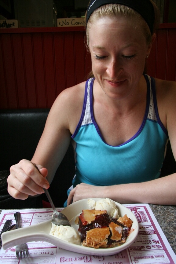
Lunch was in  the small town of Howe, where Rett’s raspberry pie rated as the best pie she’d ever eaten. Orland, despite its small size, had a perfectly placed liquor store for us to get a bottle of wine for dinner (which I’d never had on a bike tour before, what a fantastic idea by Rett!)

image

I had emailed the RV Park to confirm that they had tent sites, and their positive reply mentioned that they close at 5. When I said we might not make that, they said to just grab any site we wanted, and slide $20 under the office door. Very cool of them, especially since that was even a small discount off the posted rate. When we arrived around 5:10, and were about to set up at one of the tent sites literally 100 feet from I-90 (though nicely shaded with tall trees and green grass), a woman in a golf cart pulled up, telling us that a coworker on her way home saw us on the road and called to tell her to stay late for us. She suggested a site more towards the interior of the park, where we could have electric, water, and be close to the bathrooms and showers. Rett wisely recommended that we go for that instead, even if she got distracted off-course before we made it there, by a seasonal camper’s two dogs (yes, she misses Pip very much). They still only asked $20 from us, and even offered to go back and re-open the camp store if we needed anything. Wow, I was happy that Rett could experience the “people are good” feeling I get on every bike tour, because, you know, people are good.

The electric sites were just as green and tree-shaded as the ones by the highway, the bathroom a few feet away was clean with great hot showers, and when a couple of drops of rain started falling, other friendly seasonal campers offered to variously take our bikes onto their covered deck, or let us sleep in their (two-bedroom!) trailer! As it’s literally one of the nicest campgrounds I’ve ever stayed in, it’s sure making me rethink my anti-commercial-campground bias. But don’t worry, I definitely made sure to still bring all the food into the tent. Including the awesome pesto gnocchi filling our bellies!

image

image

Day 02: Indiana Dunes, IN to Granger, IN

May 27th, 2014

59.7 mi /  6:04:54 time /  9.7 mph avg. /  829 ft. climbing
Staying at Wayback House AirB&B

The rain continued for a few hours into the night, while Rett slept away. At some point I dozed off, only to be awoken by the sound of my bike shifting around. Oh shit, raccoons. I’d forgotten about that camping menace once again. I crawled out of the tent, and found a single little guy working like hell to get into my rain-covered pannier. I shooed him away, only to have him return a few seconds later, entirely unconcerned with my presence 3 feet away. Lacking any rocks, I threw (with full strength) one of my full water bottles at him. Unfortunately I missed (hey, he had backed to at least 5 feet away by then, gimme a break!) but it scared him enough to run off for good.

At first, seeing my rain cover fully in place still wrapped around my bag (and without any holes chewed in it), I figured I had gotten there in time and my brownies were still safe. Only later on did I discover that the little bastard had somehow managed to unzip a pocket and tear into the foil- and plastic-covered treats. All without disturbing anything on the outside. Yeah, this park doesn’t just have raccoons, it has Raccoon Magicians.

Luckily the rain had mostly stopped by then, just before midnight, no more raccoons returned (after I brought all food into the tent), and at least Rett got a good night’s sleep. We were rolling out of camp before 7am.
image

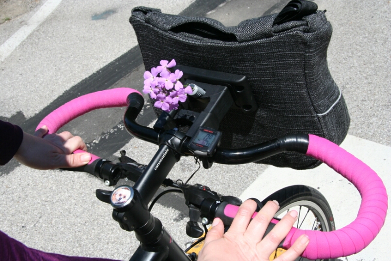
The short way out of the park took us to the gravel Calumet Trail. Rett, like me, prefers the smoothness and predictability of asphalt roads, so I assured her there would be an exit to the road across the train tracks a mile or two in. Except that exit was blocked by fences and giant logs, in outright defiance of what Google Maps would have you believe. Worse, more rain had apparently fallen than I’d guessed, because the trail was filled with dozens of puddles, some more like ponds (complete with tadpoles swimming in them) up to 50 feet long and 4 inches deep. I have tried to expose Rett through all kinds of biking scenarios, but unfortunately riding through ponds was not something we had managed to get to in her 10 month training. She actually did great, but they made her so nervous that we were held around 6 mph for miles, and worse, her grip on her bag-laden handlebar was making her hands go numb. I was relieved that after only a moderate amount of rational argument, she put her stubbornness aside and allowed me to take her handlebar bag with me for the day.

And even more relieved to hear that it did make it things easier for her, since today was scheduled to be one of the longest days of the tour.

After reaching the road and then moving more quickly on to Michigan City, we stopped at the Lighthouse Restaurant for breakfast, again following the trail blazed by Dennis and Swati last summer. Too bad that also marked the point where our temporally-shifted routes diverged. Rather than following along the Lake Michigan shore, we headed straight away from it, up and out of the basin on US 20.

A crappy shoulder, miles of construction, and roaring semis made for some pretty unpleasant riding, but Rett, ever the urban warrior, was happy to take that over the desolate gravel swamp. Thankfully most drivers were very good, shifting in the left lane (when it existed) as I was taking the right lane behind Rett, and only once did we have to pull off to let a chortling semi trailer by.

We eventually made it to the junction with IN-2, where a dusty old restaurant filled with dusty old people stood as one of the few bits of civilization around. Already Rett’s “human-to-seat” interface was causing her pain, so she changed into a fresh pair of shorts, and we ordered some ice cream at the counter to cool down and fuel up (hers with pie, mine with root beer).

Influence is a funny thing. There was one day this spring when a cynical observer at the Lakefront Path would have seen a curious sight: three matched couples riding by in a row. The first a spandex kitted-out girl on her racing bike with her roadie boyfriend, the second a girl struggling in her tight jeans with the one gear available on her single-speed bike behind her hipster boyfriend’s fixed-gear, and the third a girl in moderately athletic clothes on her customized hybrid touring bike out ahead of her boyfriend’s dedicated touring machine. Rett is hardly one to jump on whatever bandwagon her boyfriend happens to be driving (and that’s definitely something I like about her), but with no other biking influences in her life, I suppose it was inevitable that she would tend towards doing things “my way”. Seeing that influence come out in her is something that makes me simultaneously proud, and a little embarrassed. Of course I think my way is the right way, but really it’s just one way of many.

Unfortunately I think that influence carried over further than it should have when it comes to that “human/seat interface”. I never ride with padded shorts, and though I never explicitly said it, I think Rett took the idea that she should likewise “toughen up” her backside rather than taking maximum preventative measures, even as we started this tour. One thing we were unable to do in our compressed window was to determine the combination of seat and shorts that works for her, since she had built up to her first back-to-back long rides less than a month ago. Hard to find a solution when you can’t run the test conditions! So much of Rett’s ride was endured through quite a bit of pain; I just hope we haven’t already passed the point of treatment.

Anyway, IN-2 made things a bit easier, with its wide shoulder and rumble strips essentially giving us a protected bike lane on the major highway. Heading due east, black thunderstorms slid past on the left side, while the right side had blue skies. We got just a bit of cooling from the storms and the cloud cover, and finally a brief shower that at least initiated Rett into rain-riding (another skill we hadn’t yet hit!) Tailwinds also made for a very lucky weather day, if you ignored the heat (which was easier for me than Rett.)

image

The South Bend of the river maybe? I dunno, I just realized I hadn't taken any photos!

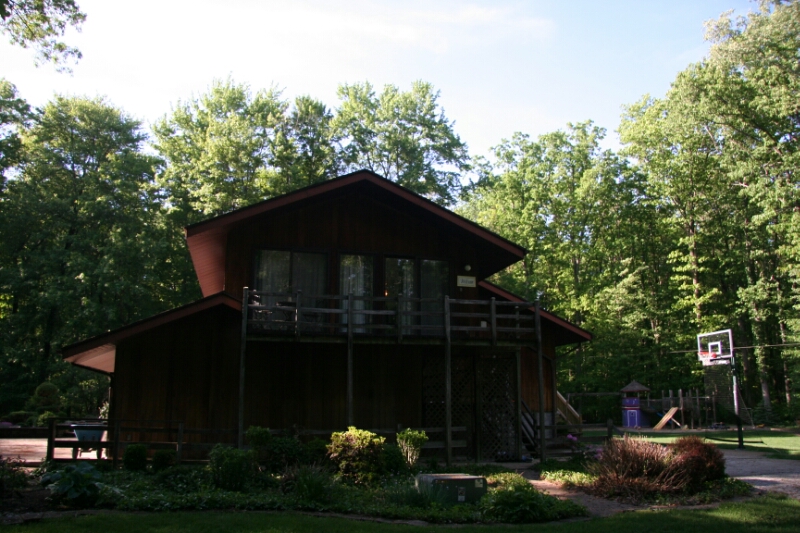
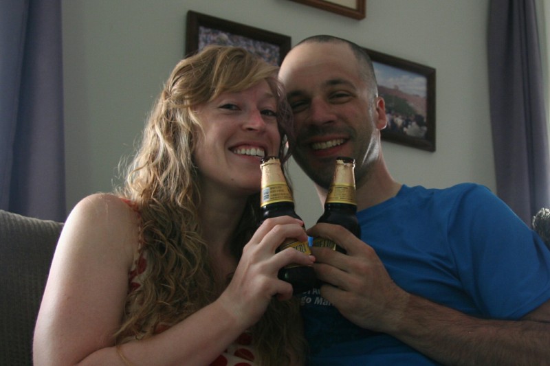
Reaching South Bend, we stopped at Kroger, Taco Bell, and the liquor store (which Rett thankfully thought of for us!) and then made the final push to our destination. In planning, there was a group of hotels at around 50 miles in South Bend (too short of a day) and another at 62 miles in Elkhart (too far, and on a bad route). That left quite a quandary until I discovered an AirBNB listing for an upstairs apartment between the two. Cheaper than the motels and far nicer (at least according to the photos), it almost seemed to good to be true. But no, after turning down the long, winding, forested driveway, there was the house on the gorgeous grounds. Green grass, pleasant songbirds, shadows from the tall trees, it was definitely the place to end Rett’s longest ride yet. The hostess went above and beyond and even offered to let us borrow their car if we needed it, but we had come stocked to stay and not move. Showers, beers, and burritos restored some life into us, and hopefully the big soft bed will do some healing.

image
image

Day 01: Chicago IL to Indiana Dunes, IN

May 26th, 2014

51.2mi / 4:47:02 time / 10.7 mph avg. / 376 ft. climbing
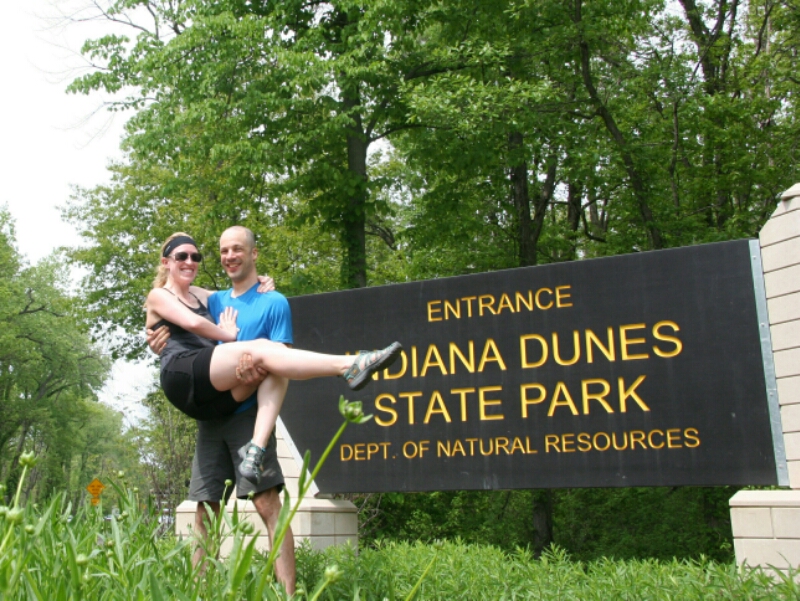
Staying at Indiana Dunes State Park Campground

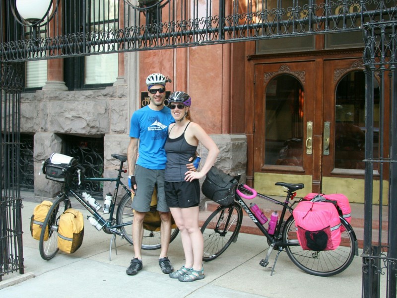
Bike tour#7 begins! Chicago to Skaneateles, NY. This one was the idea of my amazing girlfriend Rett, who set this goal less than a year ago. She not only got herself into touring shape in that time, she also learned how to ride a bike. Yeah, that little important prerequisite to bike touring, actually knowing how to ride a bike? She hadn’t checked that one off yet. But did that stop her? Or even make her pause? Hell no! That’s my girl! Through a lot of hard work, and a few painful “learning experiences”, she was ready.

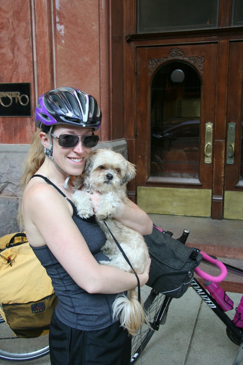
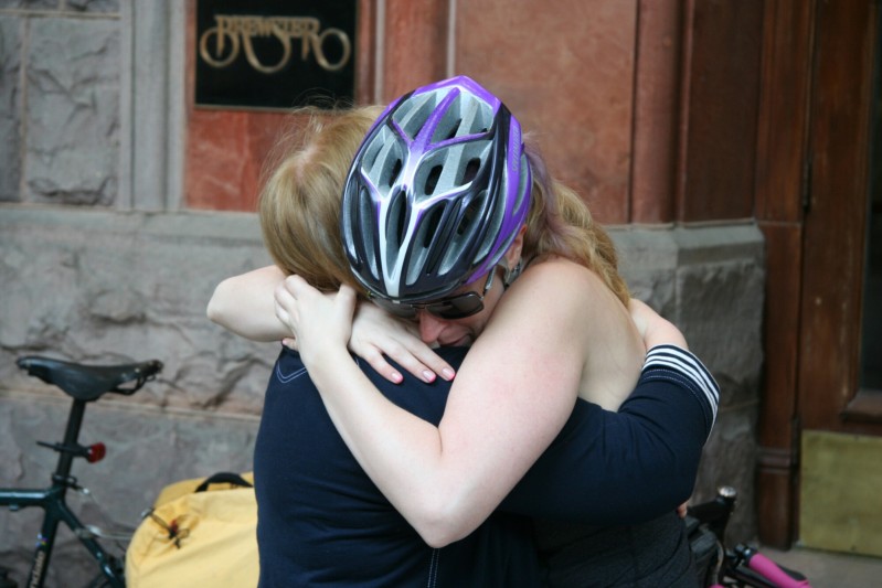
So, up at 6am at her place, her mom, who would be watching her dog Pip during the trip, was nice enough to wake up early in the morning to pick him up and see us off. It’s the longest Rett and Pip have ever been apart, so the normal strong emotions that go with leaving on an epic journey were multiplied.

image

image

image

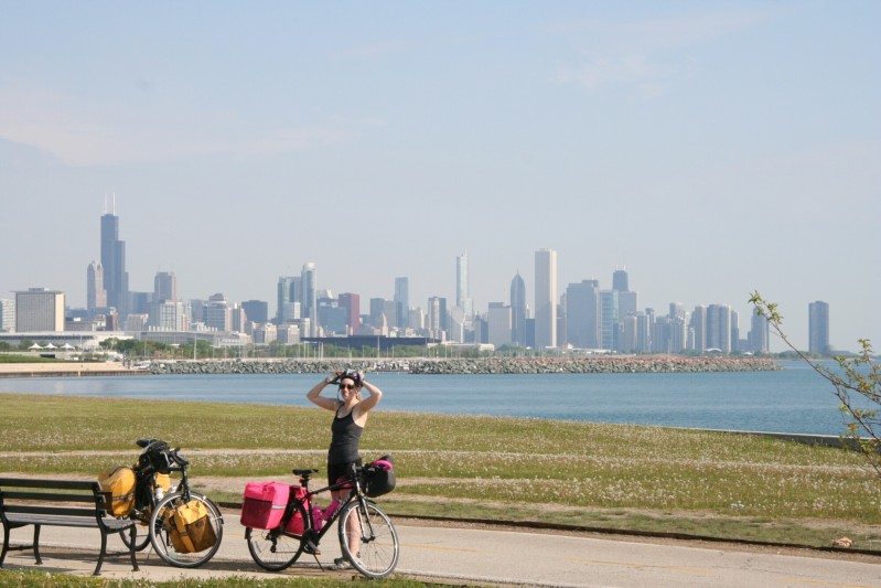
But she did a great job of keeping it together as we headed off into the bright Memorial Day sunshine, south down the Lakefront Path. There were already a ton of people out on the super-popular path at 8am, but luckily the dreaded tourist crowds around Navy Pier had not yet woken up.

So we made short work of the familiar path, nice because it had been Rett’s main training ground (and boy if you can learn to survive the chaos of the LFP, everything after that is easy!) I realized that although I started my first three tours from my front door (one of the ideals of Ken Kifer, my original bike-touring inspiration), I realized that I hadn’t done so for my next three. So it was cool to get back to that (ok, not quite MY front door, but close enough!), and even better, retrace the very route that began my first tour to Atlanta a decade ago.
image

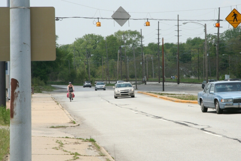
Well, not exactly, because then we rode the nice, empty, bike-laned section of South Shore Drive, a road that didn’t even exist a year ago, much less a decade ago. And then we made our first of four state border crossings, into Indiana. The border sign, with the Chicago Skyway looming darkly over it, unfortunately did not provide a pleasant stop for a photo. We continued down the empty backroads of the BP refinery, surrounded by belching towers of flame that reminded me of the destructive industry of Saruman at Isengard, and Rett of another Dark Tower in literature, hers from Stephen King (a volume of which currently resides in her handlebar bag).

And then, it was time to pass through Gary, Indiana, the town made famous on my first bike tour for the well-meaning woman who tailed me for a mile, pleading with me to not enter such a dangerous place on my own. This time, almost too good (or bad?) to be true, the scene nearly repeated. A couple of guys at a light pulled up next to us, rolled down the window, and warned “Do you know where you’re headed? That’s Gary. Something happens there, you call the cops, they won’t come.” Too her credit, Rett, who had already been subjected to similar fear mongering, immediately piped up “Yes, we know, we’ll be fine!” Luckily they didn’t insist on tailing us, and actually were interested a bit in our trip, but I’m pretty sure they assume we’re dead crazy idiots by now.

But once again, much to my unsurprise, Gary simply failed to live up to its reputation. In the blazing heat, we stopped right in the center of town at a McDonald’s with some of the friendliest fast food employees I’ve ever encountered. Sure, there are some abandoned buildings in pretty bad shape, but there are also some nice new ones. I certainly don’t wish that passing through Gary actually was as dangerous as all these people think it is, but it might make it more interesting!

And it turns out we weren’t the only crazy cyclists passing through Gary today. As we sat in McDonald’s, Rett noticed group after group of blue-jerseyed roadies going by. Later on, we passed their sag-wagon, and then got passed by some of them. Their shirts said “Wrigley to Fenway”. So they were going a bit further than us, though oddly, none asked where we were headed. Clearly they were intimidated by us and embarrassed by their load-avoiding wussiness!
image

We eventually made it to the green-lined smooth, shouldered road of the Dunes Highway for our last segment. A lot more cars were leaving the Dunes than arriving, which is good news for us. We don’t have to go to work tomorrow! Or the next day…

We made it to camp before 3pm, a great first-day performance by Rett. After a bit of refreshing and setting up camp (and Rett, in Dennis’s place, reminding me to change into my more comfortable sandals!) she showed off how good she was doing by hiking up a big ol’ dune for a dip in bracing Lake Michigan. Ah, that was refreshing! Well, at least until we had to hike back over the dune in the still-burning sun…
image
image
image

Back in camp and after showers, I cooked up some underwhelming burgers, though luckily we were hungry enough to put them down anyway. Then, just as I’m almost done cleaning up, a rumble of thunder. Uh oh. Check the radar on my phone (yep, that’s camping these days, and sure enough, it’s coming. Well, at least it waited ’til we were done riding, sightseeing, and eating! So we hole up in the thick air of the tent at 7pm. But eventually it cools off a bit, the raindrops put Rett to sleep, and I have time to write this entry. All in all, a successful first day of Rett’s first tour!
image

Day 26: San Gabriel Mountains, CA to Los Angeles, CA

September 28th, 2012

59.3 mi / 4:33:57 time / 12.9 mph avg. / 2034 ft. climbing
Staying at Laurianne and Brad’s Place

While the mountain-climbing part of the trip was effectively over yesterday, I lack access to a helicopter, so the top of a mountain is not a very practical jumping off point for my return to normal life. That meant I still had a ride into and through LA on the menu today, which I owas actually pretty excited about.

Laurianne, the sister of my old childhood friend Dave, lives in LA now, and she had been following along on my trip via Facebook. Some talk about meeting up for a drink had morphed into a very generous offer from her and her boyfriend Brad to spend the night at their place. This was at least triply-awesome. First, and silliest, it meant that I would spend every single night of my month-long trip without ever staying in a motel. I think my previous camping record was 14 days; I blew that away on this trip by camping 25 nights in a row, and combined with a night at Joel and Chika’s and now a night at Laurianne and Brad’s, it’s about the purest (not to mention cheapest!) way to spend a month away from home. Second, it meant that I would be able to break my streak of solitude by spending the evening with some cool people. And third, it gave some definition to my time in LA. The LA/exit portion of the trip is the one bit that I hadn’t pre-planned in excruciating detail, and that meant that I probably would have just defaulted to finding a motel in the morning, and upon arriving, would have slumped into the room, and spent the next 24 hours eating, watching TV, eating, and eating.

Only in the last few days had I remembered that I actually did have one slack day built in: it would have been bad news for the people next to me on the plane, but if I lost a day somewhere, I theoretically could have rode straight from the mountaintop to the Amtrak station, shipped my bike, and made it to LAX in time for my 2:45 flight. But now I would make something of my time in town (and give my seat mates on the plane and more pleasant-smelling flight!)

Last night’s campground was a lot nicer than I had been expecting; the area in the Angeles National Forest had been hit pretty bad by fire a year or two ago, and many of the areas are still restricted. So I pictured a campground with some scraggly brush and a few blackened tree trunks. But it was actually filled with nice healthy shade trees enclosing the sites, and even had a small stream running through the middle (and directly over the concrete campground road).
image

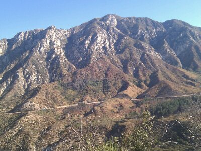
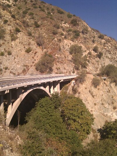
And the whole “forest” was much nicer too. Some of the mountainsides were actually green, and wow, there were some serious mountainsides. That meant I still had a bit more up-and-down to do before hitting the final descent. I always knew LA had “mountains” around it (that Hollywood sign is widely visible for a reason) , but had no idea that there were 5-6000 foot Mountains just outside the city. That’s a similar elevation relationship as Denver and the Front Range to its west.
image
image

The afternoon before, as I traveled south and up from the Antelope Valley, I noticed most cars were coming in the opposite direction. This morning, it was the opposite, and I guessed 10 cars passed in my direction for every one coming the other way. So hey, let’s count. In the 5 mile section to the Angeles Crest Highway, the count was 99 to 9. Darn it, 11 to 1, my estimate was just off! 🙂

So that clearly means these are commuters living in the Antelope Valley and working in the LA area. At an absolute minimum, that’s a 70 mile round-trip commute, which maybe isn’t crazier than a lot of exurb-to-city commutes in the country, but the craziness of such commutes is revealed with unignorable obviousness when you see them happening over a winding, nearly-empty mountain road that was only intended to be traveled by vacationers and forest service workers. To their credit, many of these commuters were driving relatively small, fuel-efficient cars, but nonetheless they are lifting at least 200 bowling balls up (and down) seven Sears Towers just to get to work every day. Insanity. Presumably they’ve done the math and found that this route works better for them than the longer-but-flatter main highway connecting the same valleys. Or maybe they just like the prettier and less mind-numbing drive, for which I can’t really blame them. But I can (and will!) blame them for living in an entirely different region from where they work!

image

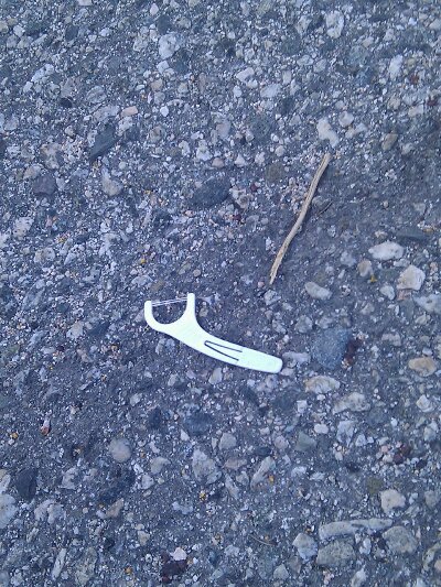
Hot new roadside litter of 2012, must've seen 100 of these through OR and CA

On the downhill I got my first view of the smog-obscured LA basin (though apparently far clearer than it once was!) and then suddenly I was dumped into the very pretty, high-class suburb of La Canada Flintridge, with greenery and flowers everywhere that I hadn’t seen since Portland. The town is still on the mountain slope, so on the main road running down the slope I saw my first runaway-vehicle ramps in a residential neighborhood. They aren’t actually ramps, instead, it’s a gravel/sandy median in the middle of the road that presumably drag your vehicle to a halt.

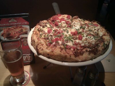
I wound down Chevy Chase Drive, looking at all the fancy houses, and then stopped in the very Armenian suburb of Glendale for library and lunch (Armenian-language section in the library! Armenian lawyer for hire!) Lunch was at BJs Brewhouse, a sort of commercial/chain place, where I got myself a 2400-calorie “deep dish” pizza for lunch (probably over 3000 with my 2 beers + salad). The pizza of course wasn’t anything a Chicagoan would recognize as “deep dish”, but I had to get it just for comparison, and it wasn’t bad for what it was.
image

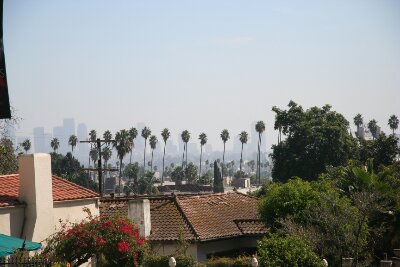
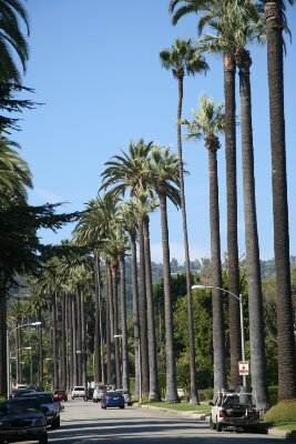
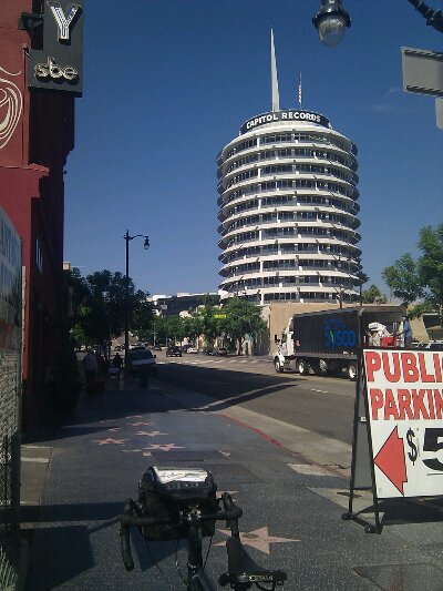
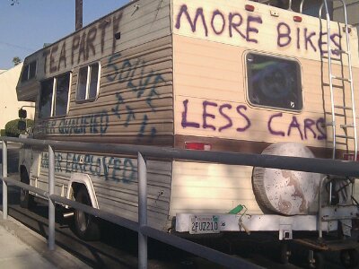
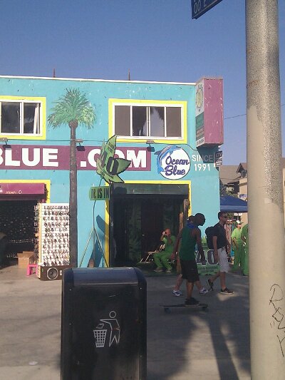
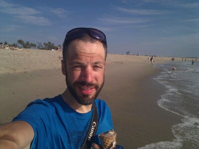
Then it was time to see LA! The lines of tall palm trees, the vagrants and suntanners laying about the greenery of Griffith Park, the iconic Hollywood sign, a cruise down not-so-glitzy Hollywood Boulevard, a roll through very-nice but surprisingly-normal residential Beverly Hills, past tourists and high school kids at Santa Monica pier, an observation the highest concentration of LA weirdos, freaks, and potheads at Venice Beach, and finally and most importantly, my long-awaited return, from heights unimaginable, to the ocean! I got myself a big old waffle cone from a Venice Beach ice cream shop to eat on my walk across the wide, soft stretch of sand, and under the California sun let the warm waves, so different in character than their Oregon siblings, wash the wear from my feet. Ahhhhhh. Life reset to zero. I checked to see if this ocean would spit my lost cyclometer back to me, but no luck.

image

image

image

image

Historical relic!


image

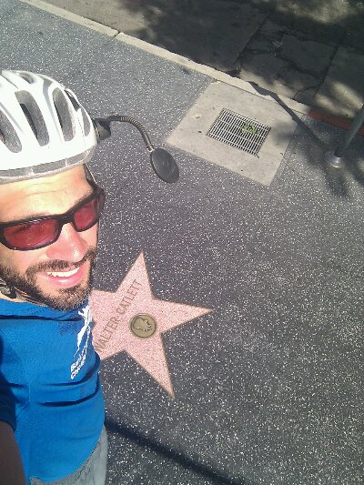
Just because no one gets their picture with poor Walter Callett!


image

image

image

Then I turned around for a ride up Venice Boulevard to Laurianne and Brad’s place. LA is as spread-out as I expected, so at least 30 of my miles today were just touring the city, which I think gave me as good a feel for a place as you can get in an afternoon. I actually liked the place a lot more than I expected I would (and certainly more than all the haters of Northern California who frequently made a verbal or non-verbal commentary when hearing of my final destination!) I don’t think I’m ready to move there, but I can certainly understand why so many people have decided to. The cycling was actually pretty good too. On a stretch of Santa Monica Boulevard, when I was still in dawdling sight-seeing mode, even though there were no sights to see, I got passed by a guy with a messenger bag who clearly knew what he was doing. That inspired me to put the hammer down and take off after him. I couldn’t quite keep on his tail, but for miles never got more than half a block behind, and he did a great job of leading the way, pointing out opening car doors, crazy bus drivers, and generally giving me a lesson in LA cycling to follow. It felt awesome to switch out of touring-cyclist mode and back into (sub)urban-warrior mode, especially since this warrior was piloting a tank today!

I met Brad at the apartment, he helped get my bags and bike up inside, and shortly after Laurianne arrived home from work. I got a shower (not on a concrete floor, that I didn’t need any quarters for, and with an extensive selection of cleansing products!), and then we cracked some beers and caught up a bit. As I had hoped, they did a great job of thinking of LA places for dinner that would also be a good fit for a guy who just finished the most energy-intensive tour of his life, but first we got a quick look (and smell!) at the La Brea Tar Pits, because, you know, there are these primeval tar pits still bubbling away right in the urban middle of the 2nd-biggest metropolis in the country!

image

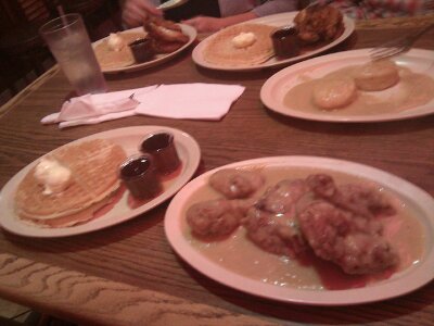
Then it was on to Roscoe’s Chicken and Waffles, proudly decorated with photos of President Obama’s recent visit, where I followed the suggestion of their logo that features a chicken and a waffle, and got, yes, chicken and waffles. Specifically, half of a chicken, smothered in gravy, and two giant waffles, smothered in butter and syrup. Oh my. Somehow the enormous lunch less than 5 hours earlier, nor the giant ice cream cone, had any effect on me clearing my plates (yes, plural).
image

Then back to the apartment for some more drinks, laying about, catching up on both personal and world news, and even helping start my transition back into society with some Thursday night TV! I got set up on the nice soft couch for a night’s sleep, so glad I hadn’t used up this buffer day earlier, and thankful to Laurianne and Brad for helping draw the final period at the tail of my trip.

Day 25: Tehachapi, CA to San Gabriel Mountains, CA

September 27th, 2012

78.2 mi / 6:06:58 time / 12.7 mph avg. / 3858 ft. climbing
Staying at Monte Cristo National Forest Campground

I woke up exactly at 6am, and found that the ducks were still quacking away, though it hadn’t prevented me from having one of the soundest sleeps of the whole trip. When I hit the road, it felt like it was really late and I was way behind, but it was only 8am. The difference was the wide Tehachapi Valley didn’t have any nearby mountains to block the rising sun, so it appeared way higher above the horizon than I had become accustomed to.
image

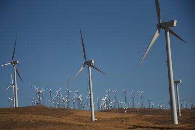
I took long, straight, Highline Road due east to leave the valley. It stays above and south of Tehachapi proper, so no more rants were inspired. I had a small lip to climb over to get from the Tehachapi Valley to the Antelope Valley. On that lip and running down the mountainside sits what I believe is one of the world’s largest wind farms, which reduces my haughty disregard for Tehachapians a bit, though I was happy that for this morning at least, very few of the turbines was spinning.
image

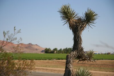
Then it was a long, gradual 2000 foot descent into the true high desert of the Antelope Valley. Sprinkled with Joshua Trees, it’s so flat, they used to land Space Shuttles there, though a few pockets of mountains pop up in the interior of the pancake like bursting blueberries. The borders are defined by two geometrically inexplicable 5000 foot mountain ranges, forming a perfect ‘V’ that opens to the east. I descended from the northern range in the morning, climbed up the southern range in the afternoon, and spent the rest of the day inside Pac-Man’s mouth, which thankfully didn’t close on me.

image

Joshua Trees, bare mountains, and a bright green field. One of these does not belong!

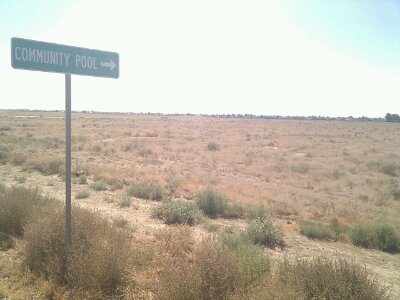
I stopped for Internet at the library in Rosamond, which is a huge, beautiful new building that stays closed and unused 4 days a week. Strange, because unlike Piedra, Rosamond is actually a pretty big community with car dealerships and chain stores and all that. Even though it’s in the middle of a desert.

image

If you say so!

From there I headed south southeast on the perfectly-angled Sierra Highway. It, along with the railroad and the Air Force Base, form the eastern border of Rosamond and the other middle-of-the-desert cities of Lancaster and Palmdale. It was nice to crank along for miles and miles at a steady pace. Temperatures never really exceeded the low 90s, so it was far from the worst heat I’ve faced, helped by the fact that I remained over 2000 feet above sea level. Through Lancaster and Palmdale there is a long bike path paralleling the highway, and despite the fact that it was on the wrong side of the road from me, it was actually really nice, because the railroad next to it meant there were almost no traffic crossings. And it was even lined with trees and plantings to give a bit of cooling shade, something that was nowhere to be found on the road.

image

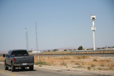
A solar power tower! Maybe these people are greener than I thought.

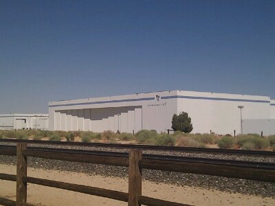
As I slowed to take a photo of the Lockheed-Martin Skunkworks, I heard a “thup-thup-thup” on my front tire, and discovered something stuck to it. I pulled it off, and “psshh”, out came the air along with the thorny thing. Dammit! Not so much that I had a flat tire, but I had been hoping to make it through two consecutive tours without a flat. Oh well, some 2500 loaded miles on a set of tires (Schwalbe Marathon Supremes) before the first flat is pretty darn good.
image

The front tire is the easy one to fix, so I quickly got that taken care of and since I’m in Southern California, made my way over to the In-and-Out Burger for a late lunch. Wow, they sure make ordering easy, with barely anything on the menu, but they had the 4 things I wanted: cheeseburger (double, of course), fries, a soft drink, and a chocolate shake. The cashier took note of my awesome cyclist tan, which he recognized from seeing on his cyclist friend. I made a grocery stop and a truly Mexican grocery where it was hard to find the white-man bread products, and then made a stop at the gas station to put more air pressure in my tires than my mini-pump is capable of. A sign informed me that California State Law requires air and water to be given for free to purchasers of gasoline. Does the attendant come out and just drop a quarter in the machine for you? I didn’t find out, since I hadn’t purchased any gas, so I just dropped my own quarter. Though now I wonder if I should have squirted a penny of gas on the ground and saved myself 24 cents!

Then it was time to climb the last Big Hill of the trip. At 2500 feet up into the San Gabriel Mountains, it would be the 30th climb of 1000 feet or more in 17 days. Since it was a state route, the grades never exceeded the range of my gears, so it was a nice “easy” way to go out.

On the way up, I found myself thinking of Greg Polerecky. He was one of the group of athletically-talented classmates of mine in elementary school. Due to my inability to regularly make contact with a baseball or shoot a basketball through a net, I learned at a young age that I was athletically inferior to guys like Greg. On the idiotic but culturally-unavoidable Jocks-Nerds Continuum, that resulted in a self-image that put me far on the “Nerd” side (truly, a badge I was never too ashamed to wear). But now that I look back, I realize I’m the guy who won the Gold Medal in the Cub Scout Olympics, I’m the guy who led my high school track team to a Conference Championship, I’m the guy who put down a 3:35 marathon just for the heck of it, and now, at 35, I’m the guy who is about to complete a conquest of the formidable Sierra Nevada Mountains. So maybe I’m a bit of an athlete after all. I really don’t need to stroke my own ego more than I already do, and there’s not even a strong logical reason to build that ego upon athletic accomplishments, but it’s nice to dredge up and clear out a long-standing misconception of myself from childhood. It’s just interesting to realize how ancient, fleeting moments like that can stick, and even though they mostly lie dormant, still have effects on our psyche. Of course I still can’t put a basketball through a net very well, and I haven’t tried to hit a baseball in years, but as long as I can keep my hands out of the equation I’d be happy to go up against Greg any time!

image

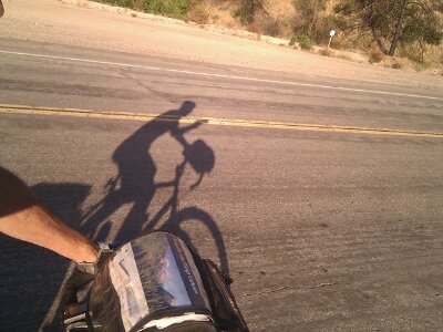
Self Portrait

At the top, there was no elevation or summit sign, but that was fine, it was just me and the bike. I had 7 more miles to roll down to the campground, but for me, the day, and essentially the whole trip, was finished right there, 5000 above Los Angeles, in the warm glow of the late-afternoon sun. I was done, and although these mountains bent me severely, they never broke me, and of that I’ll remain forever proud. That means I still don’t know what my limits truly are, but I think it’s no longer necessary to explore any further. They are farther out than I thought they were, and hopefully farther than I’ll ever need them to be. And that’s enough for me. Let’s roll back down to the sea.

image

(I must have realized I could finally relax my focus)

Day 24: Lake Isabella, CA to Tehachapi, CA

September 26th, 2012

60.0 mi / 6:24:47 time / 9.3 mph avg. / 7132 ft. climbing
Staying at Brite Lake Recreation Area

Last night’s enormous campground was deserted, as far as I could tell, so I was surprised that when I went to get an envelope to deposit my $20 fee, the sign said nope, no envelopes, a uniformed ranger will stop by to collect. Uh, yeah, fat chance of that. I had all the privacy I needed, so I spent another night out on top of the picnic table, and of course no ranger ever appeared. Given the complete lack of motel-nights and the dozen or so campgrounds where I’ve paid $5 or less, this is turning out be my cheapest bill for lodging ever on a tour. Not so for the beer bill, however!
image

After spending what seems like weeks on nearly empty winding mountain roads where no cars pass you faster than 20 mph, it was quite a system shock to start the day with all the morning commuters hustling between the towns surrounding Lake Isabella at 60 mph, on a shoulderless road. I stopped at the McDonald’s in the town of Lake Isabella for breakfast, not for the taste, but for the speed, convenience, and WiFi. Seems like the first town in forever with chain stores. And geez, $4.99 for 1400 calories of Deluxe Breakfast? It’s hard to beat that, and made my $3.69 350 calorie smoothie look like a complete ripoff in comparison!

Today’s distance wasn’t long, and there were no giant mountains, but there was still a ton of climbing as the route basically bashes its way out through the folded southern foothills of the Sierras. There was also very little civilization, so I made sure to carry a Gatorade out of Lake Isabella along with my 3 water bottles.

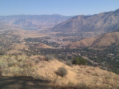
The morning half of the ride was three climbs in the 1000-foot range, and since it was back on less-than-state highways (the Bodfish-Caliente Road), that meant sections of 10+% grades again. It seems like my phase of engine-difficulty is now well-past, so while it was hard, it was fun-hard, not sucks-hard. The route out of Lake Isabella continually informed me I was on a Dam Failure Evacuation Route. Pretty much the same idea as the Tsunami Evacuation Route signs from the Oregon coast I guess, though this disaster would be man-made. I found it curious that even though I’ve passed downstream of a few big dams now, this is the first I’ve seen such signs. Are those living downstream from Pine Flat Lake or Lake Kaweah just unconcerned, or is the Lake Isabella dam more likely to fail?
image

The last climb was on a road that only appears on Google Maps if you zoom in really far. It’s odd, because the roads are like a lower-case ‘b’, where you start at the top of the stem, and want to get to the bottom. Google by default will take you all the way around the curve to get you there, rather than just continuing straight down. Usually that means the road is dirt, has a 40% grade, or is populated by an army of Nazi separatists waiting to shoot anyone who crosses their lands. I had done enough research to know none of that was true, but was still a bit nervous about what I’d find. What I found was a perfectly normal mountain road, in better shape than many I’ve been on recently. Weird.
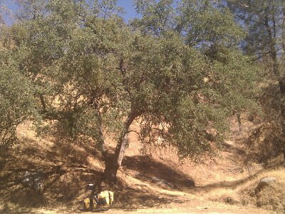
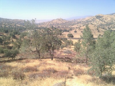
It was all much more pleasant than I’d been expecting, largely because I was playing between 3000 and 4000 feet, so this open mountain rangeland was more oak chapparal than dessicated grassland. On the way down the big descent of the day that would take me to a place with no services ominously called ‘Caliente’, at 1300 feet, I spent a few miles pulsing the brakes trying to find the perfect oak tree casting the perfect shade on the perfect rock to sit and have some lunch. I think I found it a couple times, but too late, I was already too far past down the hill. The third maybe wasn’t quite as perfect, but it was still pretty good, and more importantly, I was able to stop for it. Even at the bottom, in full sun, I don’t think the temperatures broke above the mid-80s today, so I guess you’re not so ‘Caliente’ at after all, but huh?
image

Lunch spot

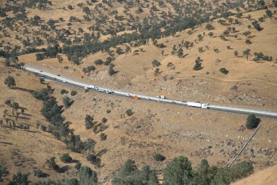
One last brutal climb up from Caliente, and I made it to CA 58, effectively a superhighway headed up the mountain from Bakersfield. Sign said bicycles are not allowed. Hmm. I’m pretty sure this was on the Adventure Cycling Route, and I couldn’t believe they’d send anyone down a road illegally. I pulled out my maps to investigate if there were any alternates. I wasn’t worried about breaking their rules, but there was an endless mass of semi trucks grinding and huffing and roaring and wheezing up the hill in both lanes (literally more semi trucks in 5 minutes than I’ve seen the entire trip, it was astounding), often with their hazard lights flashing, and it made me wonder of the huge shoulder disappeared or something else strange like that. Then I noticed a big cell tower right next to me. Internet worked, and a quick search for “Adventure Cycling Sierra Cascades SR58” brought me to a thread at their forum where a local said he rode it once a week and never had an issue, and AC said the sign was put there in error and CalTrans had been informed. Alright! You’re awesome, Google! Onward! (a county sheriff did in fact pass me, and gave me no trouble).

Though the semis were struggling up the grade, it was a lot easier for me than what I had been on, so I was a bit sad to leave it when the local alternate appeared and dropped me into the town-in-a-building of Keane. This “town” was missing the gas station and 90% of the general store, but I was able to get the waitress to give me two big scoops of oh-so-good vanilla ice cream in a Styrofoam box (she thought I wanted it to go for some reason), and she filled my water bottles.
image

Seems the local rises a bit faster than the main highway!

During the big climb to Tehachapi that followed, when I realized this was going to be yet another 7000+ foot day, I started telling myself a story to remind myself what 7000+ feet of climbing really is, and just because it seems to be happening frequently, that doesn’t mean it’s normal, and it’s important to remember that’s why this trip seems like so much work. It goes something like this:

Go down to your local bowling alley and pick up a 15 lb. ball. Feels like a nice heft, right? Now put that in a sack, and find 2 more to add to the sack. Do the same with a second sack, filling it with 3 more 15 lb. bowling balls (make sure you have some strong sacks!) Now pick them up, if you can, and walk over to the Sears Tower. Stand at the base and look all the way up to the top. Think about making it to those miniscule glass ledges way up there with all your bowling balls. Then stack four more Sears Towers on top of the first one, and imagine making it to the top of that. Of course there is no elevator, and remember, no air-conditioning in the stairwell either.

That’s a bit what 7000+ feet of climbing is. Of course I’m lucky that my 90 lbs. of bowling balls are sitting beneath me, so I don’t have to lift them as well as move them. And a bicycle, utilizing the ancient inventions of wheels and gears, is an incredibly efficient machine, so it moves with a lot less energy wasted than you trudging up an endless staircase. But still, that exercise helped return to me some perspective, and better, while thinking about it, 1000 feet had passed without me noticing it!

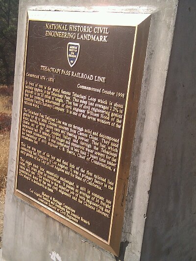
A railroad was running up the hill between me and SR58, and I soon came to one of the “Seven Wonders of the Railroad World”, the Tehachapi Loop, where the rail line does a complete circular loop over itself, roller-coaster style, in order to gain the necessary altitude without killing the trains. In other places the line also snakes back and forth to reduce the grade, which is something I do too when restarting from a stop on a hill that was just too much: I start riding perpendicular to the road to gain some forward momentum before turning uphill again. A marker noted that this rail route, completed in 1856 linking San Francisco and Los Angeles, greatly helping the growth of LA, averages a 2.2% grade. Oh, 2.2%! I’m so impressed! I wish my hard routes were 2.2%!
image

image

image

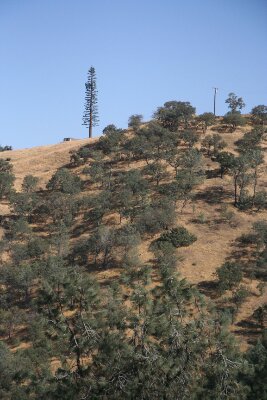
Can you spot the cell phone tower? It might actually work 2000 ft higher where there are trees like that. Points for at least trying though!

Once I crested the hill, the empty road I was on suddenly became filled with traffic. Wait, how is this possible? I hadn’t passed another town, or a factory, or anything that explained what was suddenly sending all these people to-and-from distant Tehachapi. Oh, it was the houses. It was the “community” of Golden Hills, with houses sitting on big giant plots of land, not because they were doing ranching or farming, or because there was no room closer to the nearest businesses miles away in Tehachapi, but just because. So all of these people were running back and forth, probably 6 times a day, carrying at least two hundred bowling balls with them wherever they went. Of course not even the strongest and healthiest human can move that many bowling balls under their own power, so instead, they dig up rotting dinosaur meat from the ground and explode it to push themselves forward. Even if they don’t run out of dinosaur meat, the explosions are likely making their already-hot-and-dry lands even hotter and drier, and the whole thing just seems totally unsustainable. There was a nice bike lane along the road, but was there anyone but me on it? Do you even have to ask?

There has to be a better way. As hard as I work and as much energy as I take in and put out to move my bowling balls forward and up the Sears Towers, everyone else has to put out tens or hundreds of times more energy than that. Those semi trucks grinding up that hill were exploding so many dinosaurs that I’m surprised it wasn’t raining dinosaur blood from the sky, but on the whole they’re way more efficient than the guy in his Durango driving 10 miles to pick up a pack of smokes. The trains going up the 2.2% grade are even more efficient, so much that the sign says 36 trains a day still use that line constructed in 1856. Unfortunately that’s still not nearly enough, and the huffing-and-puffing trucks have to carry all the rest of the stuff that overflows from the trains. And what is all this stuff? I’m sure a lot of it is quite necessary, like the bread and cheese and ice cream that kept me alive and moving today. But all of it? Living for a month (and living an awesome, liberating, and joyful life) with all your possessions in the equivalent of two bowling-ball sacks really makes our addiction to stuff seem ugly and stupid and counter-productive. But of course I should not be casting the first stone, as I have often thought while riding how fun this same route through the mountains would be in my dinosaur-exploding Miata. Argh, hopefully we’ll learn and grow past this adolescence before it becomes too late.

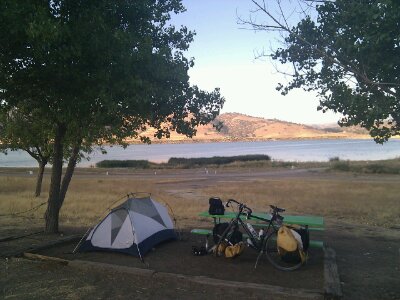
Okay, back to the ride! I finally made it to some non-houses in Tehachapi, where I got my second early-dinner in a row. Mexican this time. Shut up, yesterday wasn’t “Mexican” just because it was tacos! This was full-Mexican, chips-and-salsa, margarita, enchiladas, and… a salad? I guess that’s how they roll here in Tehachapi. At the next table, a 60-something man spent their whole dinner regaling his poor date (?) with tales of every fight he had been in (or nearly been in) in his life. The short ride to the campground was surprisingly difficult, both because it reached the high point in the day and because it was into a strong wind. (ok, maybe the strong margarita had something to do with it too). It’s actually cool enough to be wearing my hat outside at night for the first time in a while, and there’s an enormous herd of ducks sitting on the lake quaking up a storm. Sounds like they go all night here!
image